post

Rangiroa, French Polynesia

2014 Hawai’i-French Polynesia cruise

March 7, 2014 – Friday – Rangiroa, Tuamotu Group, French Polynesia

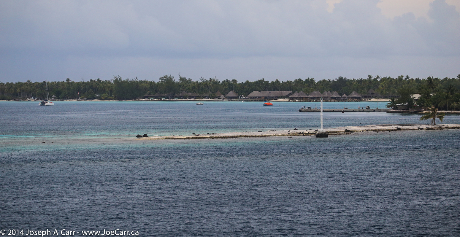
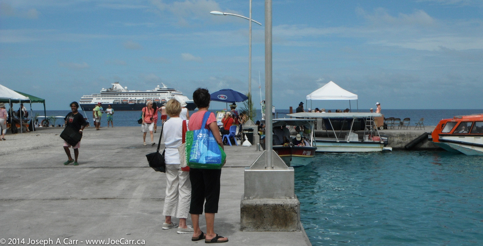
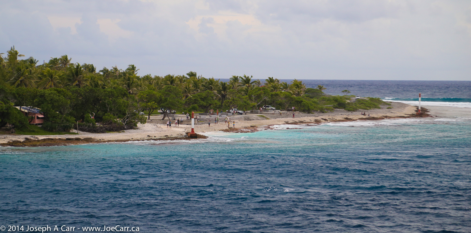
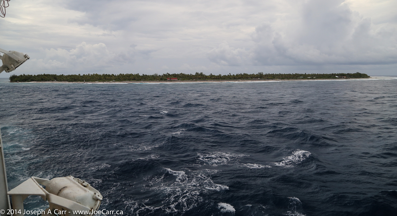
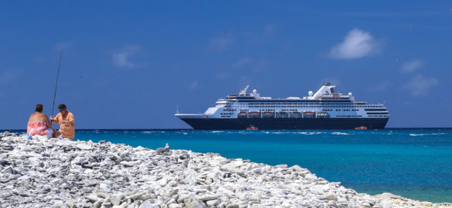
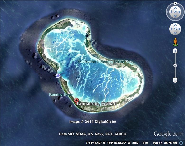
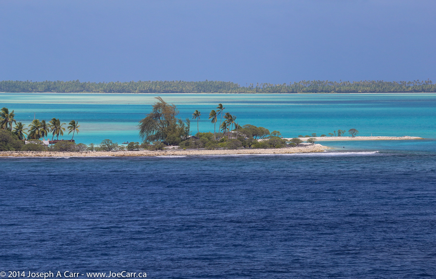
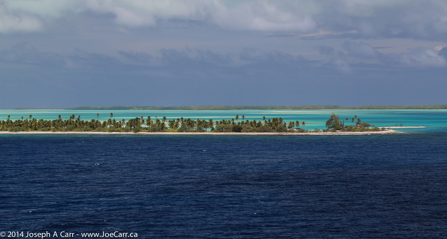
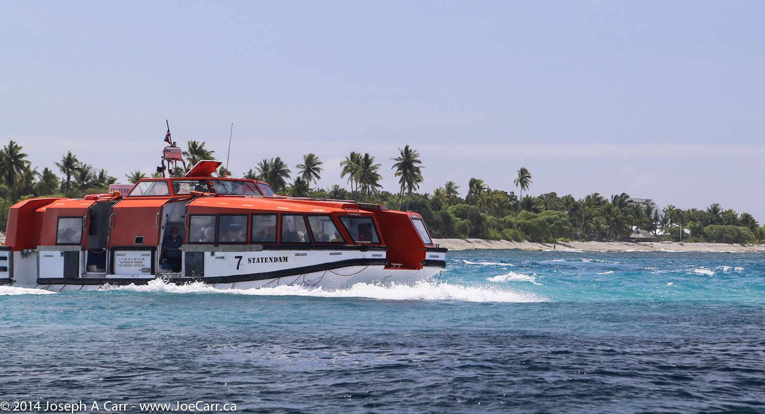
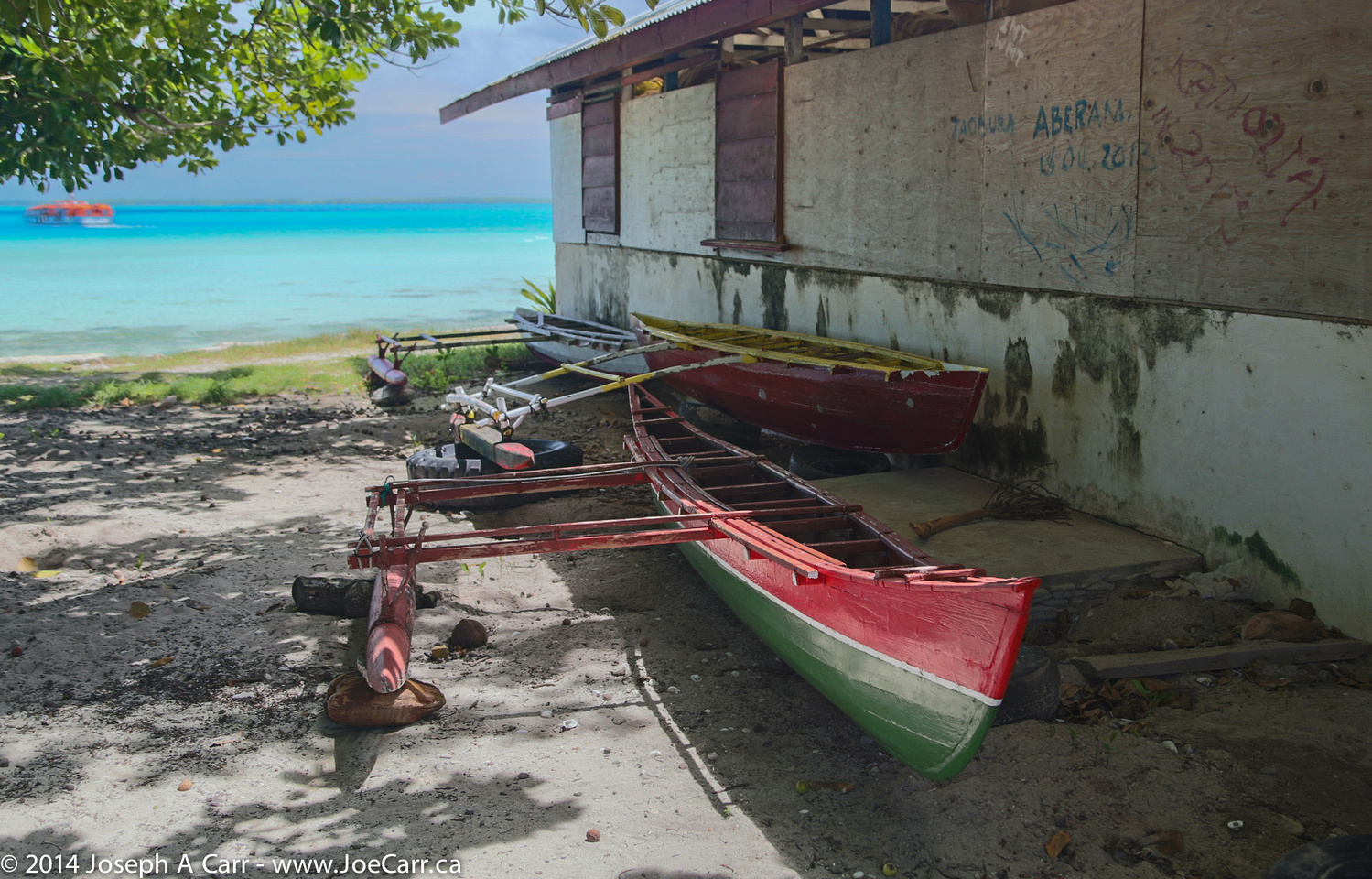
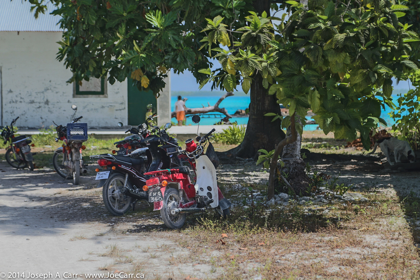
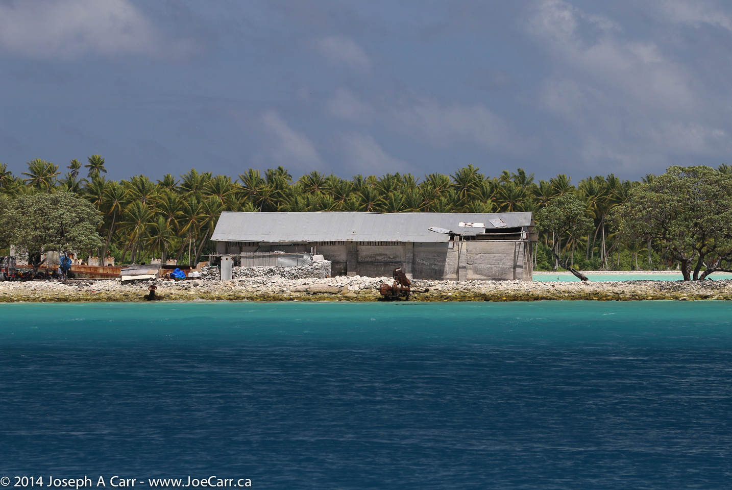
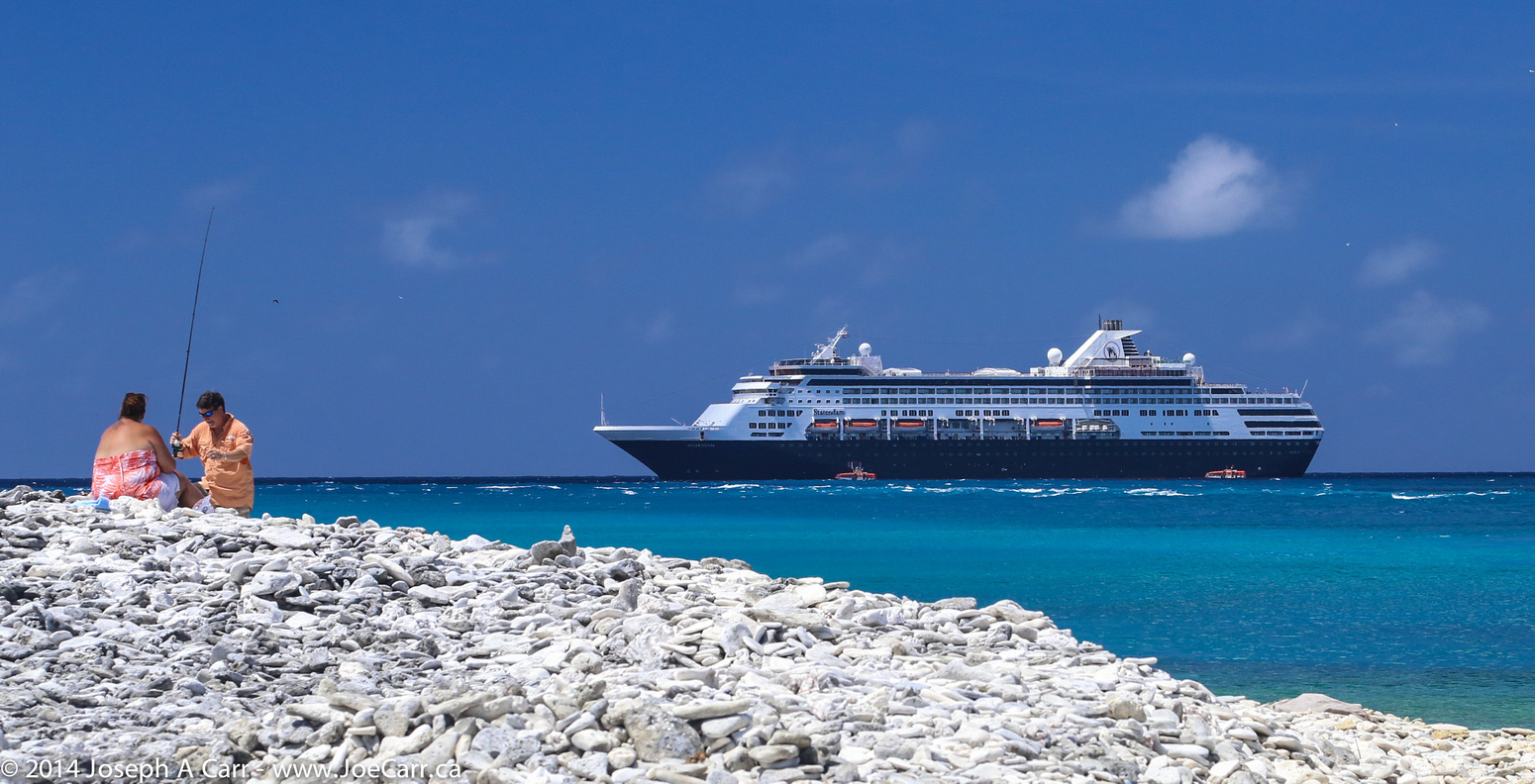
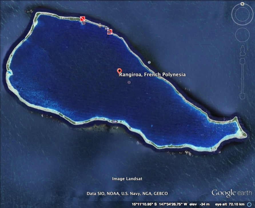
The ship arrives at Rangiroa before 7AM, and enters this atoll’s lagoon. Like Fanning Island, this atoll is remote, but unlike Fanning, the entrance to the Rangiroa atoll is sufficiently deep to allow ships to enter the sheltered lagoon through a proper navigation channel. Tendering to the little town of Avatoru is easy in these calm waters.

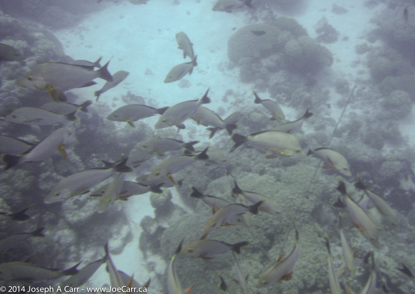
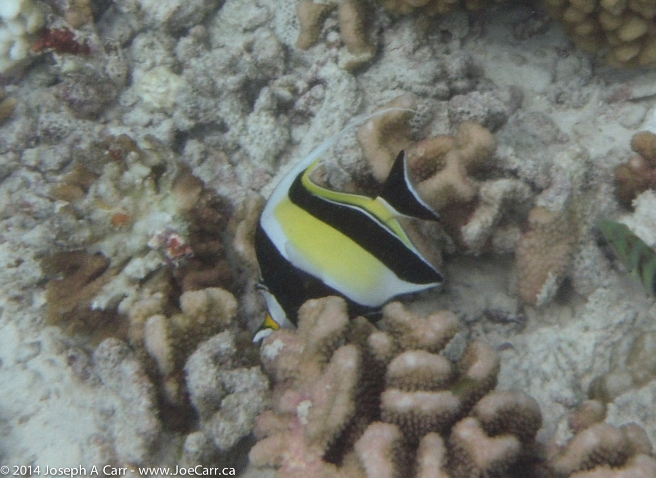
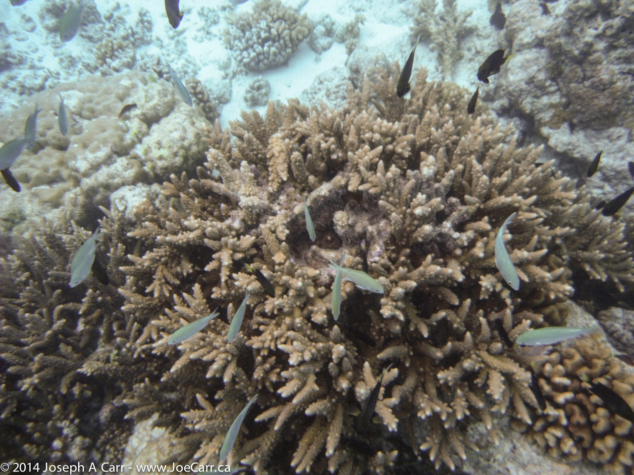
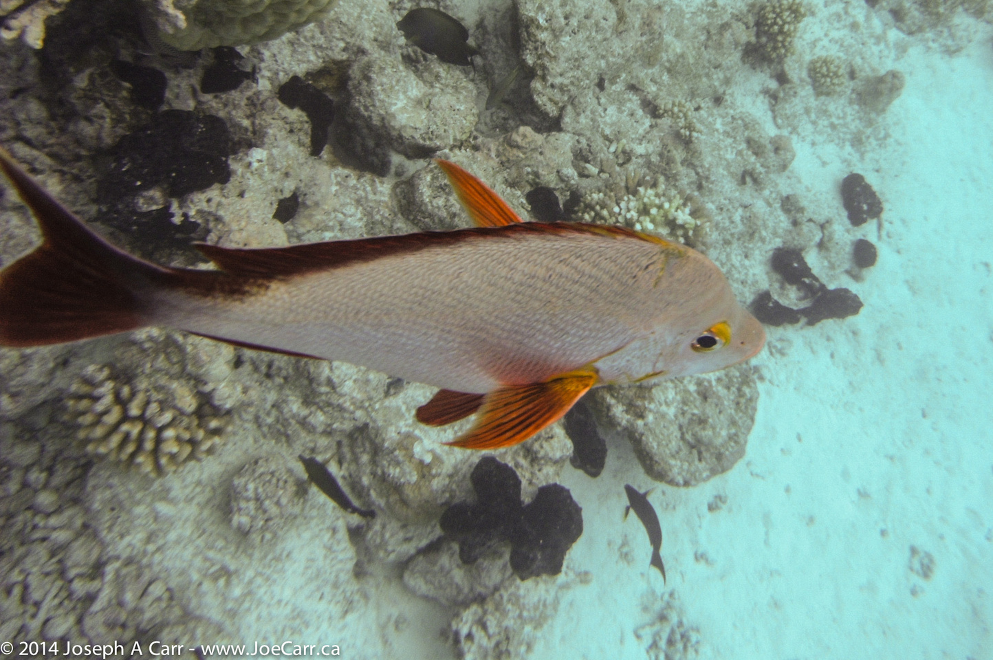
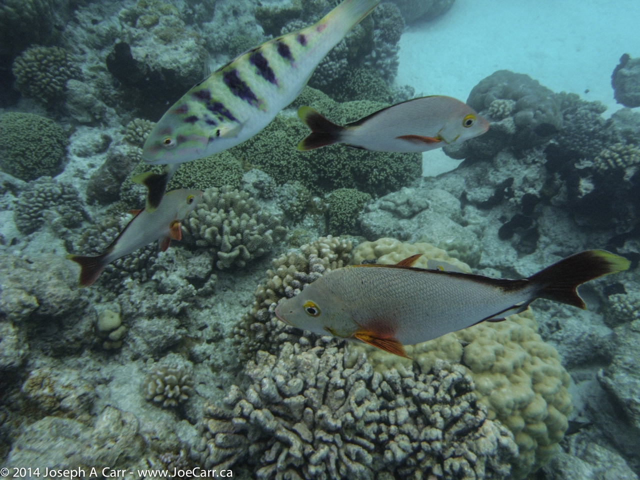
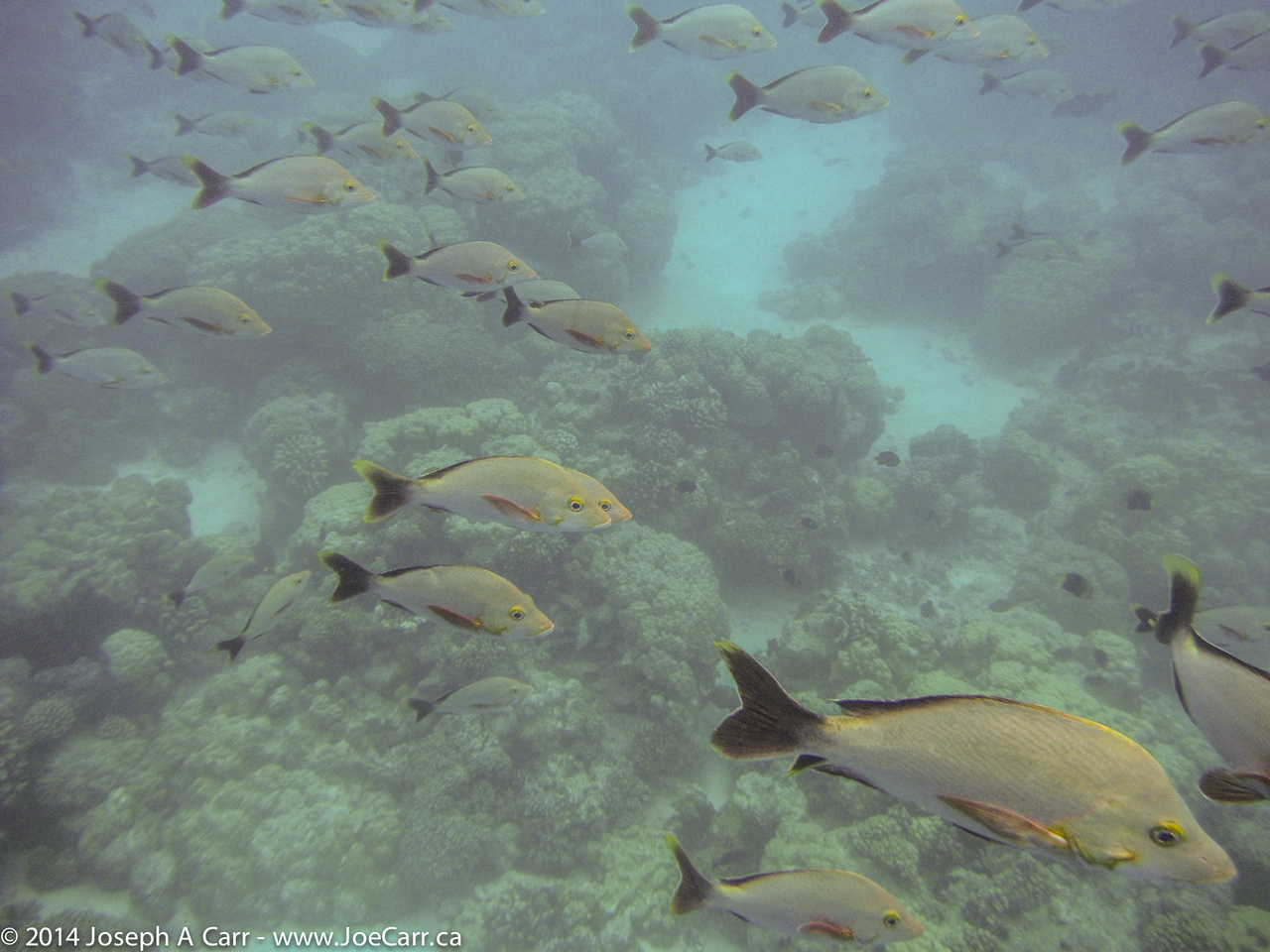
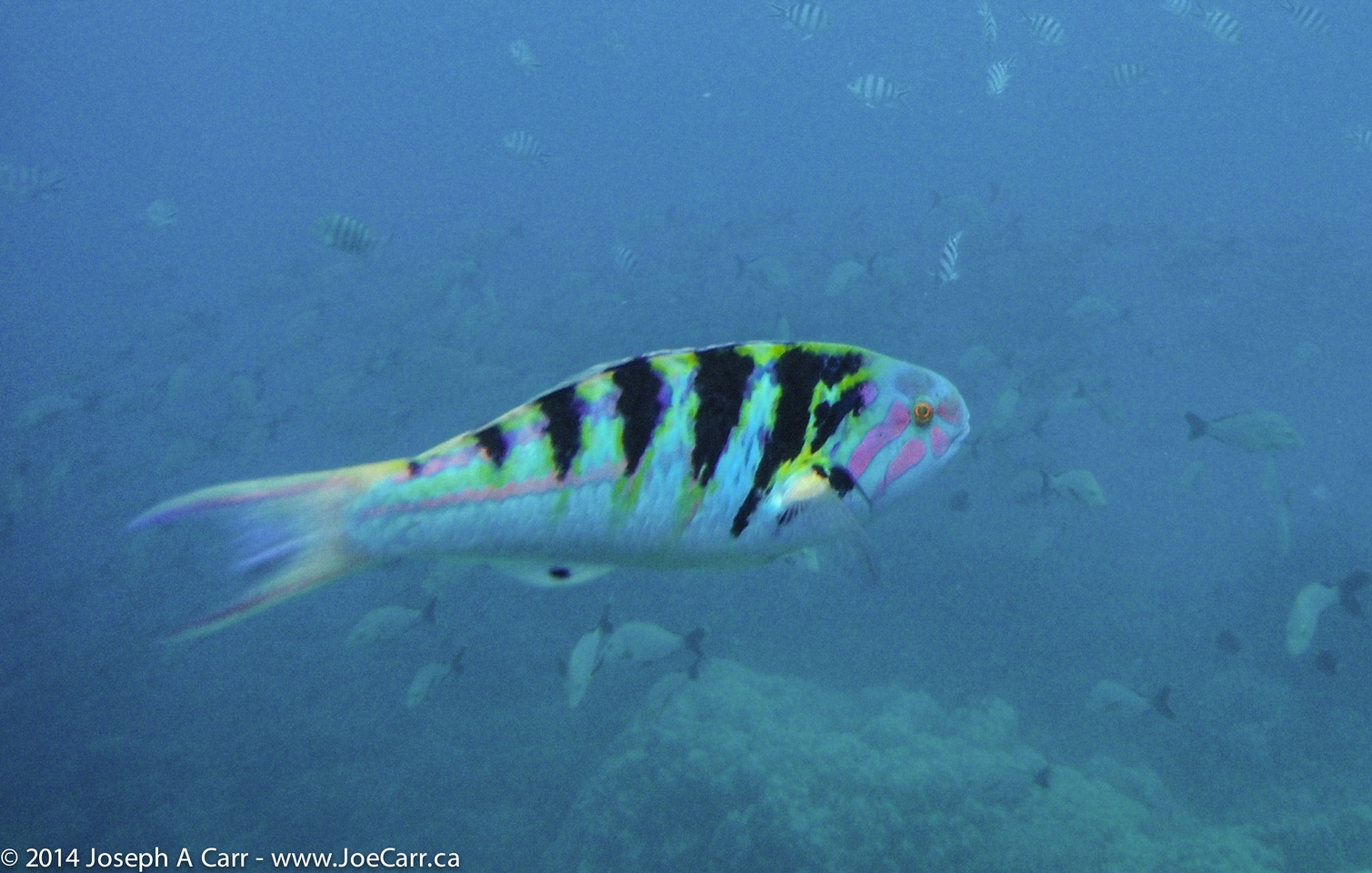
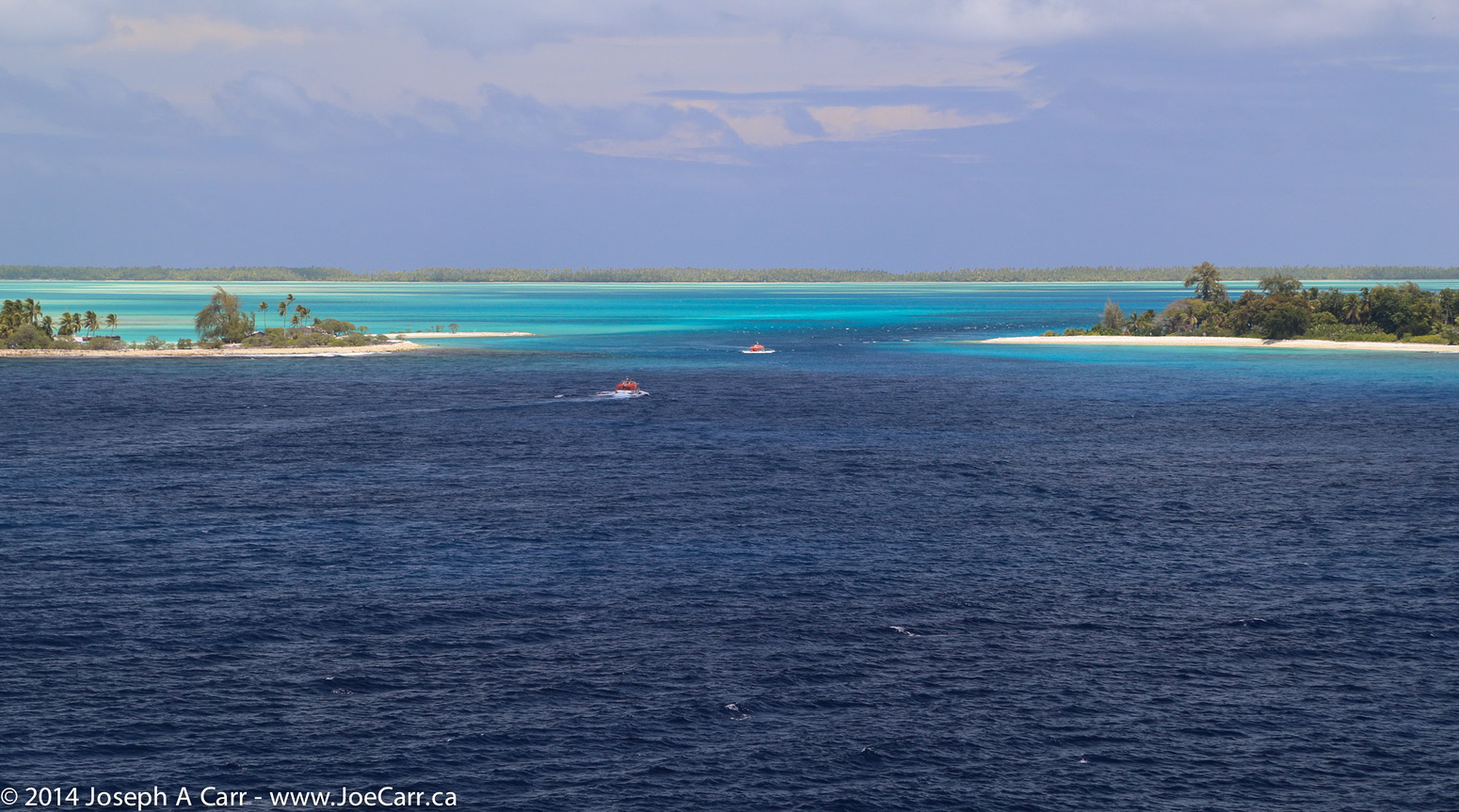
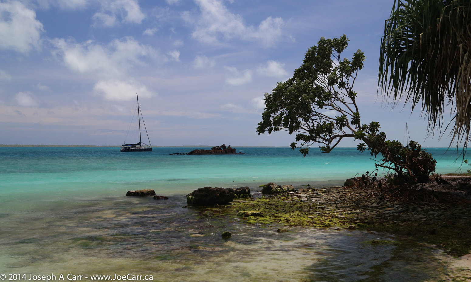
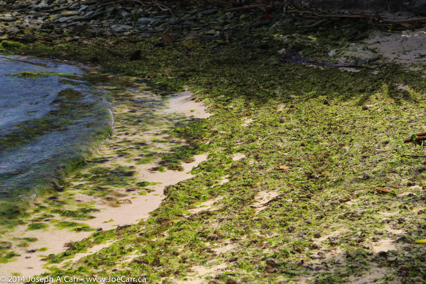
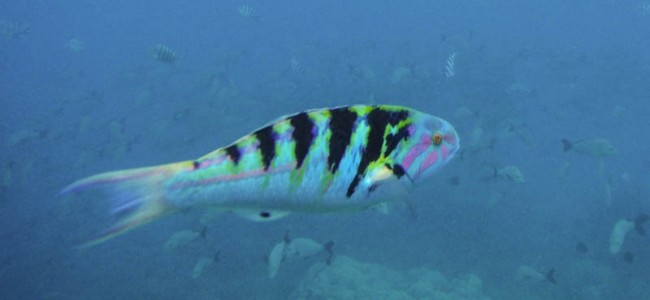
The snorkelling on the one-hour excursion to the little islet in the lagoon is wonderful. The water is clear and about five metres deep, and there are lots of fish, despite the same location being used by a half dozen boats. There are some sharks swimming along the bottom. The coral is in good shape, and there is no current where we are snorkelling. This is my last opportunity to snorkel on this cruise, and it is probably the best experience of them all.

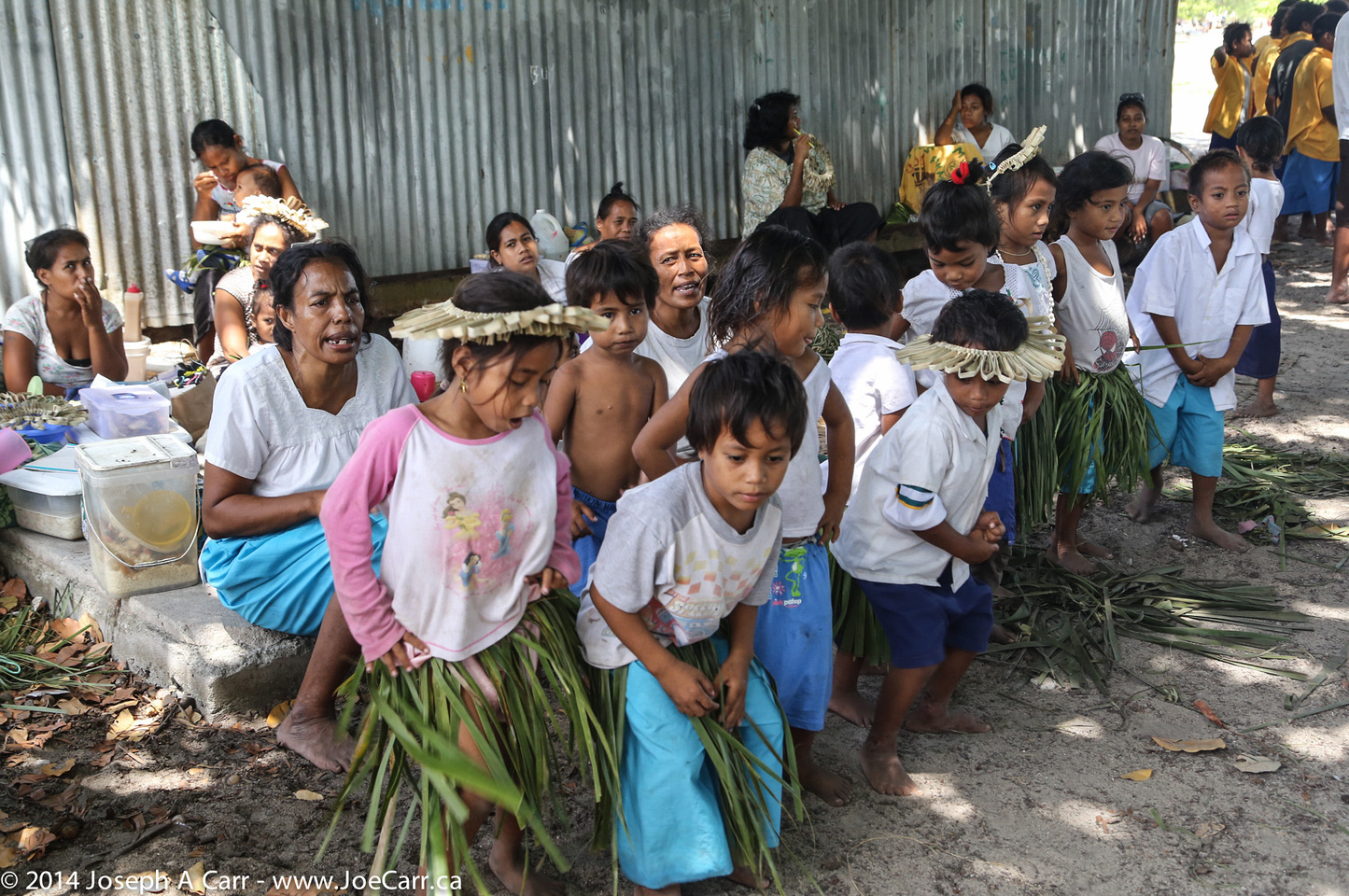
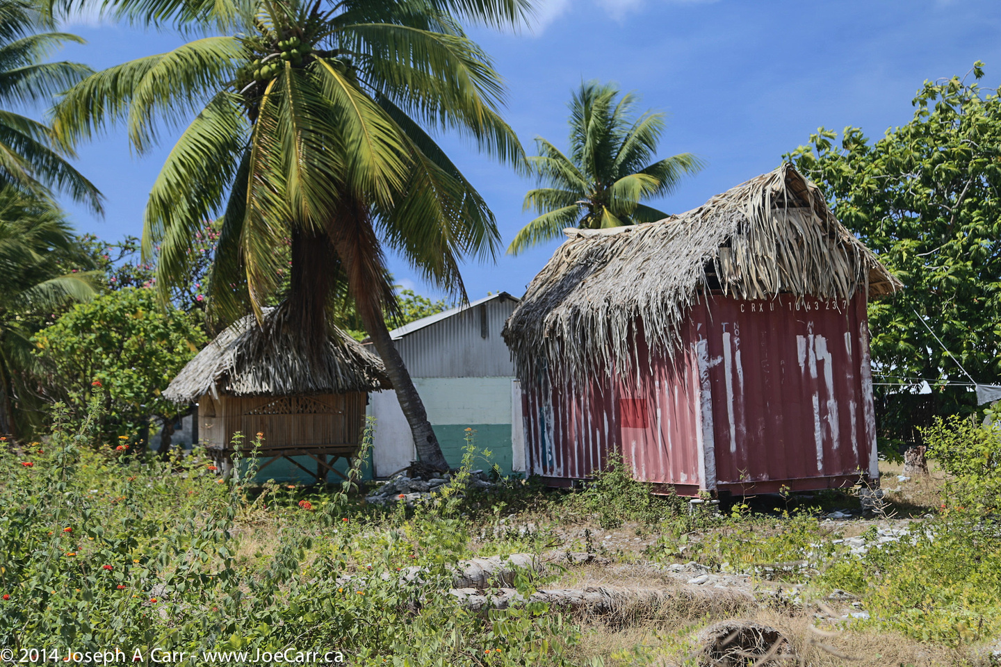
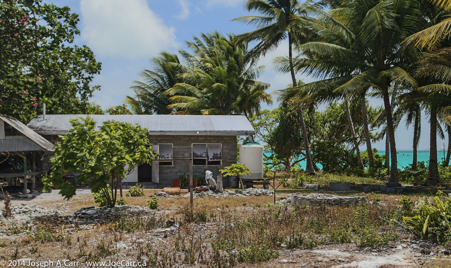
Although we have clear skies while I’m snorkelling, the clouds soon gather in the afternoon, so it is grey but warm at 29℃ and 72% humidity. Although the islanders have power and communications, they must collect rainwater for drinking and washing. Our snorkelling guide tells us they had four days of rain before our ship arrived, which they are very happy about.

Rangiroa satellite image

I grab a late lunch in the Lido and take it down to the Ocean View pool, a deck lower on the stern. As I eat and sip a Beck’s beer in the shade, I gaze at the view inside the lagoon and soak in the heat of the day. This is what cruising is all about!

We leave Rangiroa promptly at 5PM, and clear the narrow channel out into the open ocean by 5:30PM. The pilot departs, and we are on our way to Nuku Hiva in the Marquesas group. We have a day at sea before we arrive, since the Marquesas are a considerable distance away.

post

Fanning Island, Kiribati

2014 Hawai’i-French Polynesia cruise

February 28, 2014 – Friday – Tabuaeran, Fanning Island, Kiribati

Fanning Island Satellite map

We arrive at Fanning Island at 7:30AM. It is 26℃ (79℉), 84% humidity, and a Sea Depth of 2,460 metres just outside the entrance to the atoll. Obviously the ship won’t be anchoring; instead it holds position with engines running until we leave at 2PM. This illustrates just how steep the fall-off is from the shores of this island atoll. The tendering is slow, with a couple of hundred people waiting at any one time from the 8AM start. I wait until mid-morning and then go downstairs to get a tendering ticket. I’m in the tender and on my way within a half hour. It is a long 25-minute ride to the tendering dock ashore.

Fanning Islanders in traditional warrior armour made from coconut husk and shells

The area around the dock is crowded with islanders hawking shell necklaces, singing kids wanting dollar bills to help buy school supplies, and islanders dressed in strange costumes of coconut husk armour (again wanting a dollar or two donation for a photo). There are also a few trucks with seats in the back that take passengers on a drive around the island for $10. The day is beautiful and sunny, but the seas are a bit choppy outside the lagoon. I’m glad I went ashore, even though I returned an hour later after a walk-around.

Typical cinder block house with water tank and out building on Fanning Island

Living conditions are certainly third world. There is debris all over the island, since the islanders seem to have no plan to manage their garbage. They have no running water, collecting rainwater for drinking, dump their sewage in the lagoon, and have no electricity (other than what a few solar panels provide to individual families who can afford them). I don’t see any satellite dishes for TV reception, although there is a radio tower on the island, so I assume they can use radio to communicate with the outside world when needed.

The islanders seem happy, but this place appears to have little going for it. Holland America ships call a half dozen times a year, but otherwise there is no tourism. The islanders fish the lagoon to feed their families, and harvest seaweed for export. Cargo ships must call, since they have canned food, staples, and fuel to run a few trucks and motorcycles on the island.

Ship's position after leaving Fanning Island
Ship’s position after leaving Fanning Island indicating a 40 kt wind

Our ship sails from Fanning Island a bit after 2PM, so it is more-or-less on time, although I don’t think it matters much since our next port-of-call is Bora Bora, where we have an overnight stay before moving on. It will take us two days to get there, and the captain says we have to average 18 knots. There is no bad weather forecast, so we should arrive on time.

For the first time on this cruise we have a strong wind to contend with. We are currently steering a SE course, and we have a 40-knot easterly wind buffeting the ship. I have to give up my star gazing from Deck 14 Sky Deck because I am being literally blown off my feet, despite the tantalizingly dark skies above! Needless to say, holding binoculars still to observe with is virtually impossible, despite having a Plexiglas shield surrounding this deck forward.