post

Noumea, New Caledonia – 2012

November 15, 2012 – Thursday – Noumea, New Caledonia

View of the lagoon from Amédée Lighthouse, Noumea, New Caledonia

2012 Total Solar Eclipse cruise

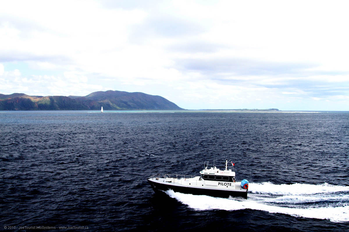
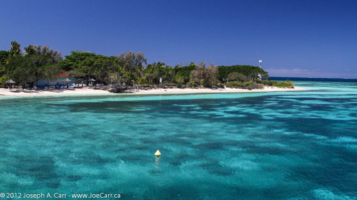
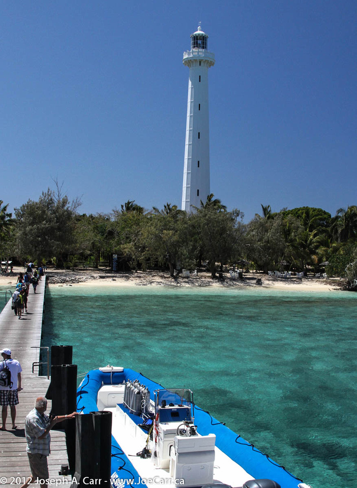
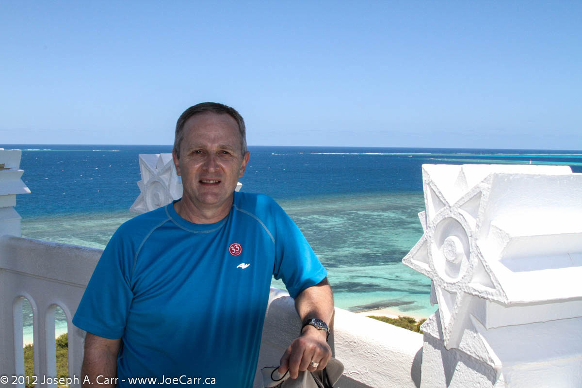
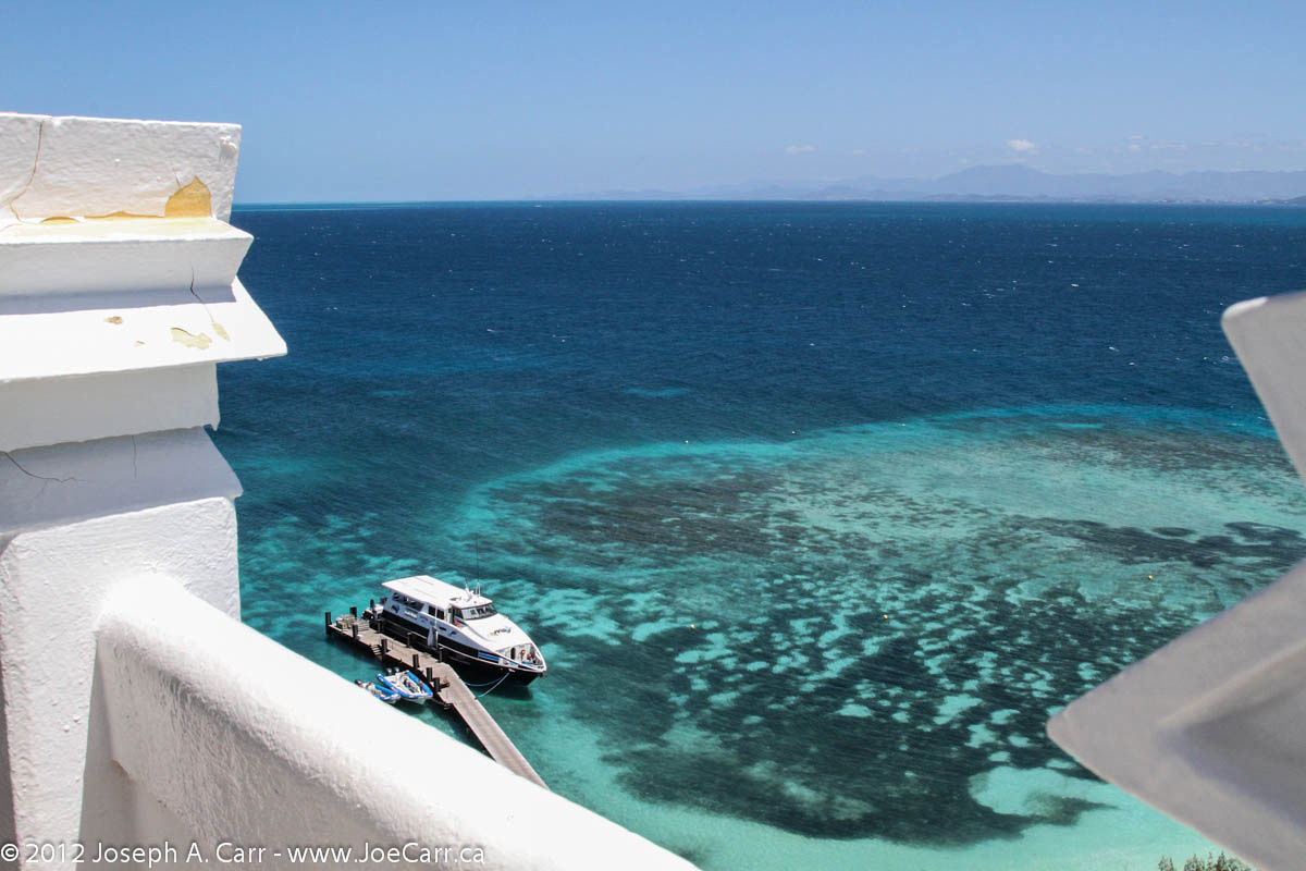
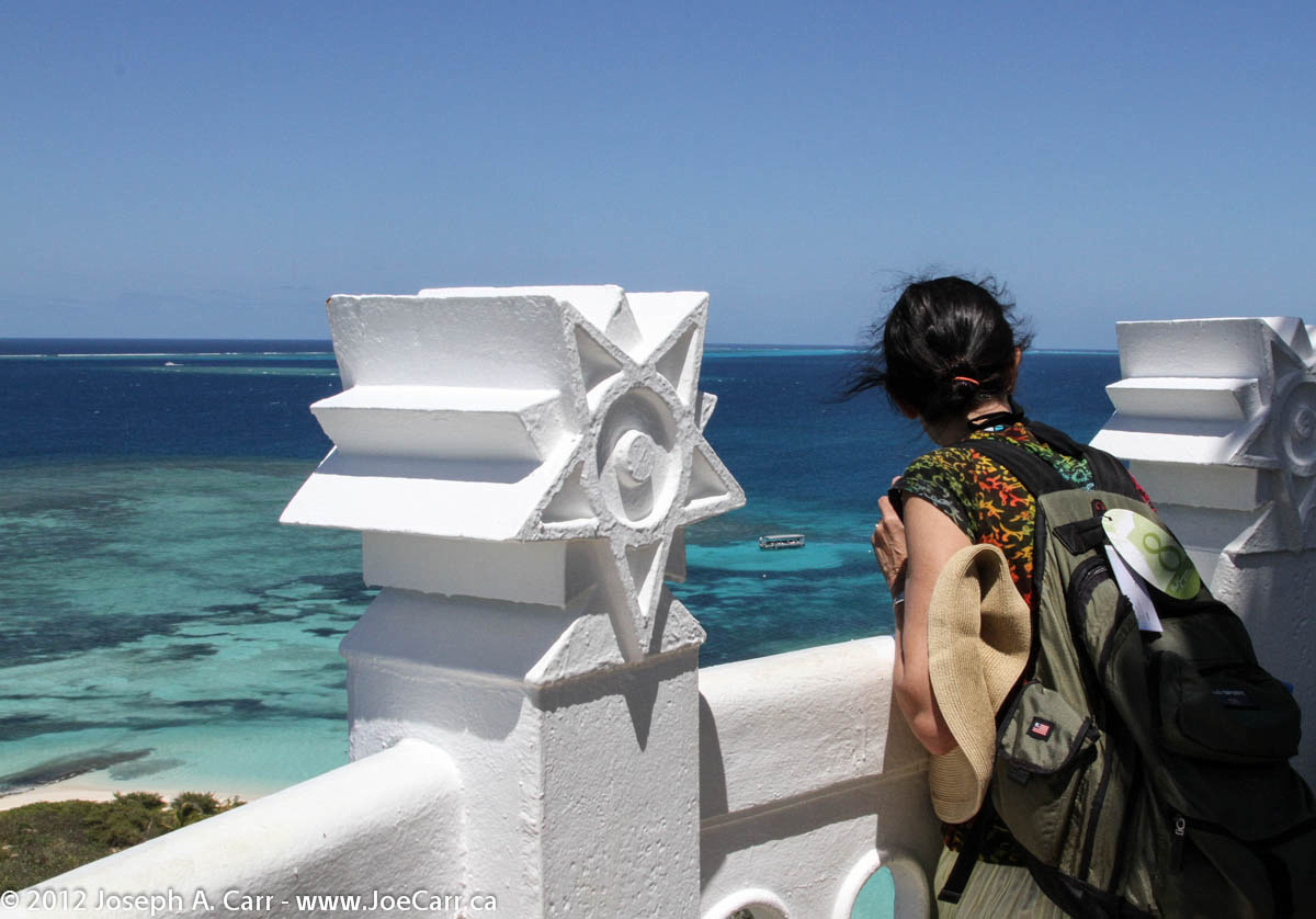
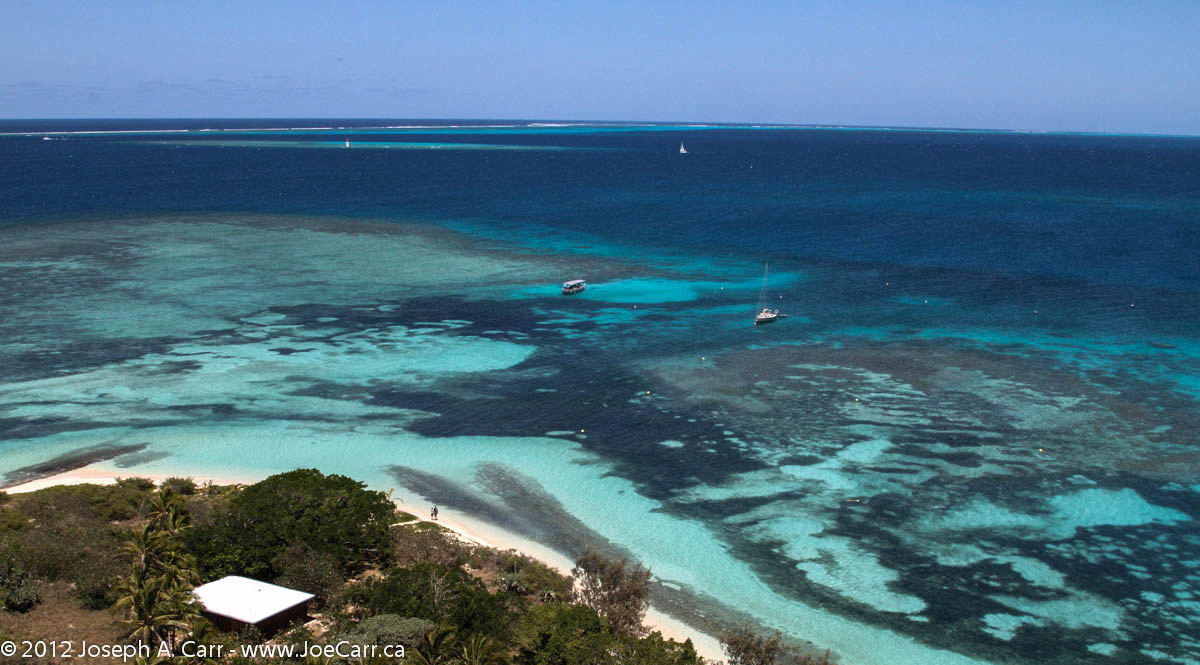
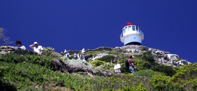
I depart on an all-day tour to Amédée Lighthouse, which is located on an island by the same name offshore from Noumea. This was not the tour I wanted, but it was the only one available which offered some snorkelling, after I boarded the ship a few days ago. We are taken to the boat basin, where we are joined by passengers from the P&O Pacific Jewel. Needless to say, there are lots of people on this large excursion boat, the Mary-D. The passengers from the P&O ship are mainly Australians, and many are families with young children. This is not my ideal tour, since it is quite noisy!

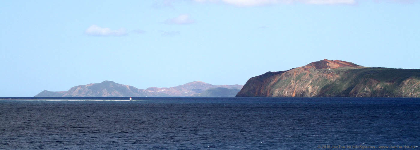
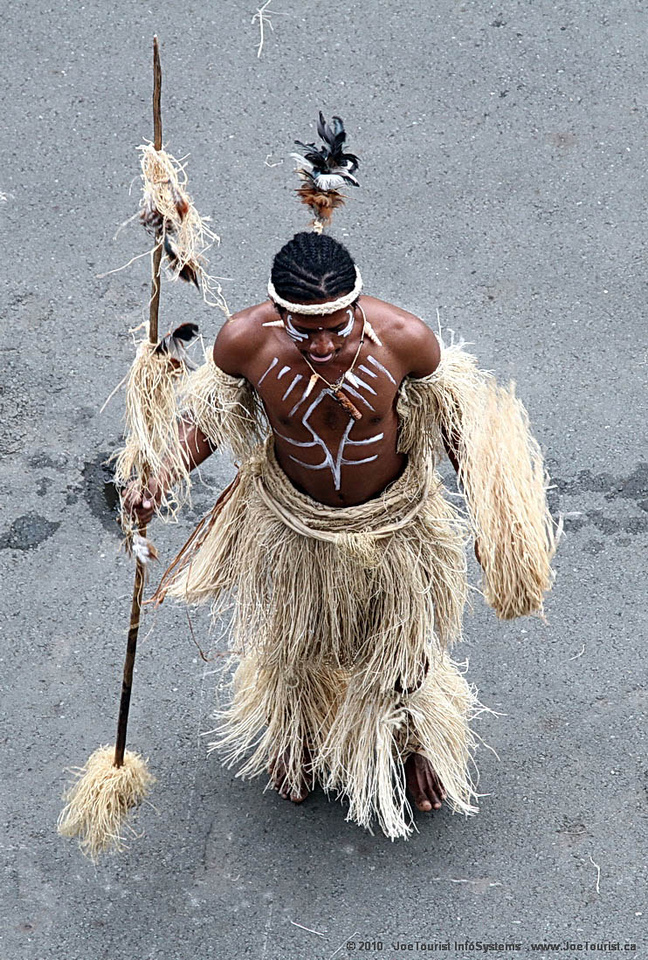
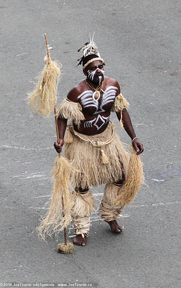
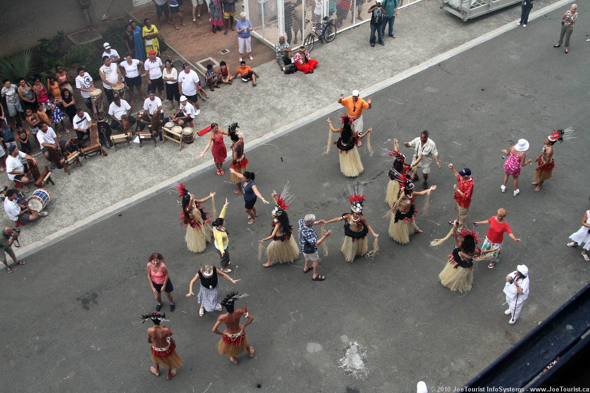
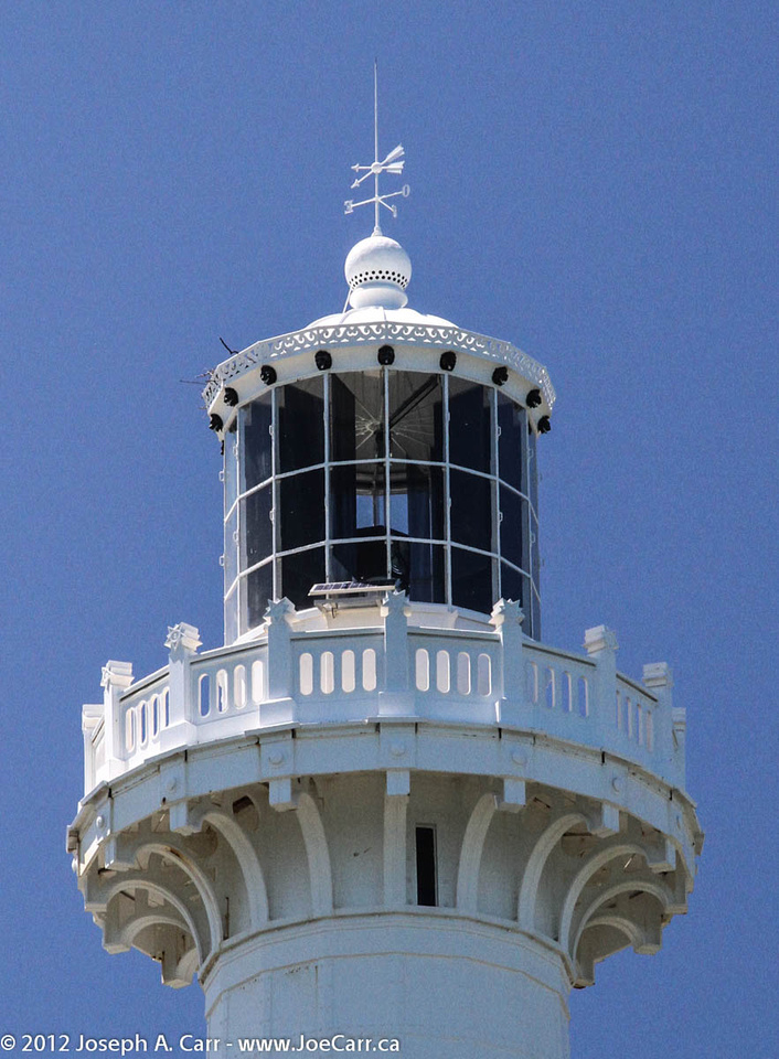
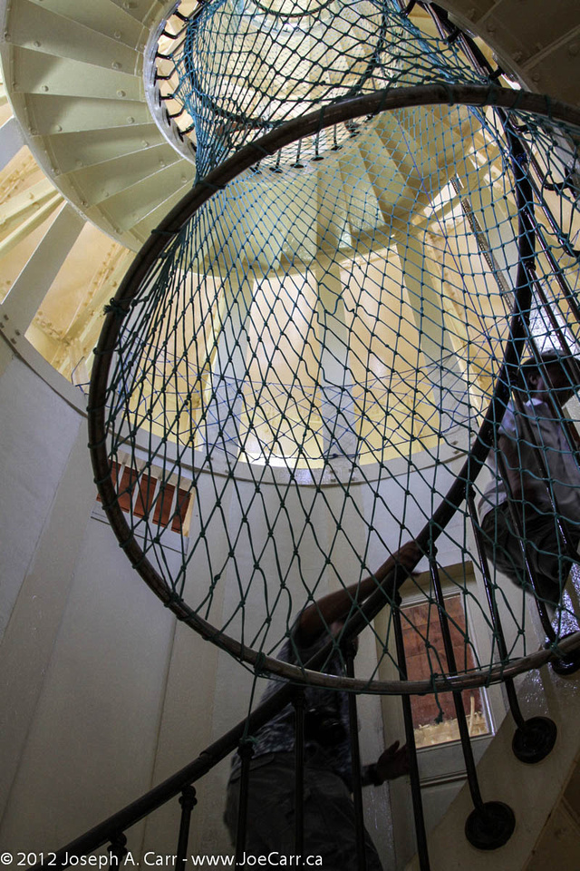
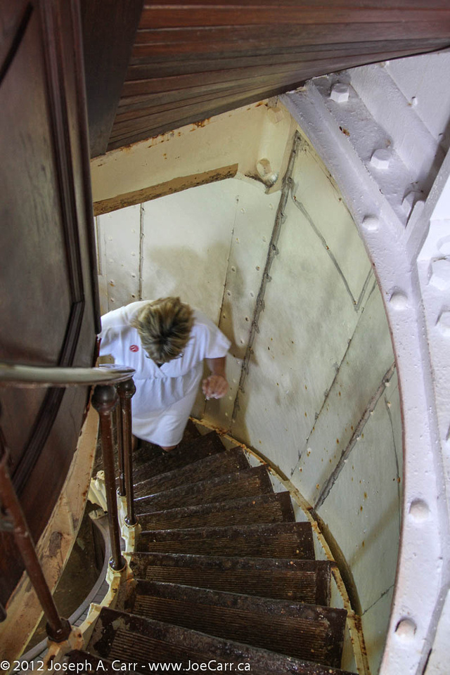
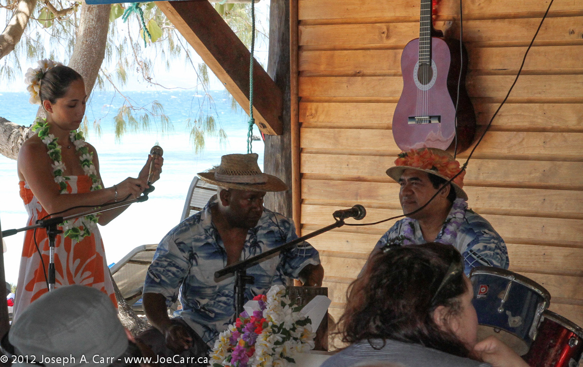
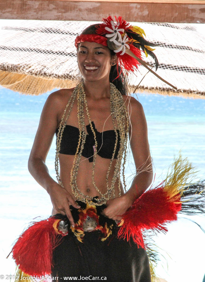
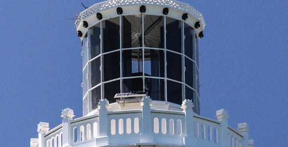
Despite that, the tour was well done. The lighthouse on the island is made of metal, and was shipped prefabricated from France in 1862. We had a superb lunch with wine and punch included, and with entertainment from a singing and dancing troupe. I enjoyed the lovely (alcoholic) fruit punch, along with the BBQ pork and seafood, and lots of salads and pasta dishes.

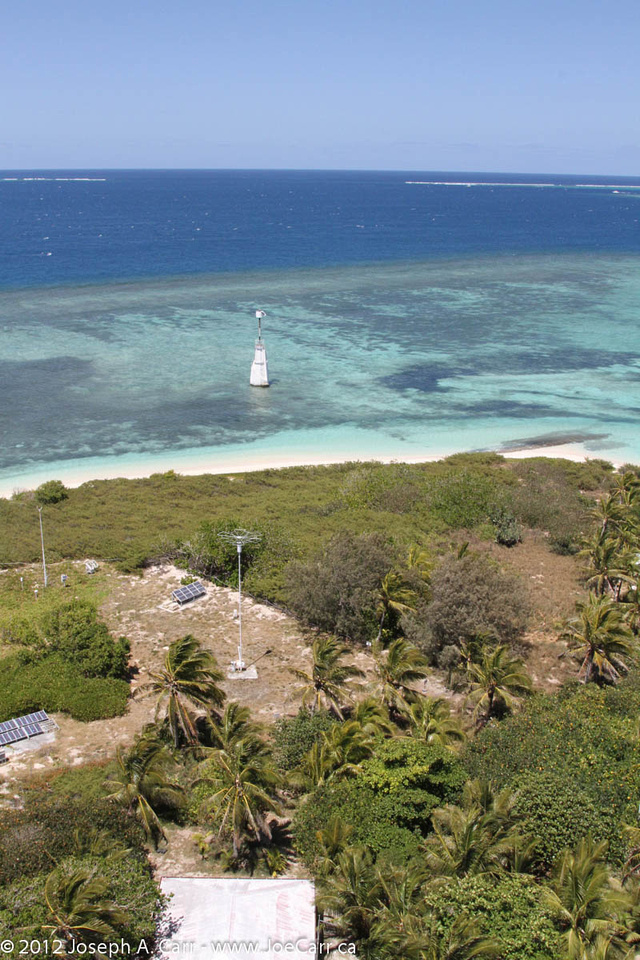
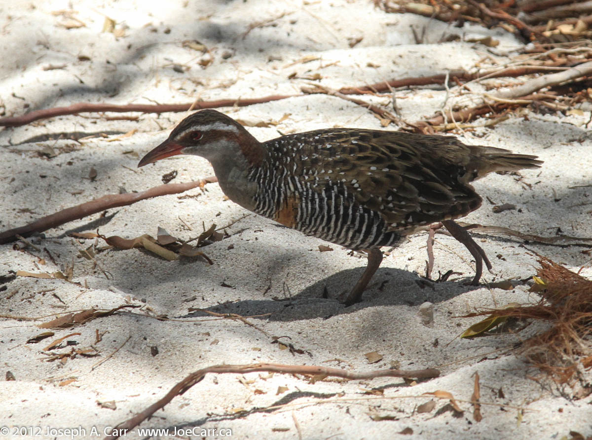
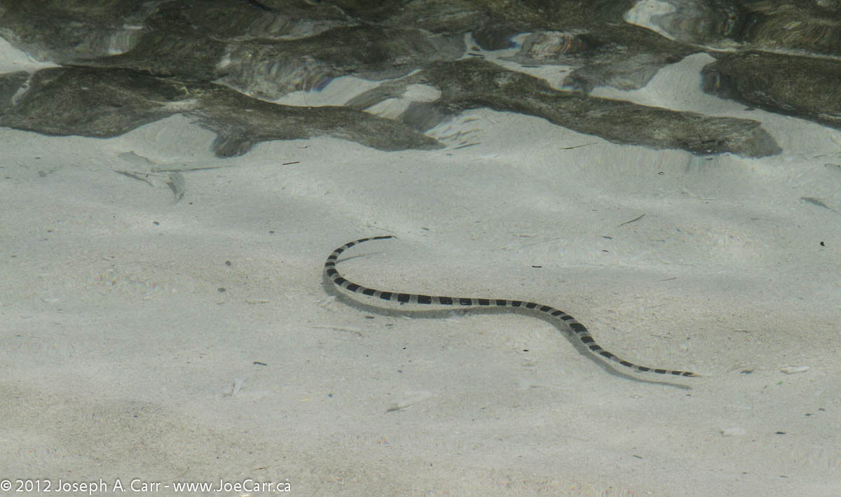
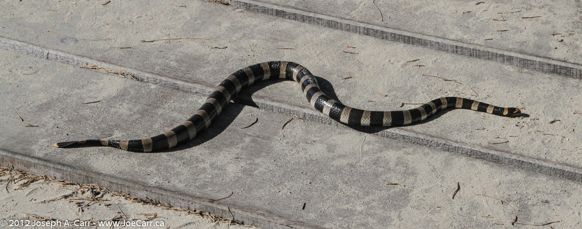
The only real disappointment is the snorkelling in the lagoon on one side of the island. I snorkel after lunch and find the reef is totally dead, although there are a few fish swimming around, and the Striped Sea Snake (poisonous) also makes an appearance! They also offer glass-bottomed boat rides and rides out to the edge of the reef, but I don’t bother with those excursions. After snorkelling, I prefer to just sit under a shade tree.

I learn from the Pacific Jewel passengers that on eclipse day their ship missed being on position on the Line of Totality. Apparently about 600 passengers had booked their cruise predicated on that happening, although there was also a large group of passengers who didn’t care one way or the other. That would be totally devastating for those who expected to observe Totality, but didn’t get the chance. Apparently the ship left port a bit late, and encountered strong headwinds, and couldn’t get to the position in time.

post

Cape Peninsula

November 8, 2008 – Saturday – Cape Peninsula Tour, Western Cape, South Africa

Southern Africa 2008

JoeTourist: Cape Peninsula &emdash; Cape Fur Seals on Duiker Island
Cape Fur Seals on Duiker Island

As we leave Cape Town, we drive past millionaire’s paradise: Camps Bay, Clifton Beach, and Llandudno. We stop at Hout Bay and take the boat tour to see the Cape Fur Seals on Duiker Island (60 Rand, US$7 each). There is a five man band serenading us as we disembark. Since Chapman’s Peak Drive is closed due to slides, we drive through Constantia and go past the prison where Nelson Mandela was held while he was treated for TB.

We then loop back to the outer coast and see parasail surfers at Witsand Bay before entering the Cape of Good Hope Preserve. Our driver spots 12 Eland and 6 Bontebok, and some wild Ostrich. The Cape of Good Hope is the most southwesterly point of land in Africa, and certainly qualifies as a landmark. It is madness as tour buses arrive and everyone scrambles to get their photo taken. I manage to get my photo taken before the crowd gets in there!

Cape Peninsula shoreline - Sea Point, Bantry Bay and Camp's Bay
Cape Peninsula shoreline at False Bay – used with permission from Emile Grundlingh

Cape Point is at the end of the peninsula, and has both the original lighthouse (decommissioned after the Portuguese liner Lusitania was lost on the rocks) and the new lighthouse (located lower down so it’s not obscured by fog). I hike up the very steep trail to the top of Cape Point where the old lighthouse is located (see banner image above). There is also a funicular railway running to the top. Our guide called ahead and reserved a table for us in the restaurant at Cape Point – a very busy place!

JoeTourist: Cape Peninsula &emdash; African Penguins at the Boulders Penguin Colony
African Penguins at the Boulders

After lunch, we drive back along False Bay, stopping at a very nice public campground and picnic area. Next stop is the African Penguin colony at The Boulders, where we nearly get blown to bits by flying sand and strong winds. As we drive through Simon’s Town, our guide points out the shark warning system that is in place for this strikingly beautiful beach area.

As we return to Cape Town, our guide talks about the apartheid years and how Cape Town was segregated. He is of Indian descent, and describes how his family was forced to move several times during that dark period of South Africa’s history.

North Coast of Kaua’i, Hawaii

January 17, 2001 – North Coast of Kaua’i

Kilauea Point, Kaua'i
Kilauea Point, Kaua’i

Kilauea Point National Wildlife Refuge, is north of Kapa’a on the Kuhio Highway. Watch for the signs and turn right to get to Kilauea Point and the little community. There is no entrance fee, but please drop a donation in the boxes provided. The lighthouse grounds can be home to wildlife. We found an Albatross on a nest, and the nearby cliffs are covered with nesting Shearwaters, Red Boobys, and Laysan Albatrosses. Kilauea Point is the most northerly point on Kaua’i, and Kaua’i is the most northerly of the Hawaiian Islands, so I assume this why the birds find this a good location for nesting. I also spotted a flock of about 6 Nene Geese (native Hawaiian goose).

When the Trade Winds are high, this area around Kilauea Point experiences huge surf, causing some spectacular wave action. Moku ‘Ae’ae Islet and blowhole is a sight to see just off Kilauea Point. There is a small community at the turnoff to Kilauea Point, and I would recommend Kong Lung – a funky store filled with unusual gifts some might be interested in. I also recommend the Lighthouse Bistro for lunch or dinner (located beside Kong Lung). You can’t go wrong ordering their fresh fish of the day. Very good food – highly recommended.

Just past Kilauea Point is Anini Beach County Park. This is a good spot for a picnic lunch, and the fantastic white sand beach is rarely crowded. Anini Beach would make an ideal destination for a whole day’s outing, since it one of the safest for swimming (not too common on Kaua’i due to the offshore reef and strong currents), and it has good picnic facilities. Another good beach just past Kikauea Point is Kalihiwi Bay. As you can see by the photos, the surf was up while I was visiting in January 2001, so no swimming was possible. The surfers were certainly out there riding the waves, although the emergency rescue was called while I was there, so it was even a bit too rough for some of the surfers!

Princeville is the next community along the North Coast. It is one of those planned communities, which are so common in Hawaii. Everything revolves around the superb golf courses, and yet I find all of them so sterile and cold. No doubt the exclusive properties are very expensive to purchase, and yet they hold no appeal to me whatsoever.

Hanalei Valley
Hanalei Valley

Past Princeville is the Hanalei Valley, which is very picturesque. Hanalei is a small community located on a superb little bay with the same name. The valley is rich and fertile, and many crops are grown here, including lots of taro. Needless to say, there is a great deal of rainfall in this area. Hanalei Bay can experience spectacular surf when the winds are high. If you rent a kayak, stick to the inland waterways.

Ha’ena Beach (aka Tunnels Beach) is normally calm and is a good beach for swimming and snorkelling, but as you can see by my photos, the surf can get very high. Ke’e Beach is much smaller than Tunnel Beach, but it is the end of the north shore road. While you are there, have a look at the Waikanaloa Wet Cave.

Near the end of the North Shore road is the Limahuli Gardens, but they deserve their own article!