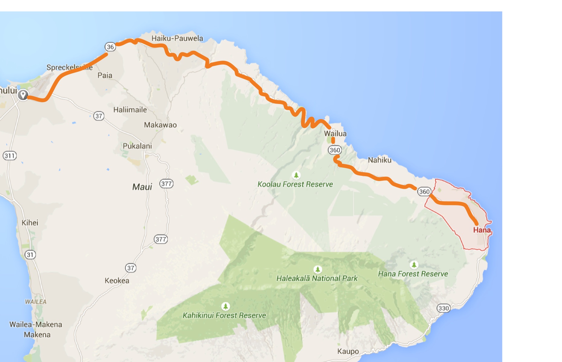
Nov 27, 1995 – The Road to Hana, Maui, Hawaii
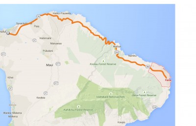
Road to Hana map
My friends and I drive our rental car north from Kihei, around the outskirts of Kahalui, and then southward on the northeast coast of Maui to the little town of Hana. This all-day drive is legendary, mainly because the paved two lane road twists and turns along the scenic coastline. This is also the wet side of the island of Maui, so be prepared if you decide to do this drive.
NOTE – If you plan to use the guide below, the intersection of Dairy Road and the Hana Highway is mile number zero. Each paragraph below displays the mileage number in bold at the start of the narrative. Watch for the highway markers along the way, since they are keyed to these same distances.
Before you leave for this driving tour (or preferably before you leave home), download an audio driving tour of the Road to Hana. Search for “Hana Highway audio tour” on your favourite media site. Many of these tour products are actually apps that run on your smartphone, and include more than just narration. Features such as: GPS location, maps, photos, and nice music are often included. All are modestly priced at $5-$10.
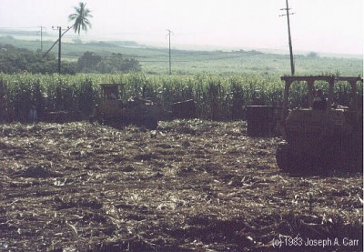
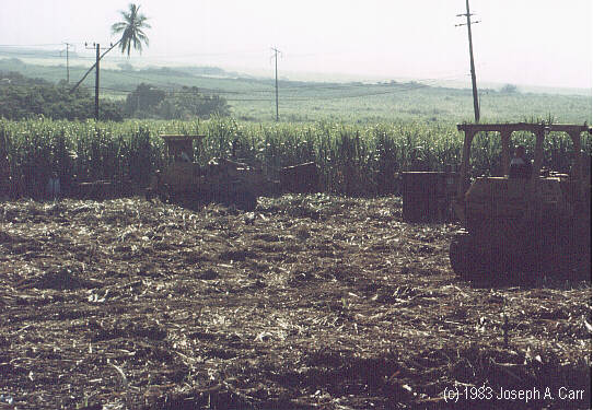
Workers in the fields cutting cane by hand in 1983
3.0 – Sugar cane fields have been a part of the Maui landscape since the 1860’s, when a market was found for sugar in the California Gold Rush. Maui currently has approximately 50,000 acres of sugar cane under cultivation. Sugar mills still operate here, in the midst of the swaying sugar cane fields. When the cane fields are ready to be harvested, they are set ablaze in order to get rid of most of the foliage, since the sugar is in the stalk. The sugar mill processes the cane into molasses, which is then trucked to Kahalui harbour, where it is shipped to the mainland for further processing.
5.0 – Paia is a plantation town, and is the first town encountered when heading west from Kahalui. Windsurfers are now becoming the main industry for this former sugar town, since the north shores of Maui in this area offers superb onshore winds. This is your last chance to fill up with gas. If the Paia gas stations are closed, return to Kahalui to gas up before proceed further. You have over 100 miles (return trip) of highway ahead of you!
8.0 – Hookipa Beach is a mecca for surfing and wind surfers. Surfing is said to have been invented by the ancient Hawaiians. Mama’s Fishouse is located near here, and serves some of the best seafood to be found on the islands. Expensive, but recommended.
9.4 – Waikamoi Ridge trail is a short walk through the lush forest.
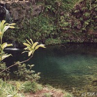
9.8 – Waikamoi Ridge pool and bridge is a good place to have a swim in a tropical pool.
11.0 – Puohokamoa Falls waterfall and pool.
12.0 – Kaumahina State Wayside Park – restrooms and rubbish bins. Good view of coast, and Honomanu Bay. Pandanus grows here, and is used for baskets and mats, and was used for clothing by the ancient Hawaiians.
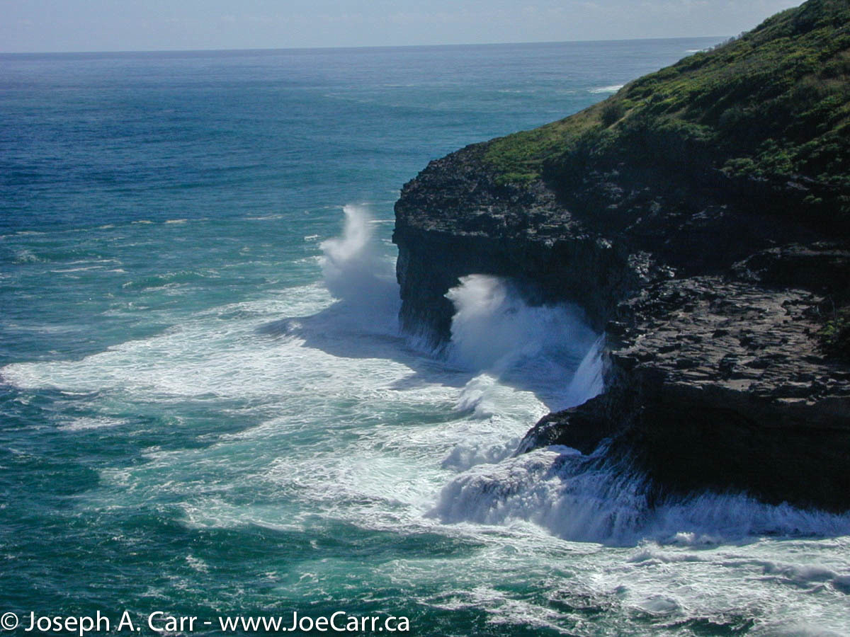
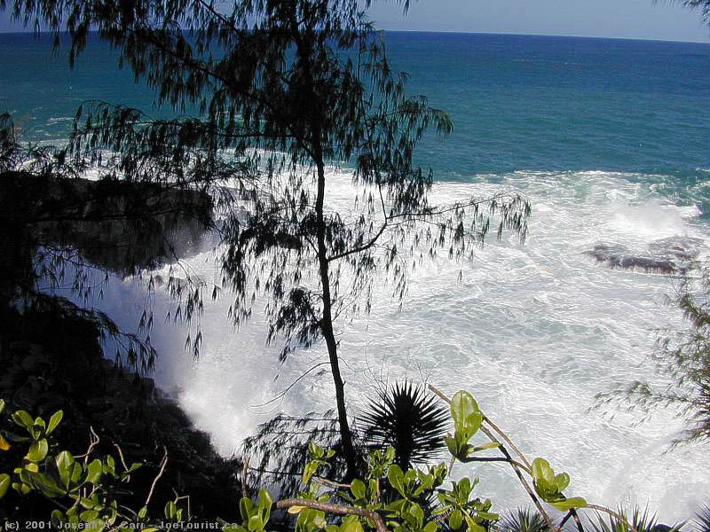
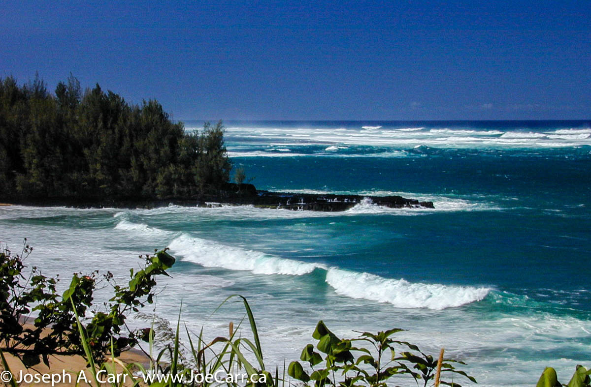
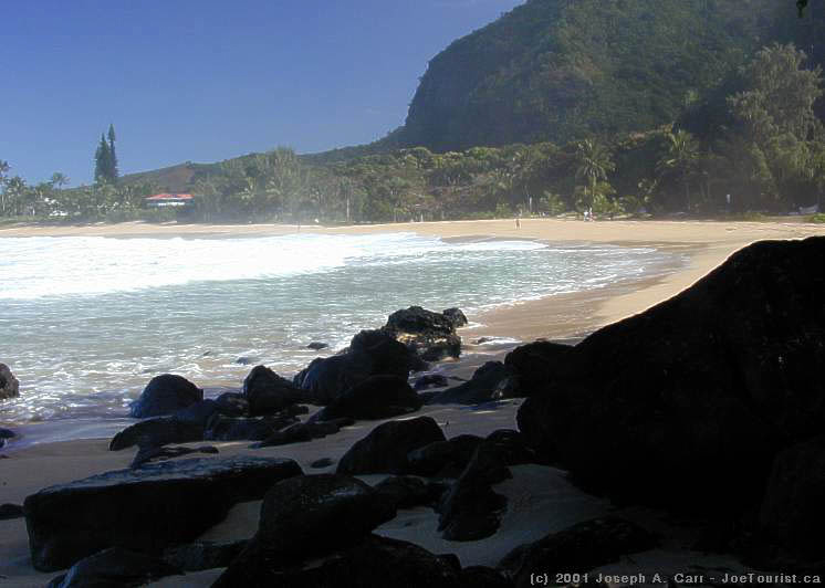
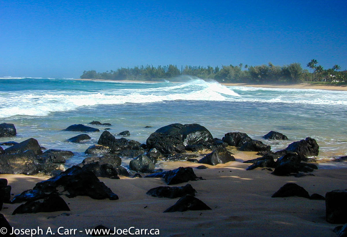
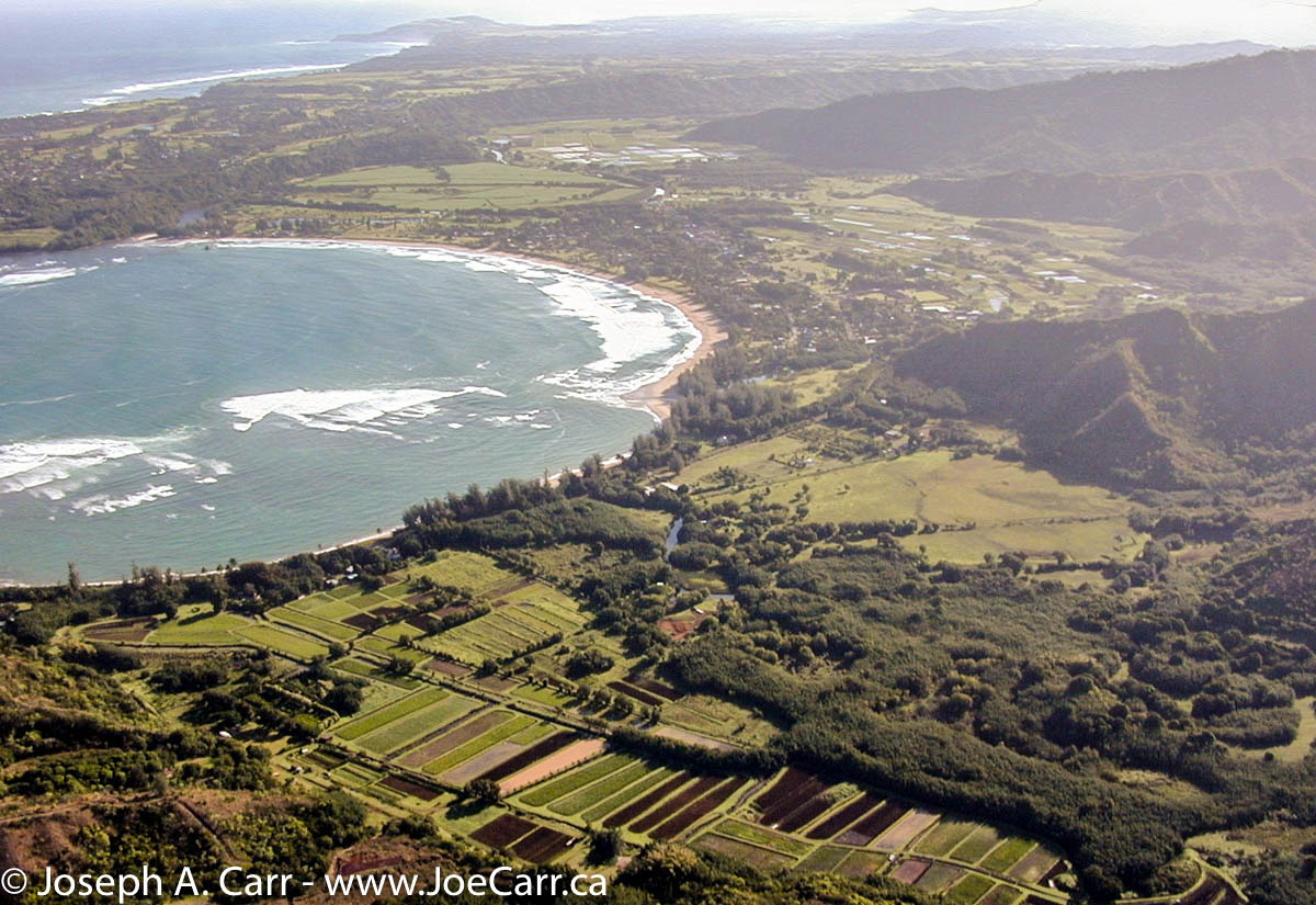
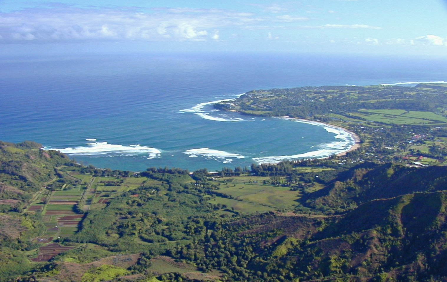
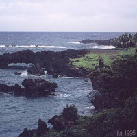
12.3 – Honomanu Bay “The Bay of Sharks” – there are 1,000 foot waterfalls above the bay. Not suitable for swimming. The road starts to narrow at this point. Please beware of large trucks. Wait until you are almost past the bay, where there are some good pulloffs for viewing.
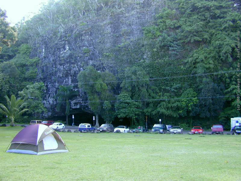
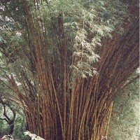
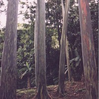
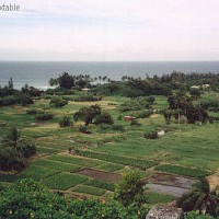
15.7 – Keanae Arboretum – giant bamboo, and many other native flowers and trees are easy to see. You will spot gum trees, impatiens, and many more plants as you take this gentle walk through the grounds. A camera is a must. After seeing the arboretum, carry on down the highway a short distance, and take the road to the left leading down to the Keanae Peninsula. The Ihiihiolehowao na Kaua Church (built in 1860 of lava rock) is worth seeing, as is the rugged black lava rock shoreline and pounding turquoise water. Turn left back onto the highway, to continue your journey.
NOTE – at mile marker 16, the highway number changes from from 36 to 360, and the mile markers start over at zero.
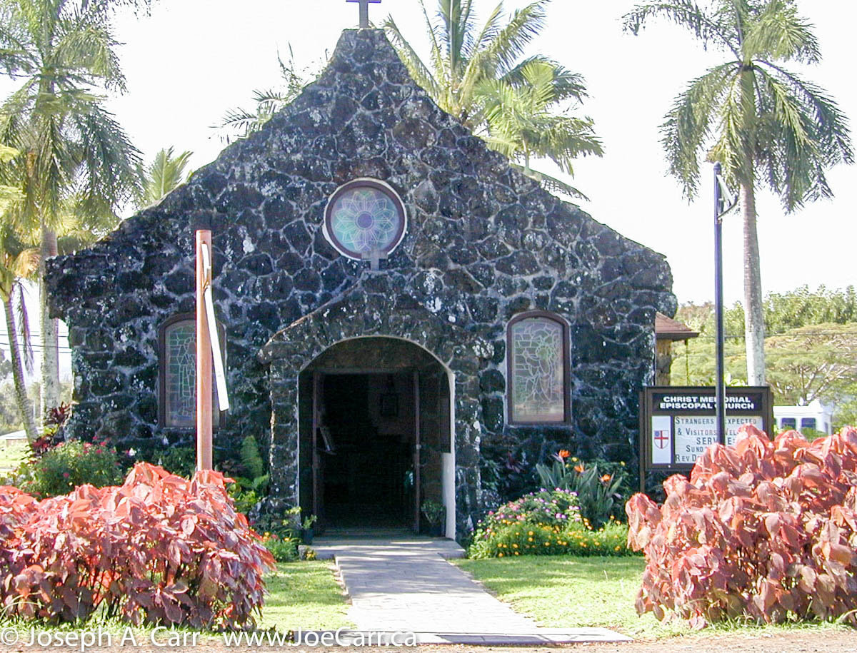
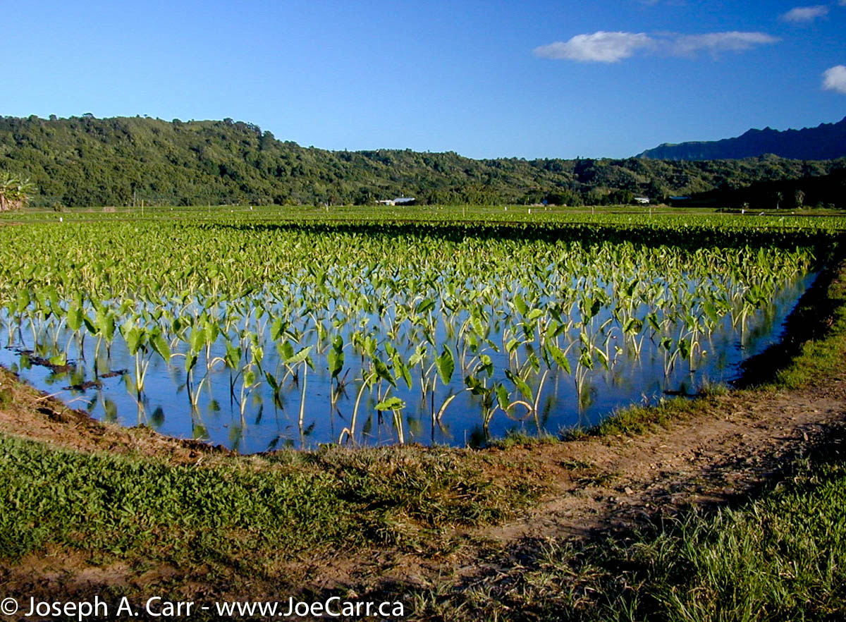
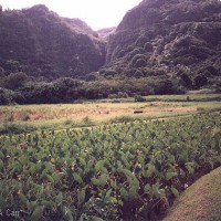
18.2 – Turn left into the village of Wailua, where you will find 100 year old St. Gabriel’s Church. Drive down the road further until you see the “Dead End” sign, and turn right. Drive for a short distance on this private road to see the lush taro fields, cattle, and beautiful Waikani Falls in the background to the southwest. When coming out of this road, do not turn right (dead-end)! Turn left, back to the highway.
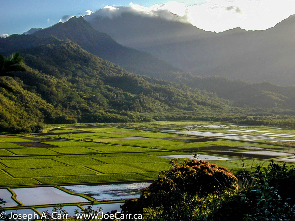
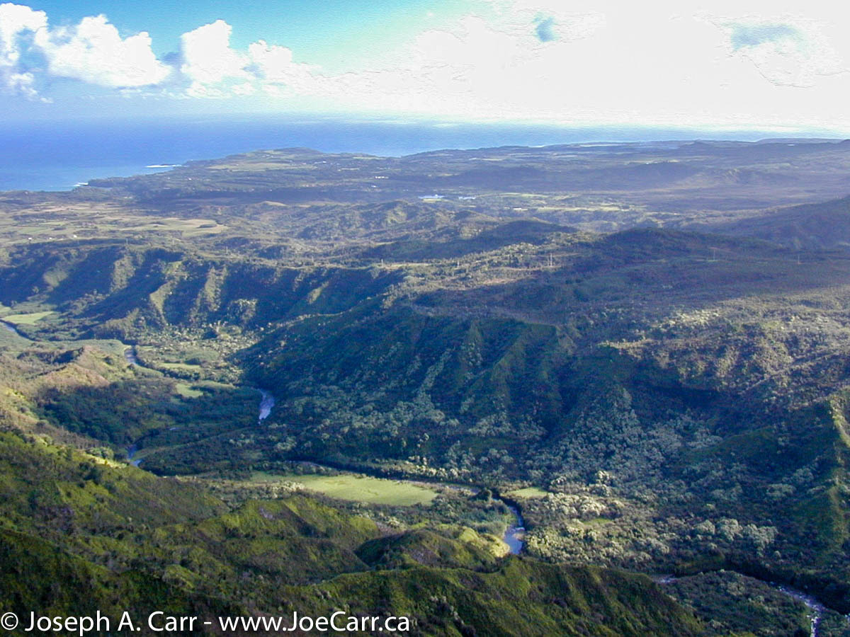
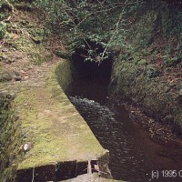
22.4 – Puaakaa State Park – beautiful tropical pools, trails, etc. The most rainfall occurs on this part of the Hana coast – up to 365 inches of rain per year. Have a look at the water viaduct, which were built near the turn of the century by Chinese labourers. These viaducts and irrigation ditches are managed by the East Maui Water Company, which supplies water from this “wet” side of Maui to the sugar cane and pineapple fields on the drier side of the island, in the valley where the city of Kahalui is found.
25.1 – Nahiku – there are many fruit and flower stands between here and Hana. Why not stop and sample?
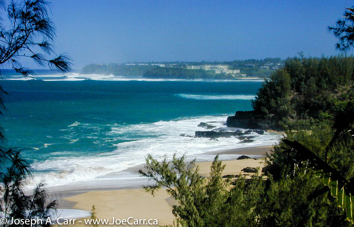
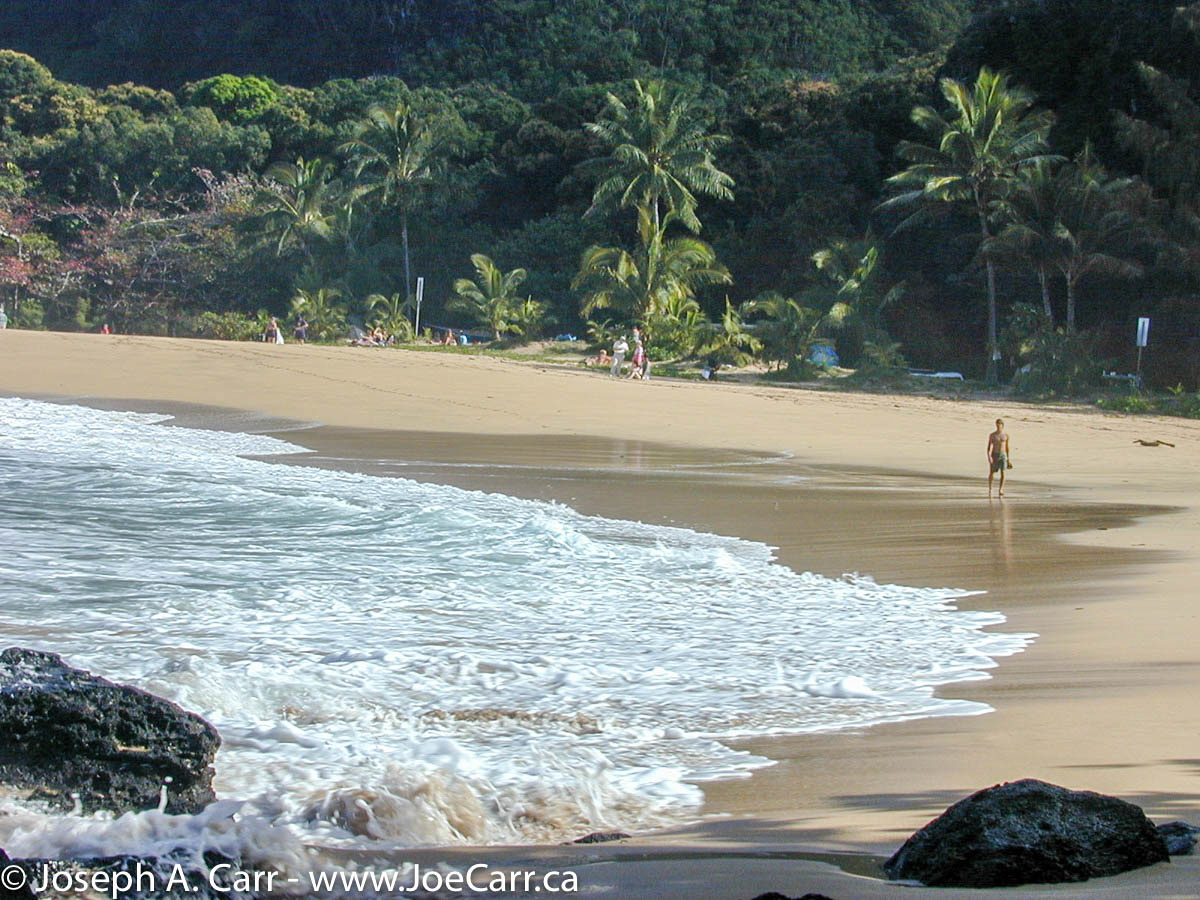
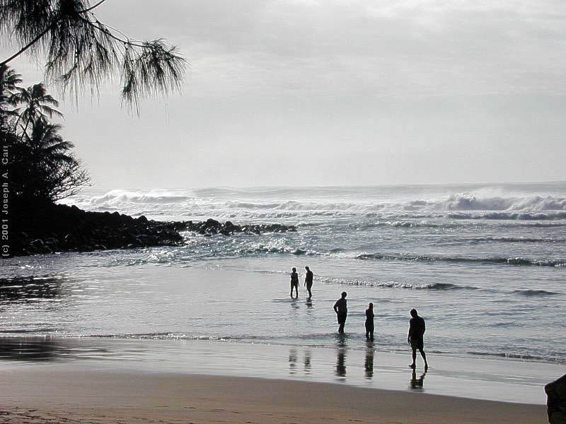
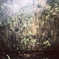
32.0 – Waianapanapa State Park, just past Hana airport. Say awhile, and walk around this interesting park. The shoreline has some spectacular natural arches, blowholes, grottos, and of course, the vivid turquoise water. A beautiful black sand beach is an easy walk down the trail to the shore. Turn left back onto the Hana Highway – you are almost at Hana!
33.4 – Hana – “land of the low-lying sky”. Isolation ensures that Hana is mostly unchanged. Once you get to the Y intersection (where the police station is located), first take the lower road to Hana Bay. Snack Bar, pier, and Kauiki Hill – a site of many battles. Turn left after leaving the bay. The town of Hana has one hotel (the Hana Maui Hotel), several churches and two stores.
The road between Keanae and Hana was built of stone in 1927, and was paved in 1962. The Hana Highway has 56 bridges, and over 600 curves!
Unless you simply must see Oheo Gulch, I would recommend turning back after seeing Hana.
-
-
Giant bamboo at the Keanae Arboretum
-
-
Gum trees at the Keanae Arboretum
-
-
Keanae Peninsula
-
-
Lush taro fields, cattle, and view of beautiful Waikani Falls from Wailua
-
-
Beautiful tropical pools at Puaakaa State Park
-
-
Water viaduct
-
-
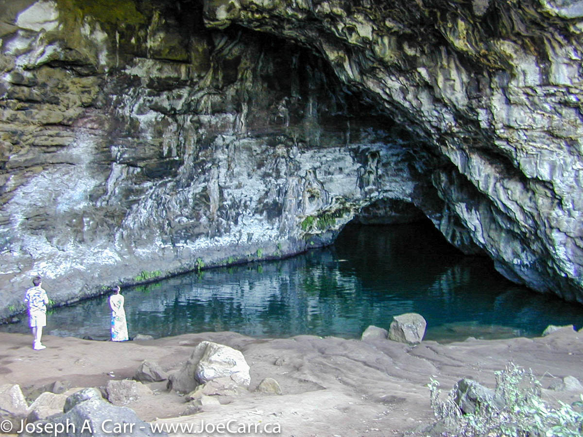
Grotto at Waianapanapa State Park
-
-
Spectacular natural arches along the shoreline near Waianapanapa State Park
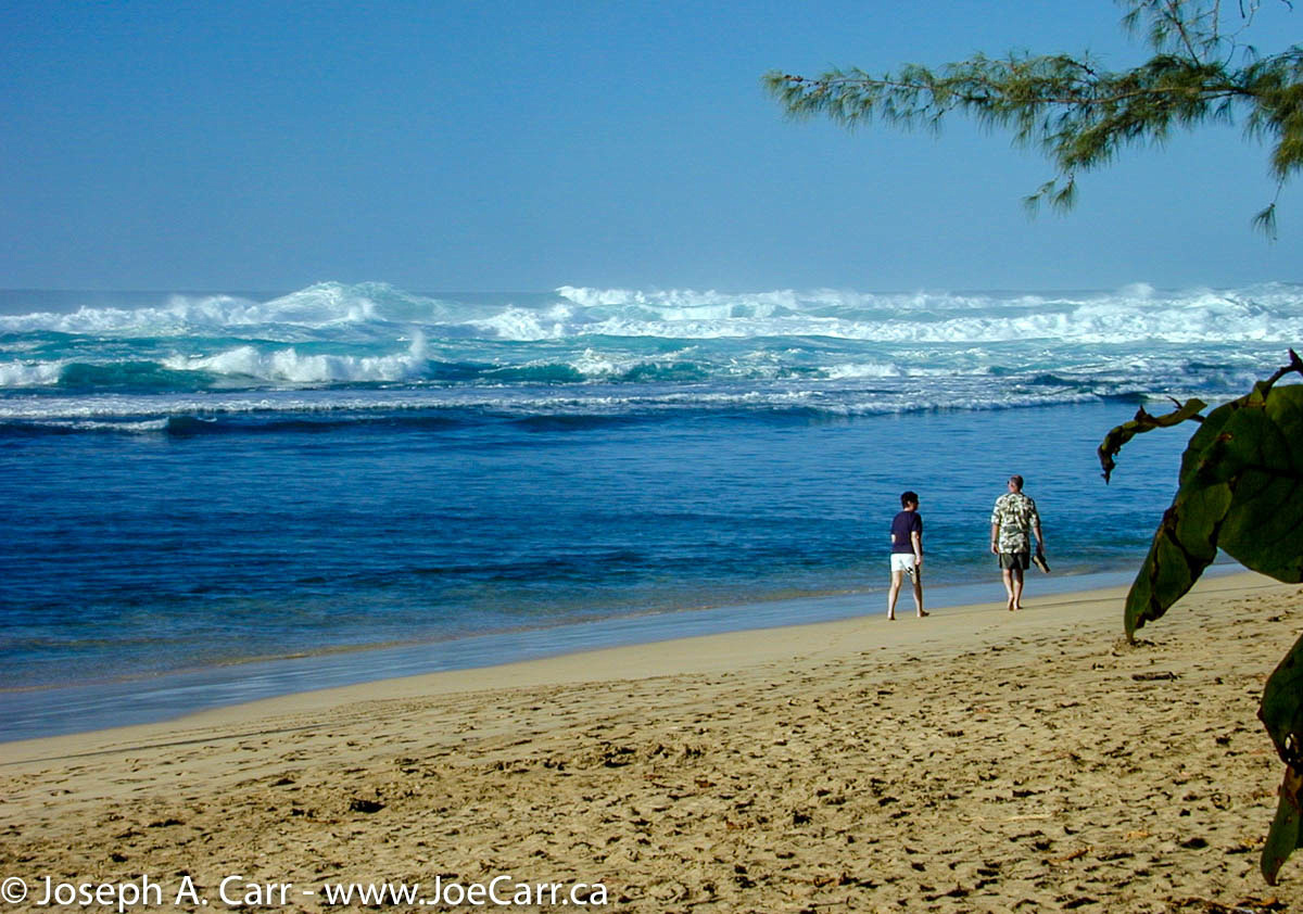
51.7 – Koki Beach and Hamoa Beach – Alau Island is just offshore, and is a very picturesque “tropical island”, as well as being a bird sanctuary. Hamoa Beach is one of the most beautiful in Hawaii. Double back, then turn left back onto the main road. NOTE – Mile markers start counting downward beyond this point. The road becomes even narrower now – less than one lane wide! Be prepared to pull off to allow oncoming traffic get past you, and proceed very slowly.
46.8 – Wailua Falls 95 feet high.
44.0 – Oheo Gulch (Seven Pools) – although there are not seven pools here, this is the common name for this lush tropical area.
43.0 – Kipahulu – Palapala Hoomau Church (built in 1857) and Charles Lindbergh’s grave.
Travel Tips
- If you are driving the Hana Highway to the town of Hana, you should depart by no later than 9:00am. If you plan to travel past Hana to the Oheo Gulch (Seven Pools) area, give yourself an extra hour (minimum). If you are leaving from the Lahaina/Kaanapali area, leave no later than 8:30am…earlier if you are going past Hana.
- Take food with you for a picnic lunch and snacks along the way. Take water and/or soft drinks as well. There are no food stores once you pass the town of Paia, until you get to Hana.
- Gas up your car by the time you get to Paia. There are no gas stations until you get to Hana.
- If at all possible, have two drivers available to share the driving duties. (You will have to arrange this ahead of time with your car rental agency.) There are many sights to see along the Hana Highway, and there are often no places to stop – therefore the driver will miss much of this beautiful drive. Also, driver fatigue and stress can easily set in along this road, due to the many sharp turns, narrow lane widths, poor surface, rainy weather, steep drop offs, and other road hazards.
- If you are considering going past Hana to the Oheo Gulch (Seven Pools) area, double check your car rental agreement. Some forbid travel past Hana on this road.
- Plan to encounter delays along the route. Delays are not uncommon, since the Hana Highway requires constant repairs by road crews.
Please don’t let these cautions deter you from travelling the Hana Highway. It is well worth the trip!