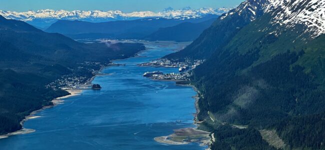
June 2, 2022 – Juneau, Alaska, USA
2022 Yukon & Double Denali Alaska land/cruise
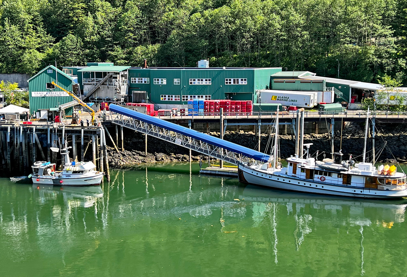
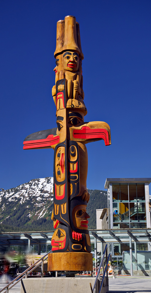
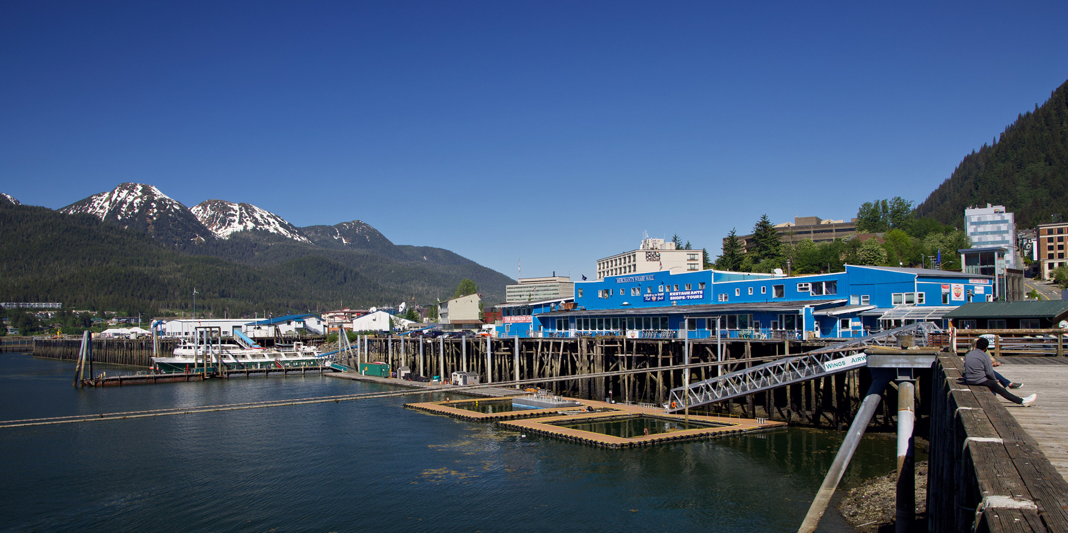
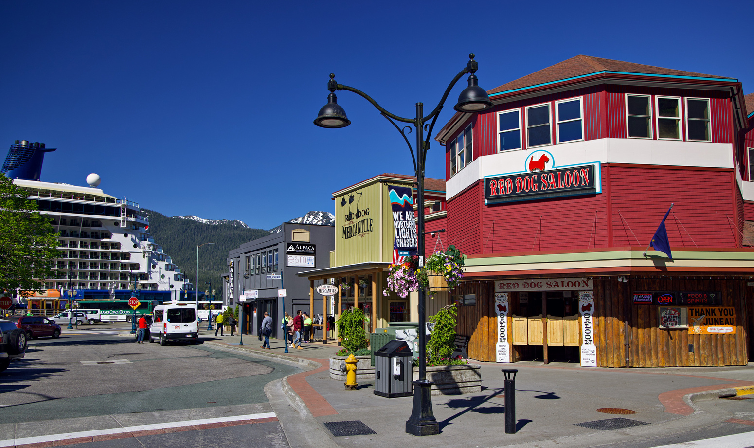
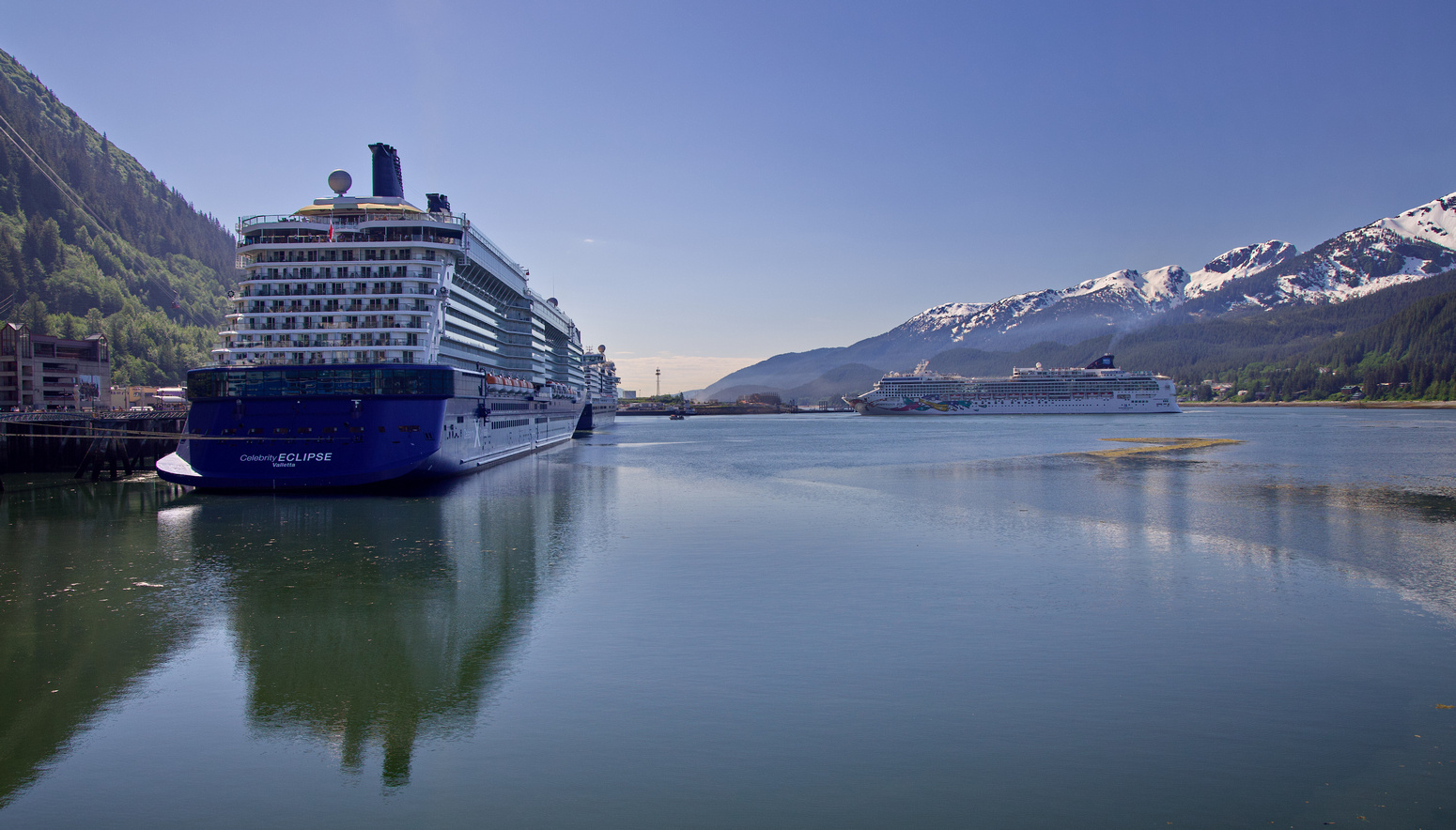
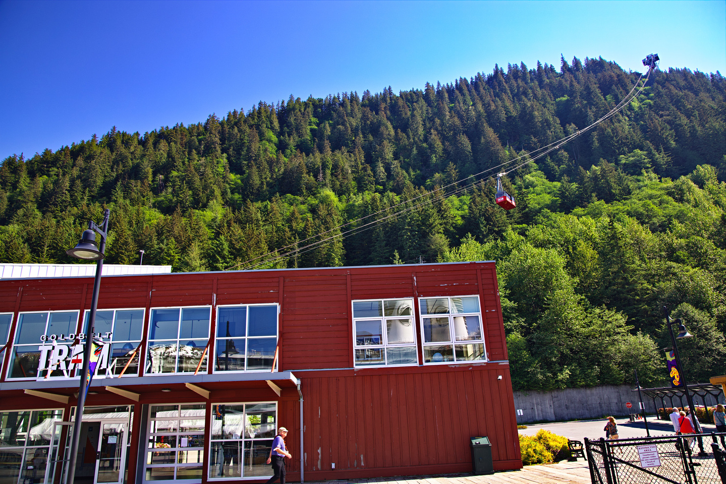
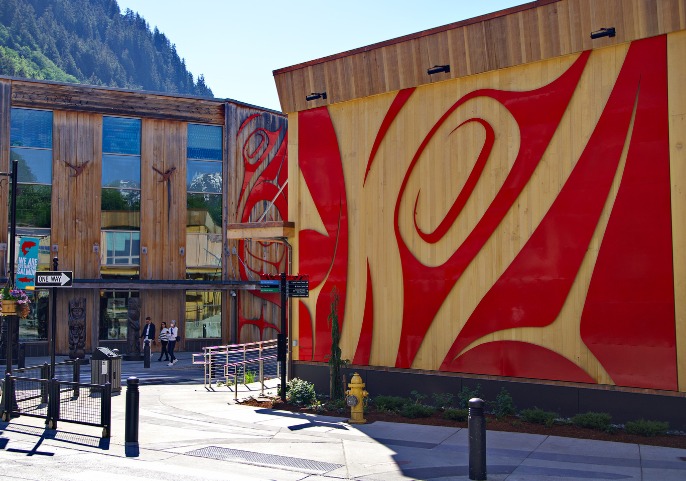
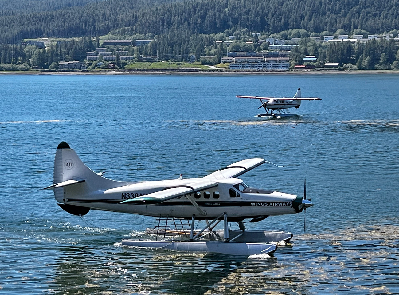
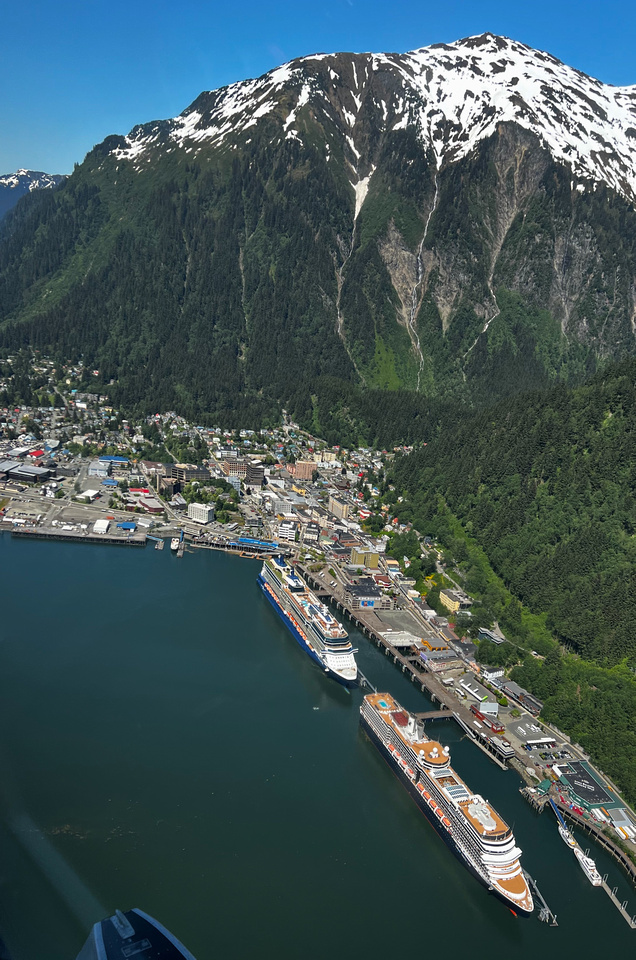
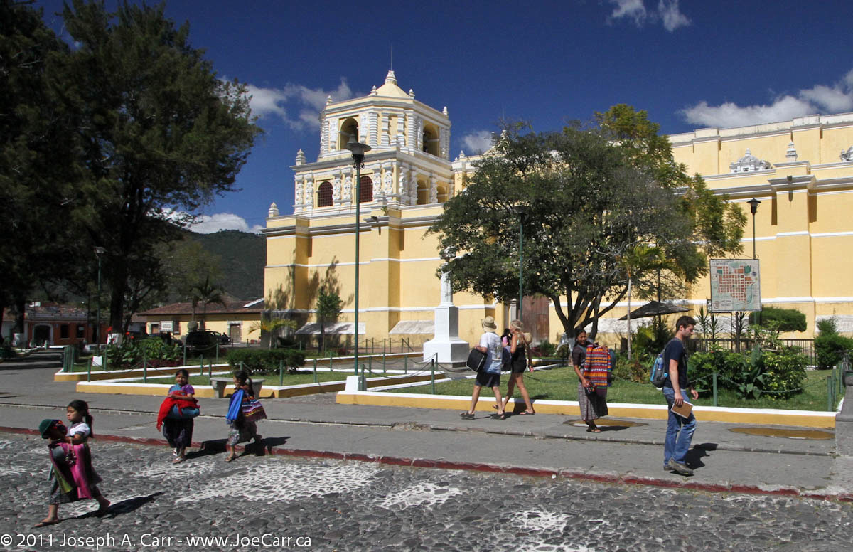
The ship arrives in Juneau at 8AM and my floatplane excursion doesn’t leave until Noon, so I have plenty of time to have breakfast and look around the city. Juneau is the state capital of Alaska, so in addition to tourism, the city has the government and some industry to base their economy on. There are nice plazas, a developed waterfront, the shops are plentiful and appear to be prospering. Before returning to the ship, I check out where Wings Airways dispatches their seaplanes from, which is only a 5-minute walk from where the ship is docked.
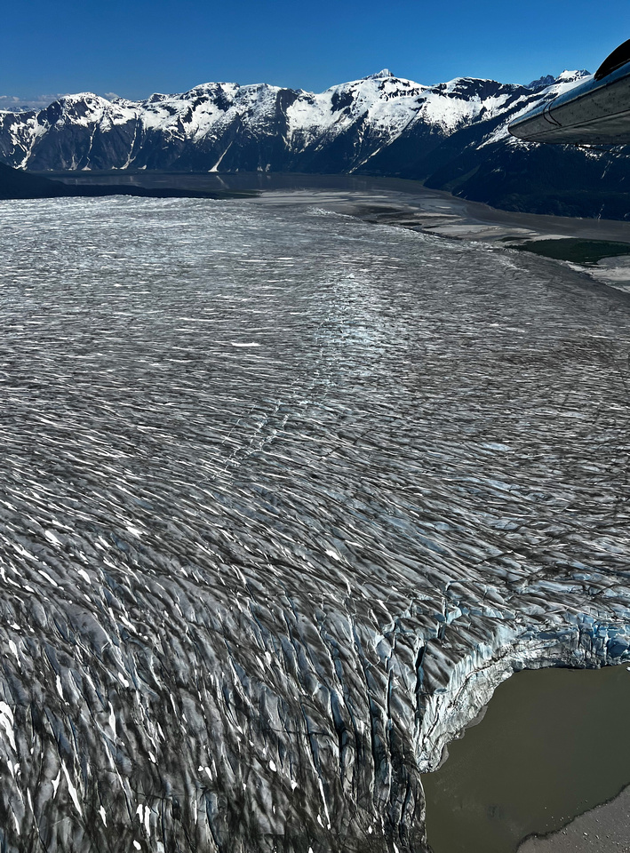
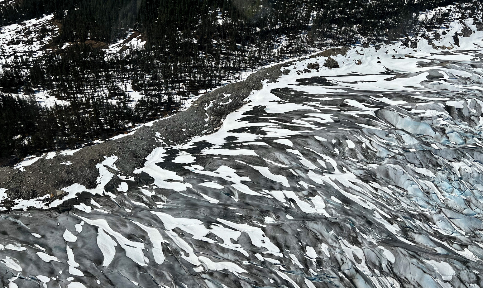
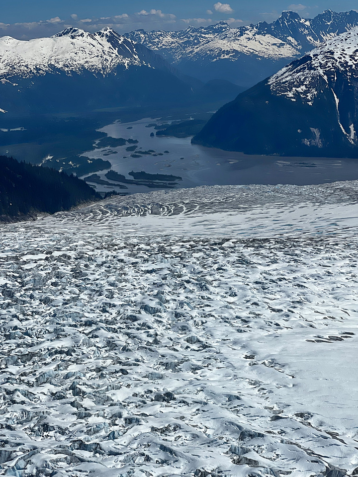
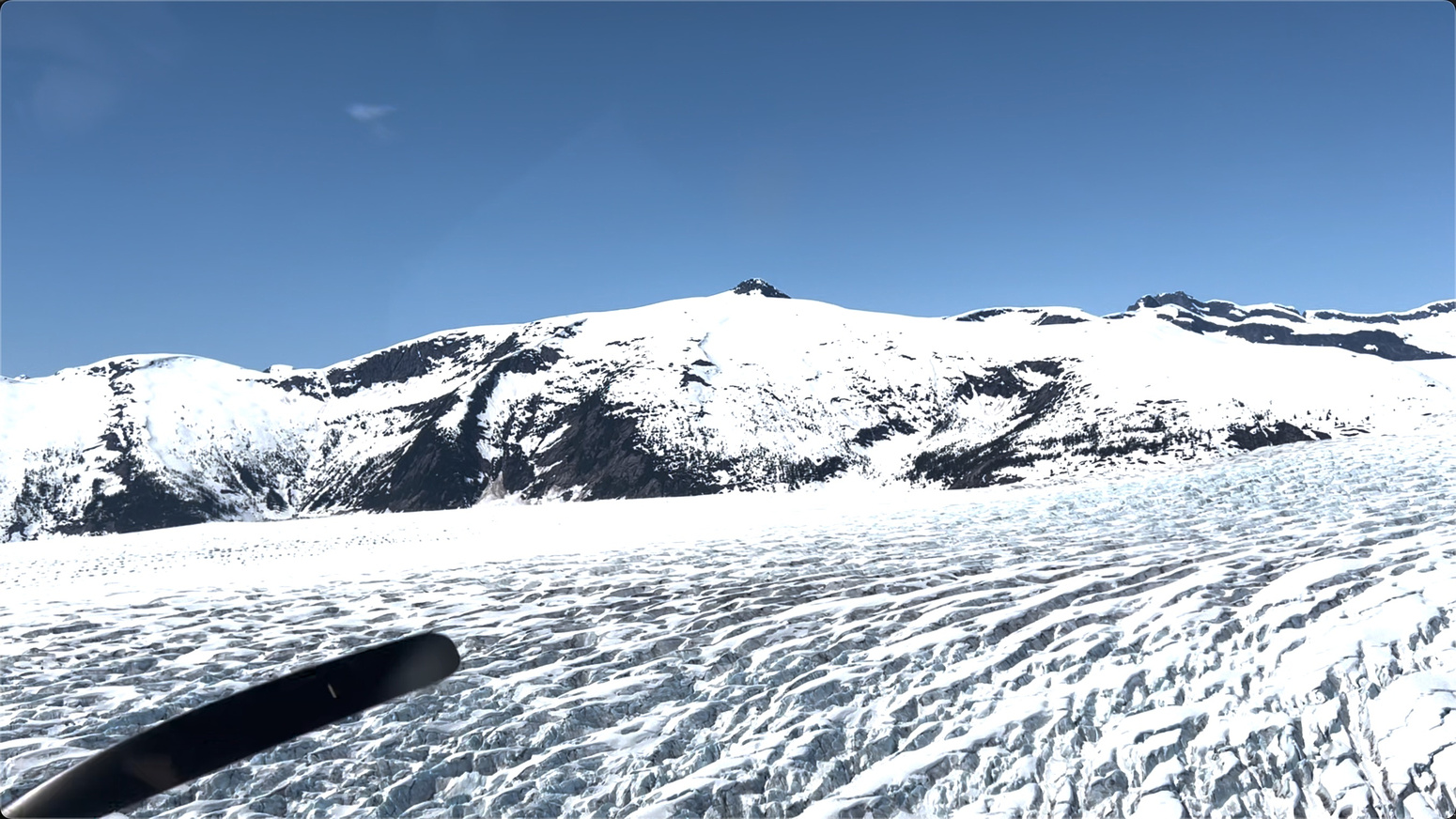
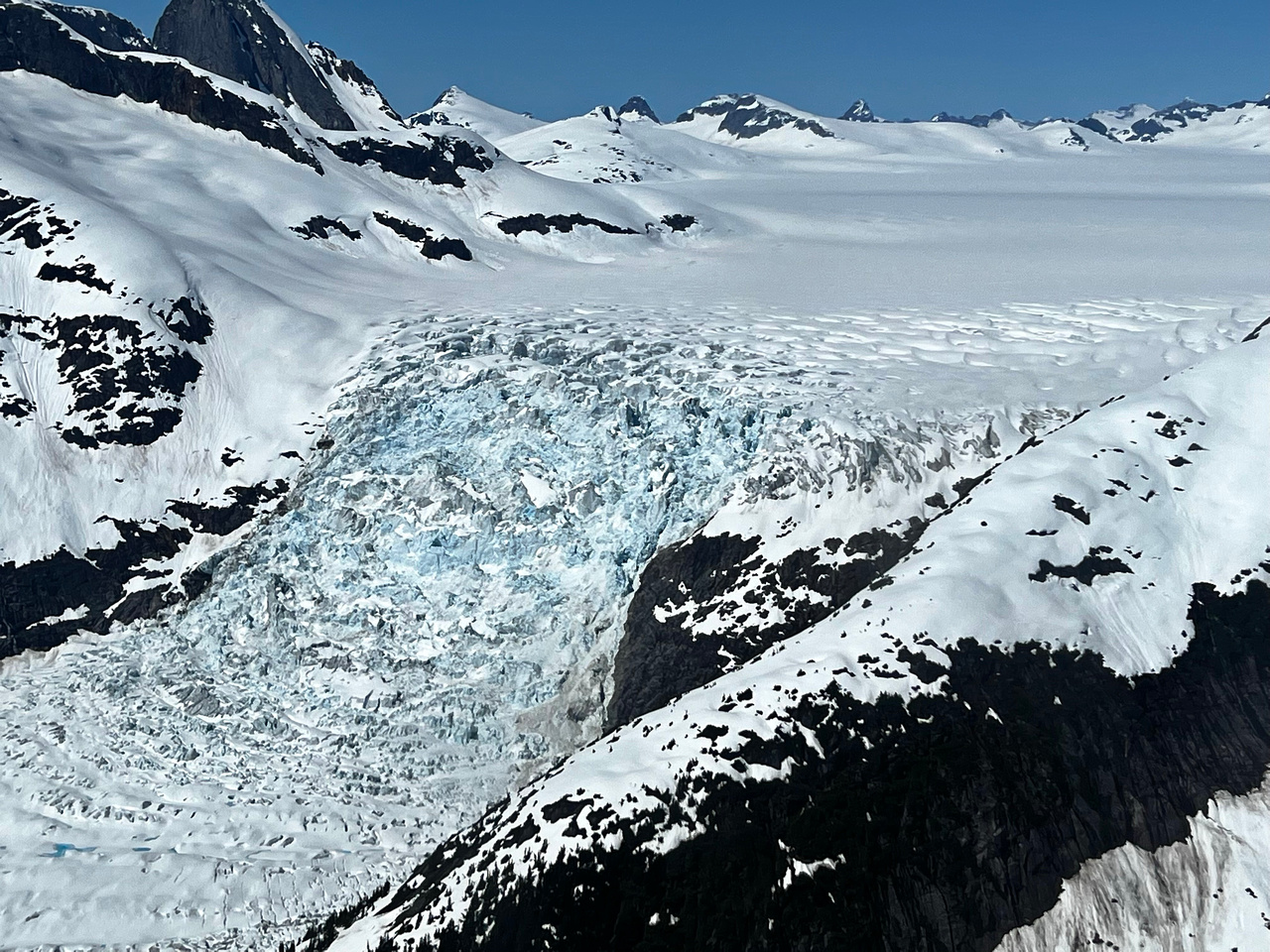
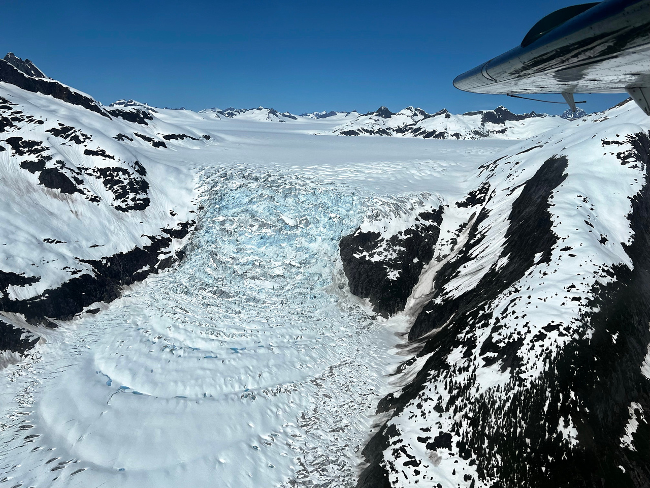
Five Glacier Seaplane Exploration
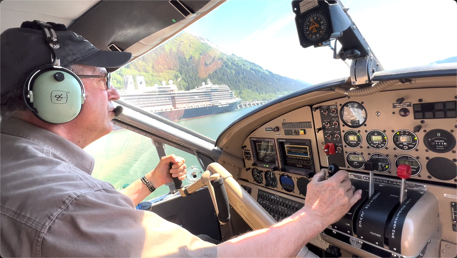
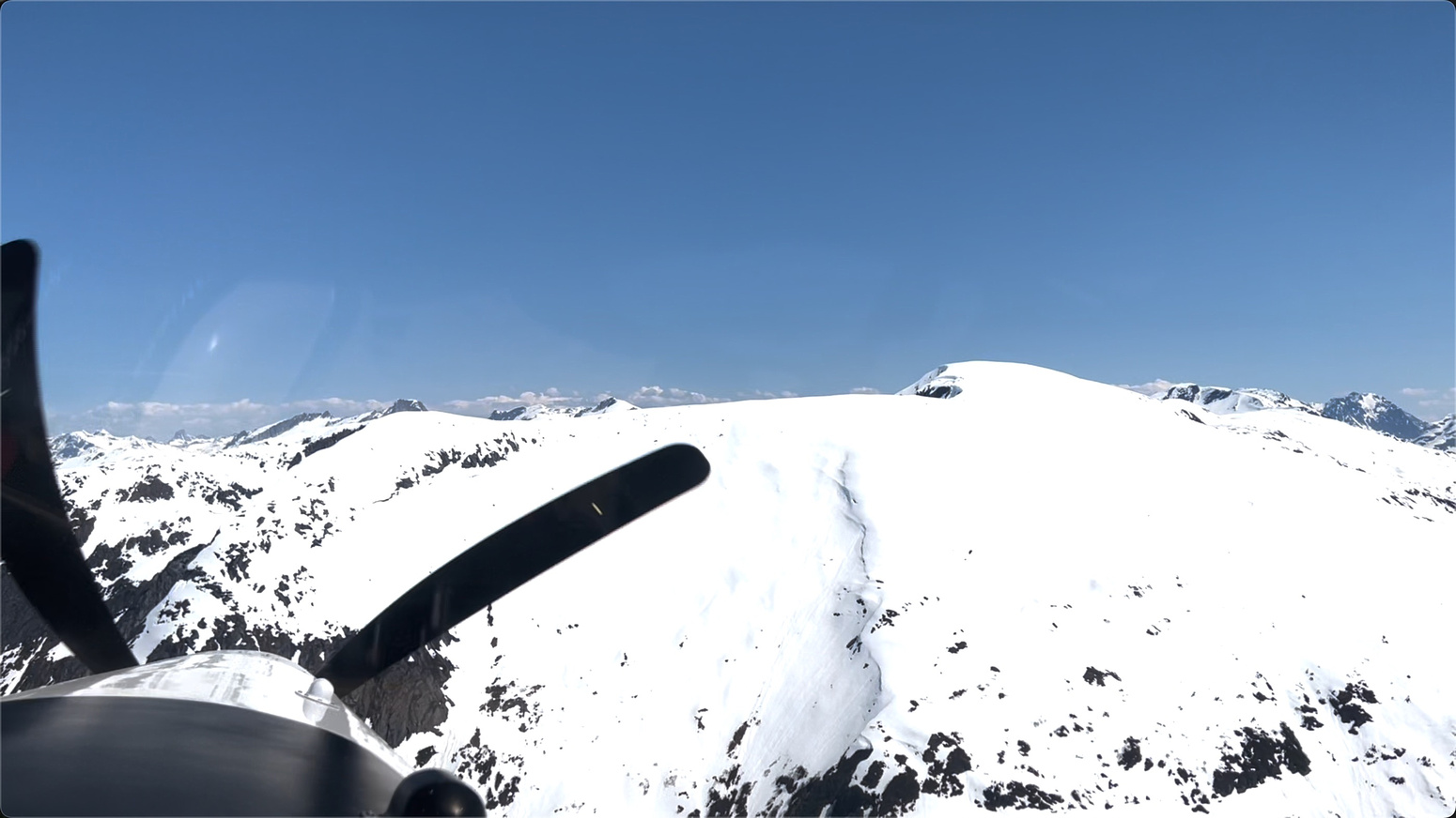
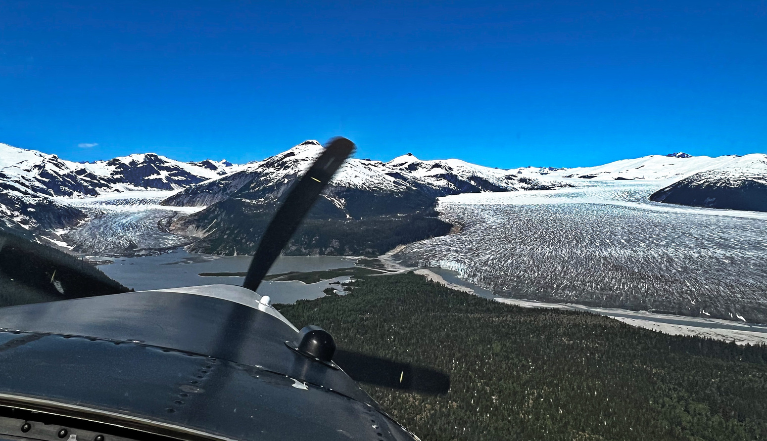
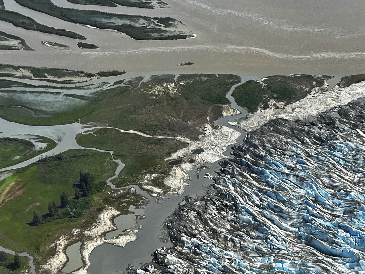
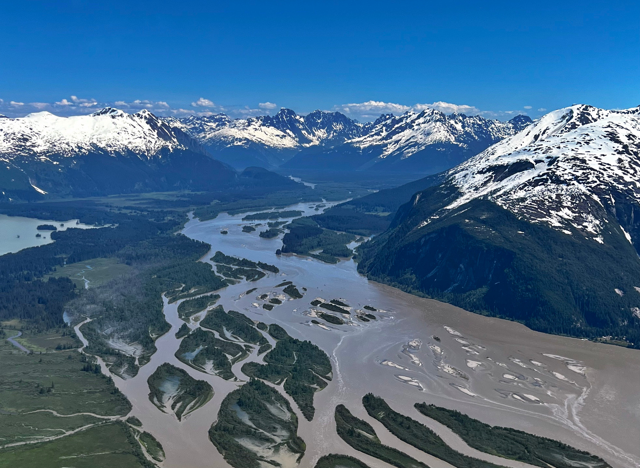
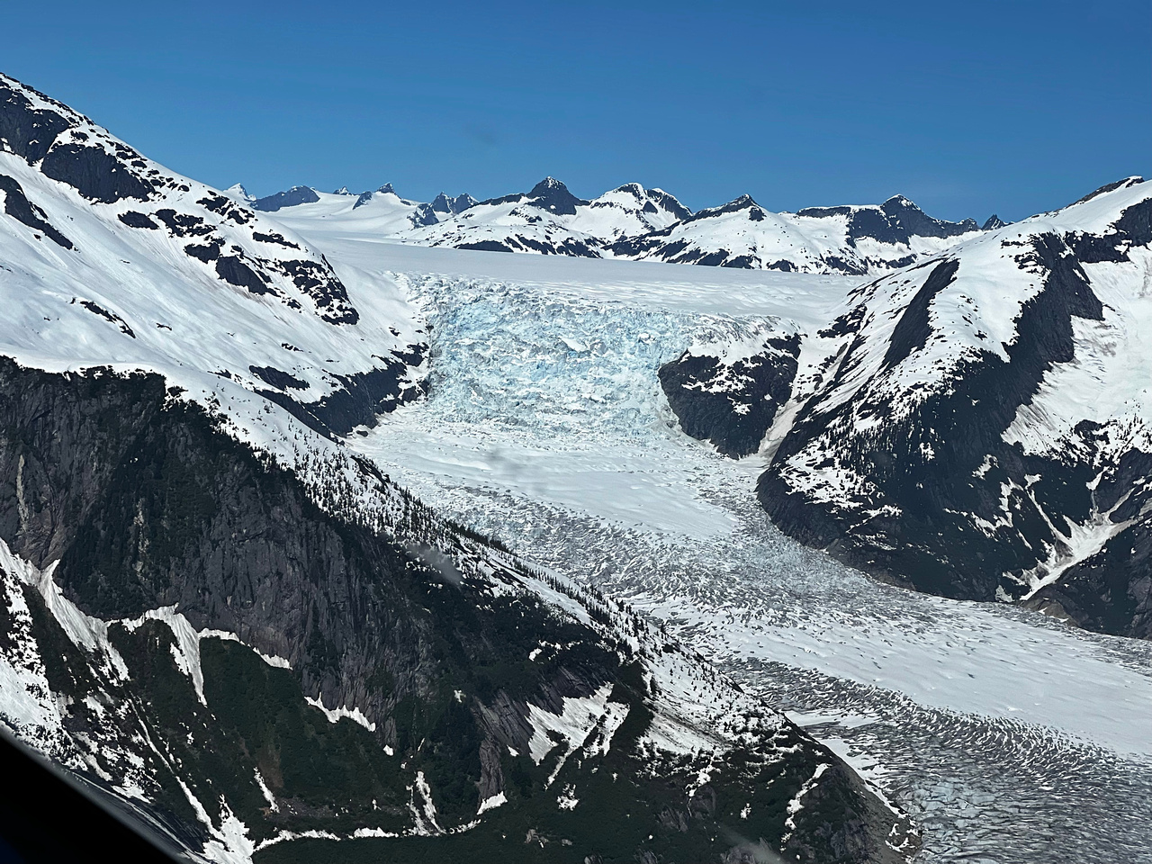
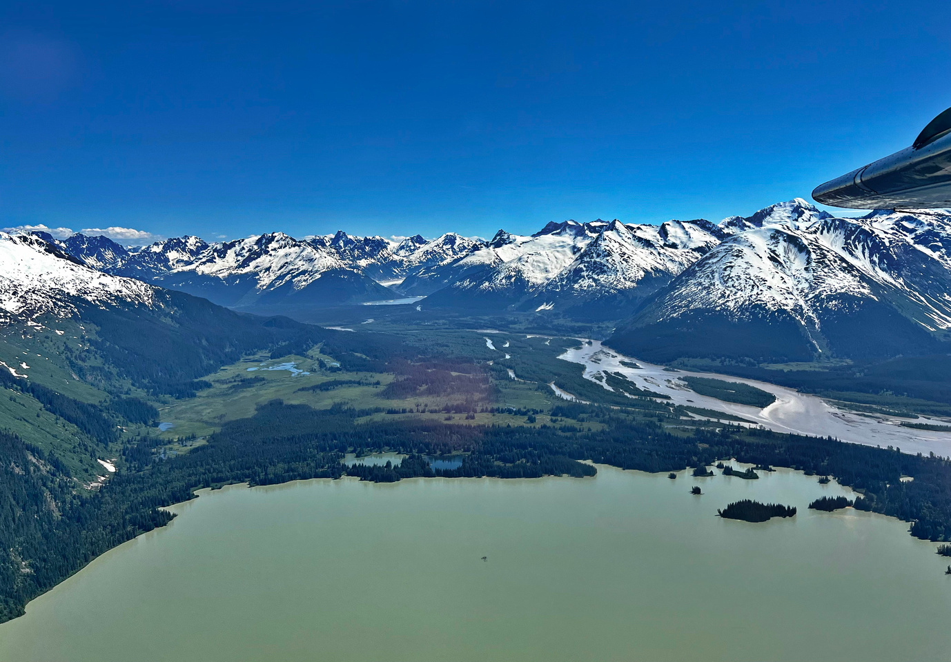
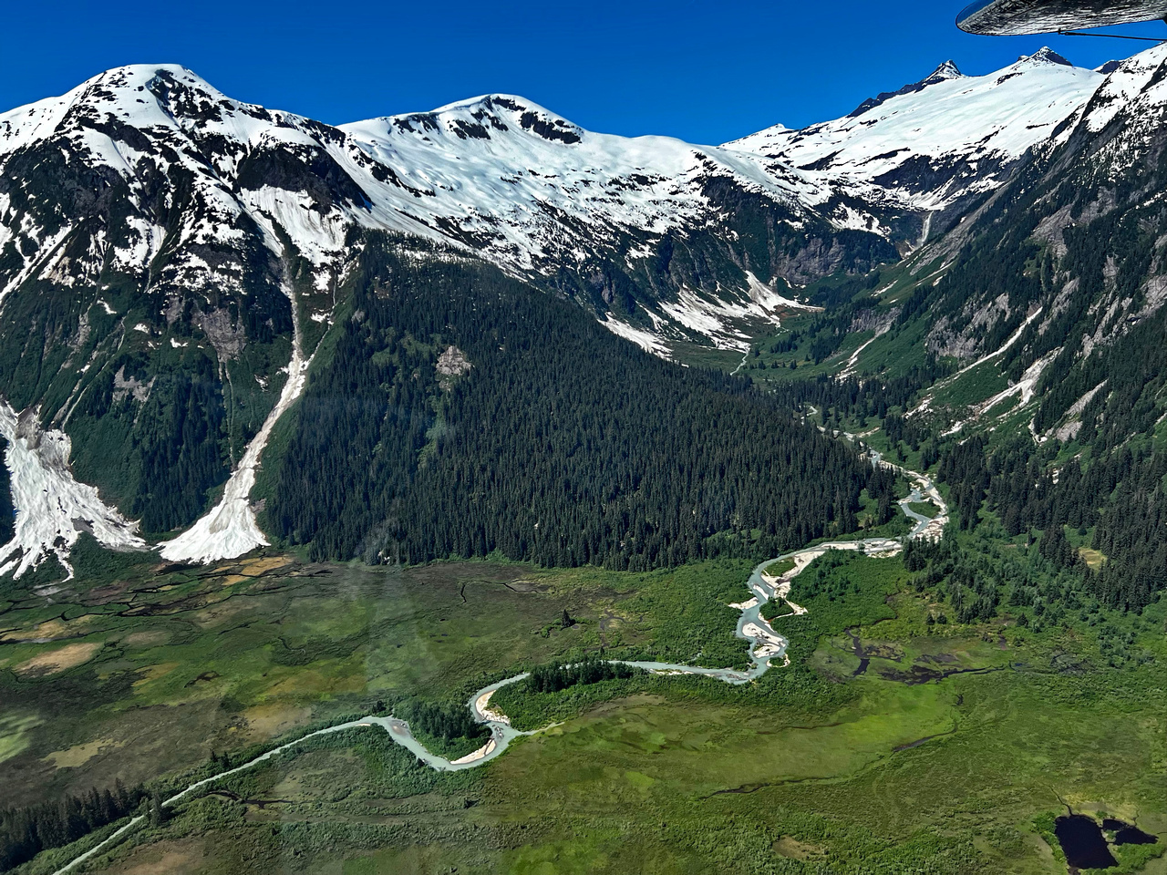
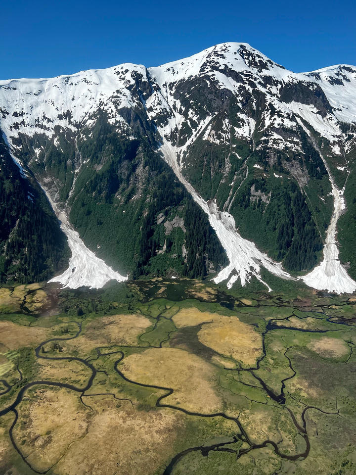
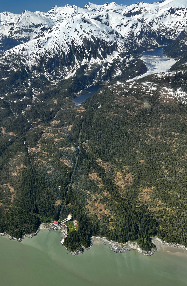
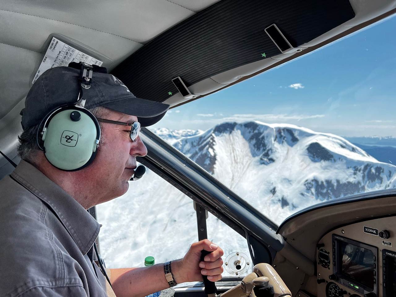
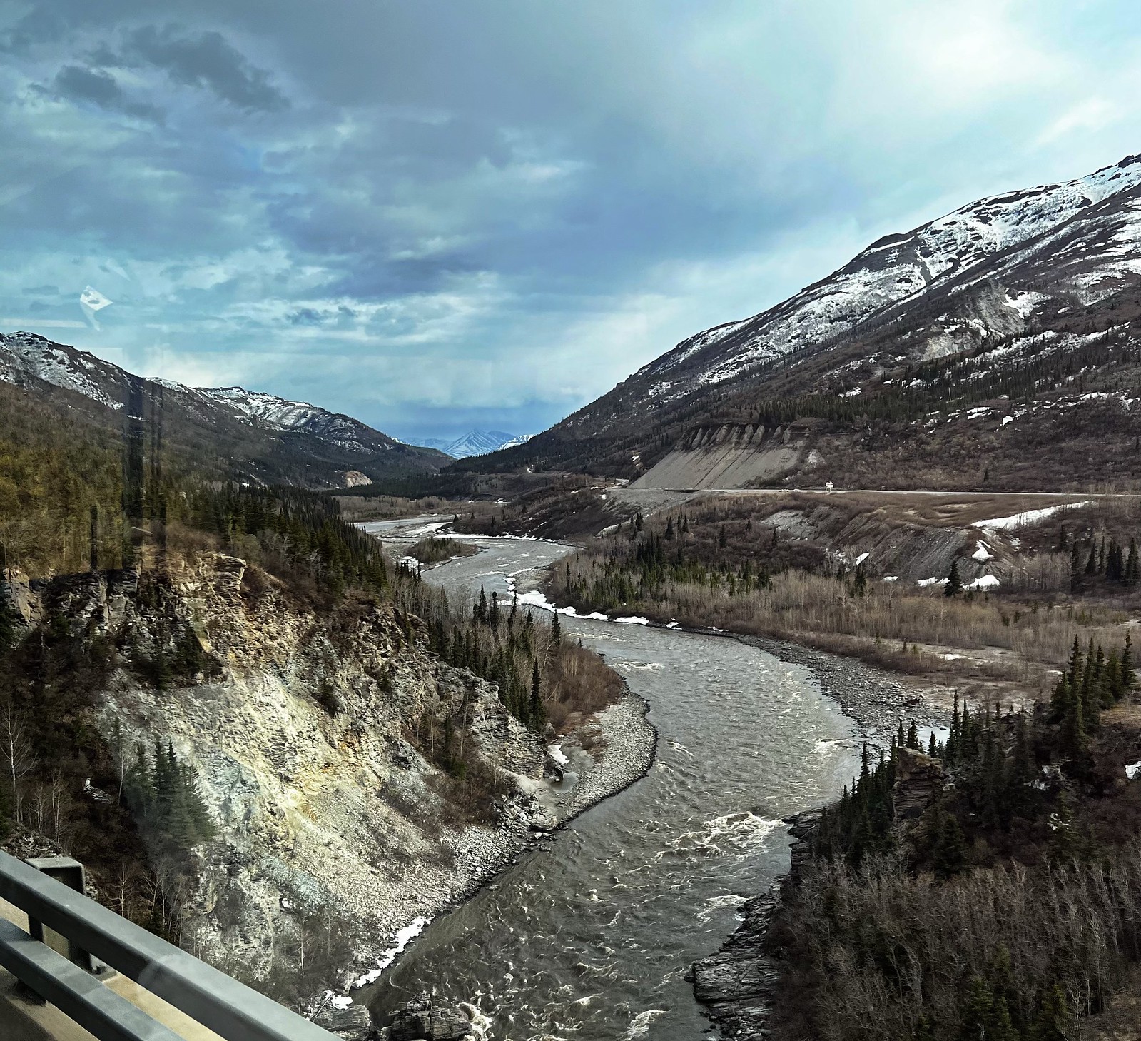
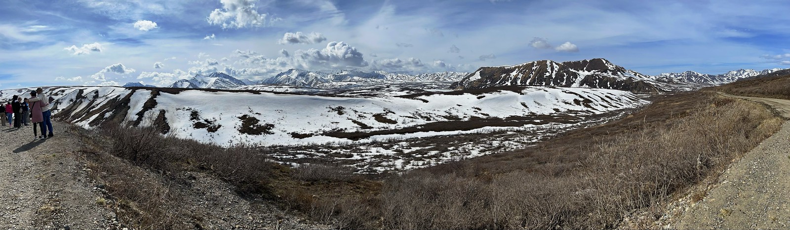
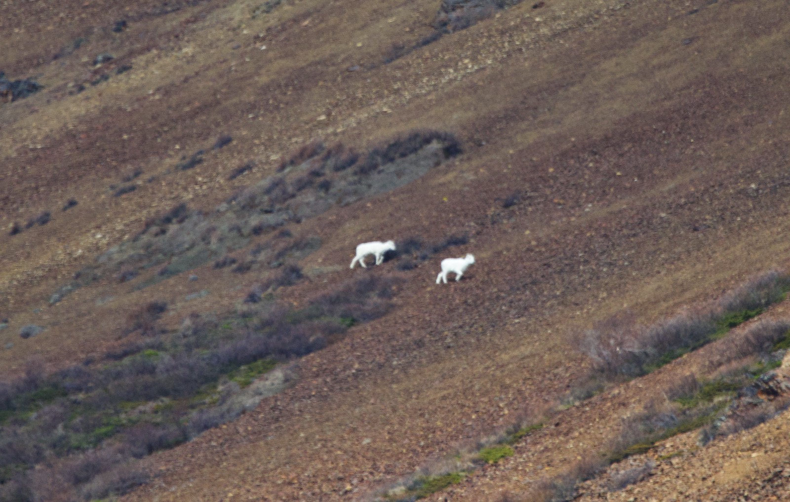
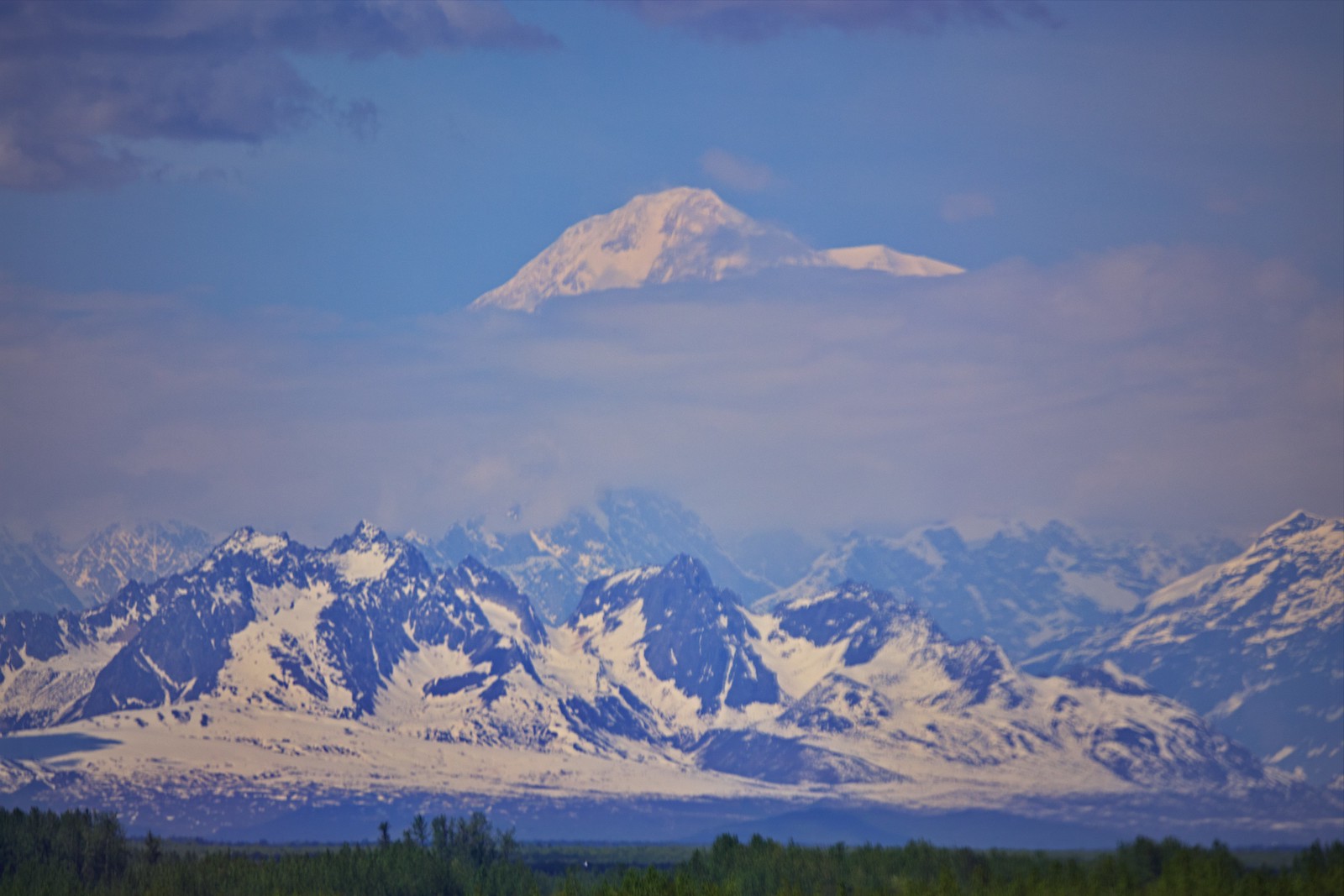
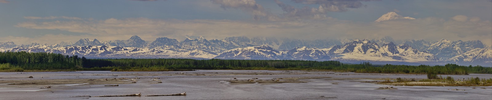
The pilot selects me to sit in the co-pilot’s seat, so that’s a real bonus, allowing me to see out the front of the aircraft as well as having a side window. We soar over the lush wilderness of the Tongass National Forest, catching our first glimpse of five distinctly different and majestic glaciers making up a section of the 1,500-square-mile Juneau Ice Field. We fly over the deep crevasses and azure blue meltwater pools of the Norris, Hole-In-The-Wall, East and West Twin Glaciers and lake, plus the impressive five-mile-wide Taku Glacier. Of the 36 named glaciers comprising the Juneau Ice Field, the Taku Glacier is the largest. The Annex Creek power station is visible as we fly along the Taku Inlet. There is a verdant valley between the foot of Norris and Taku glaciers and Taku Inlet.
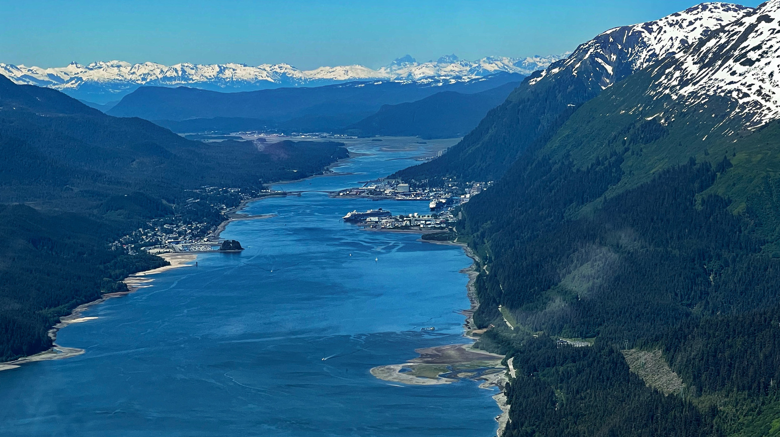
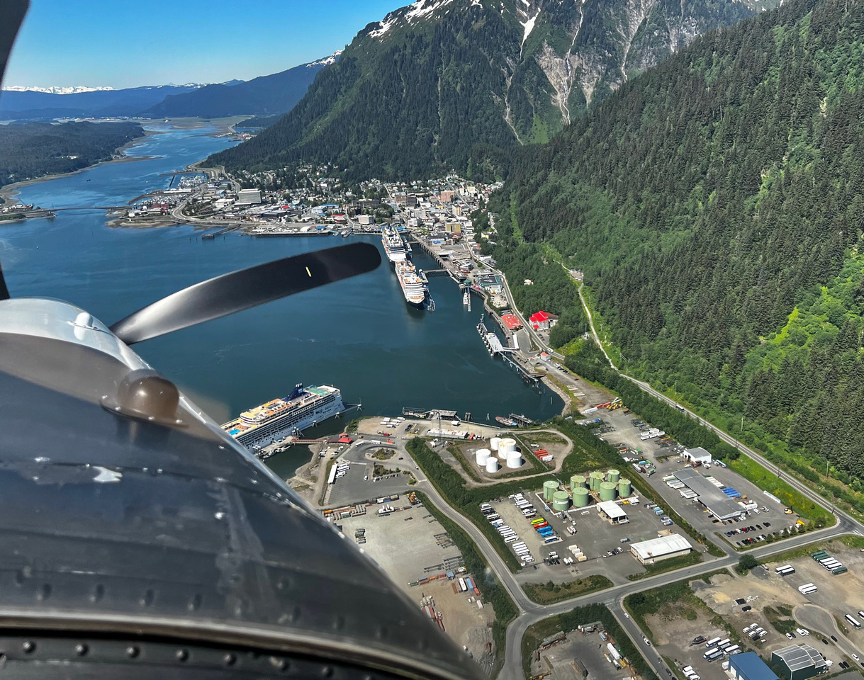
We end the flight by overflying the harbour and city before landing on a southerly heading, returning to the dock. I buy a souvenir t-shirt and ball cap combo from the seaplane office before returning to the ship. I have lots of photos and video taken with my iPhone 13 Pro on this spectacular flight in clear and sunny weather – well worth the expense for this excursion.
I have a pizza and a beer from NY Pizza aboard the ship, sitting in the shade beside the Sea View pool on the stern, overlooking the city and harbour. It’s a lovely warm and sunny day. In fact, Juneau breaks a record today set back in 1946 for the hottest day: 28ºC (82ºF). Our Belgian cruise director complains about getting a bit of a sunburn today!
Since I have the drinks package, I’m making a point of ordering cappuccino and alcoholic drinks anytime I want one. Today I had two cappuccinos with breakfast, the beer with lunch. I also have another cappuccino in the late afternoon at the Explorations Cafe, where Maria, the young barista thanks me for leaving a complimentary comment using the Navigator app a couple of days ago.
I skip dinner or even a snack this evening, since the personal-sized pizza I had this afternoon was 6 slices, which filled me up. I attend the 7pm Step One Dance Company Presents: Humanity and send a comment through Navigator app: “This is my first MainStage show viewed on this voyage, which I thoroughly enjoyed! Please pass on my congratulations to the performers. I know it must be tough to play to a mostly empty house, but their enthusiasm and professionalism shone through.”
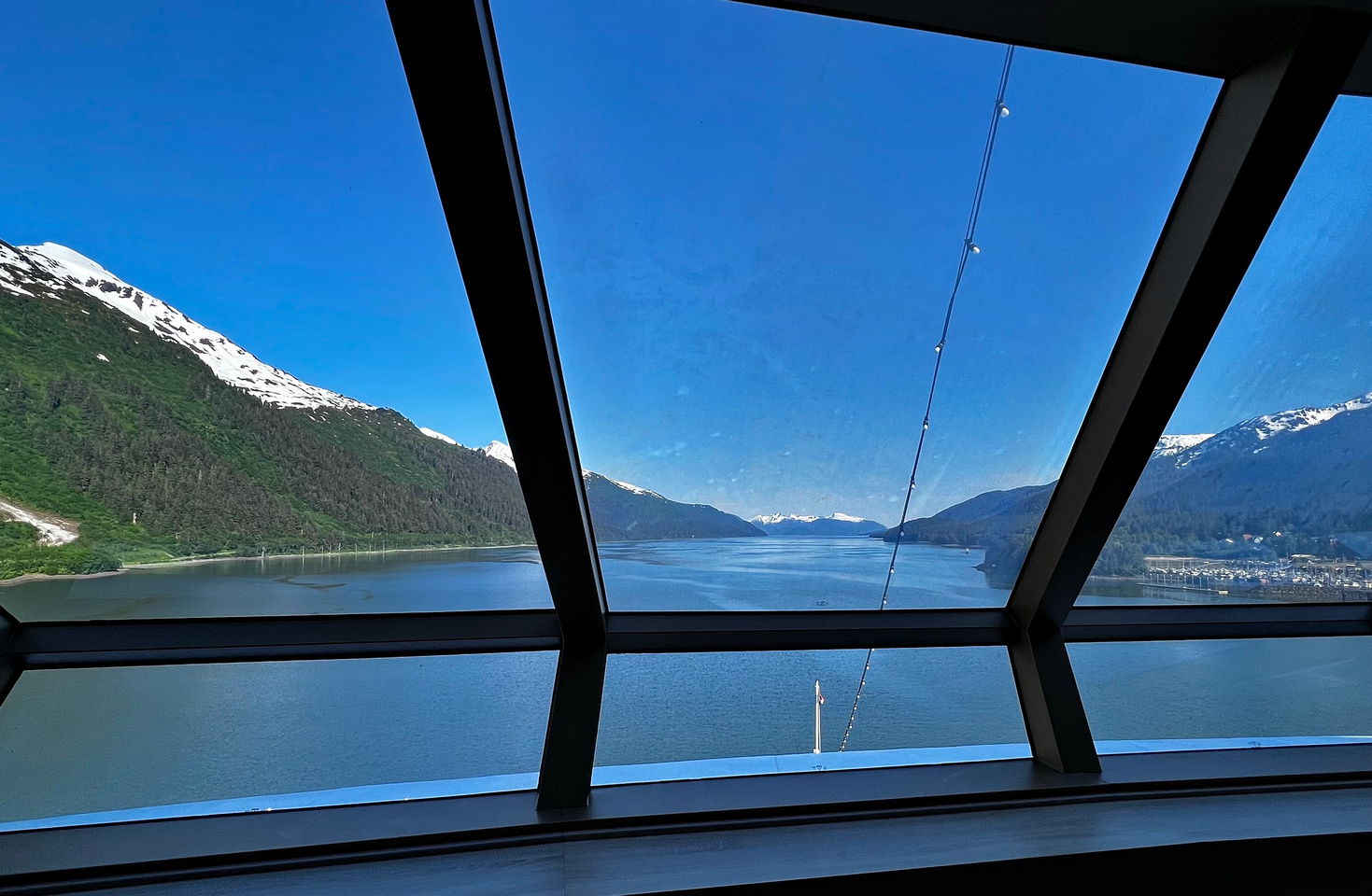
I spot my first small Humpback whale at 9:30PM this evening from my verandah as we pass through Frederick Sound. The ship is making 20 knots to Ketchikan, so there is only time to grab binoculars, not my camera.