post

Bali, Indonesia

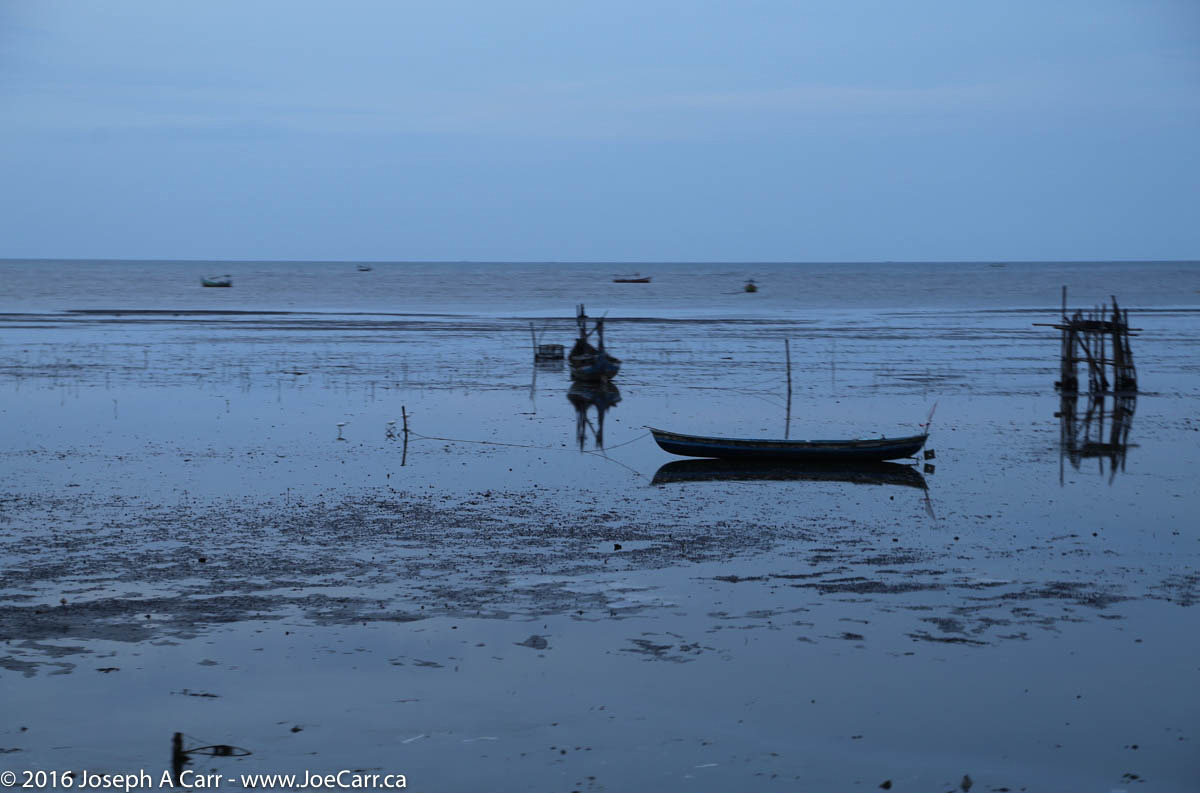
March 13, 2016 – Benoa, Bali, Indonesia

2016 – SE Asia and Total Solar Eclipse cruise

Monkeys perched on a temple column in the Sangeh monkey forest, Bali, Indonesia

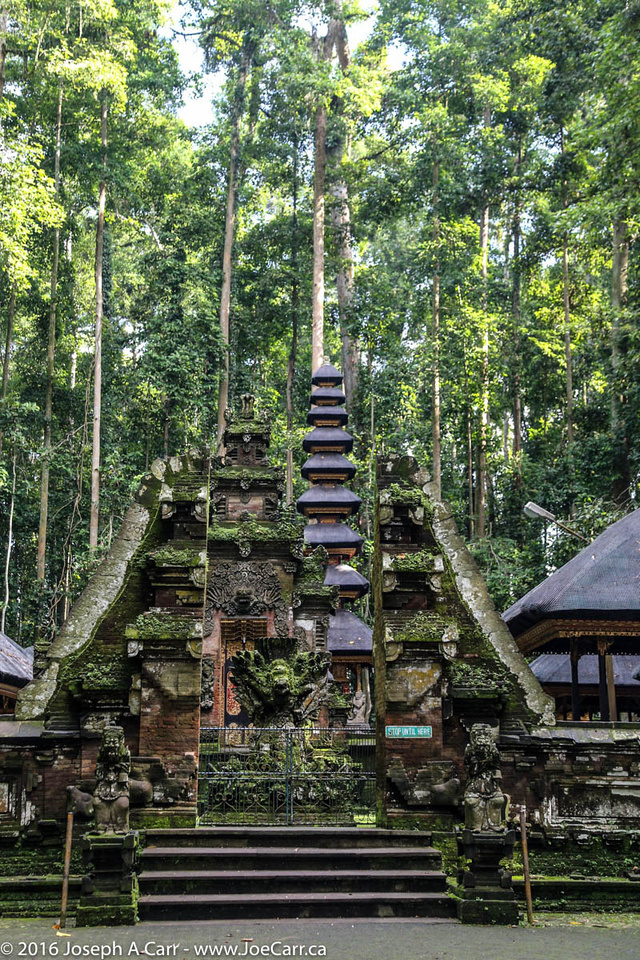
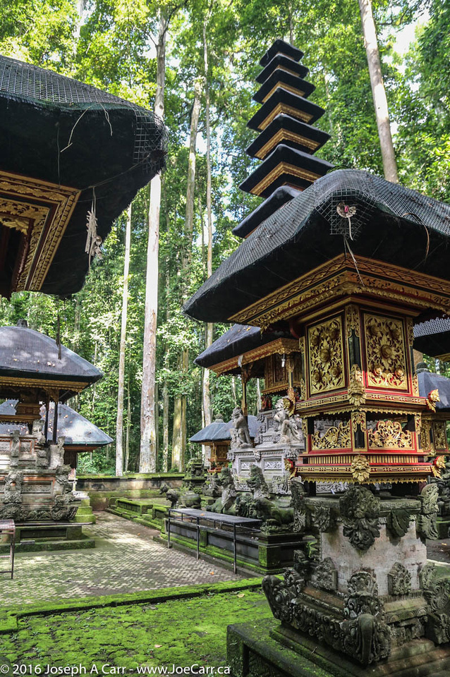
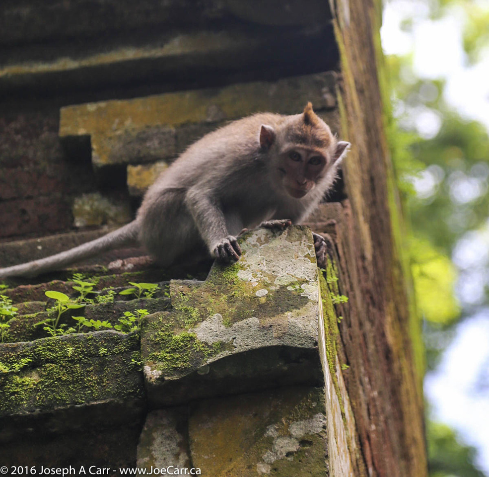
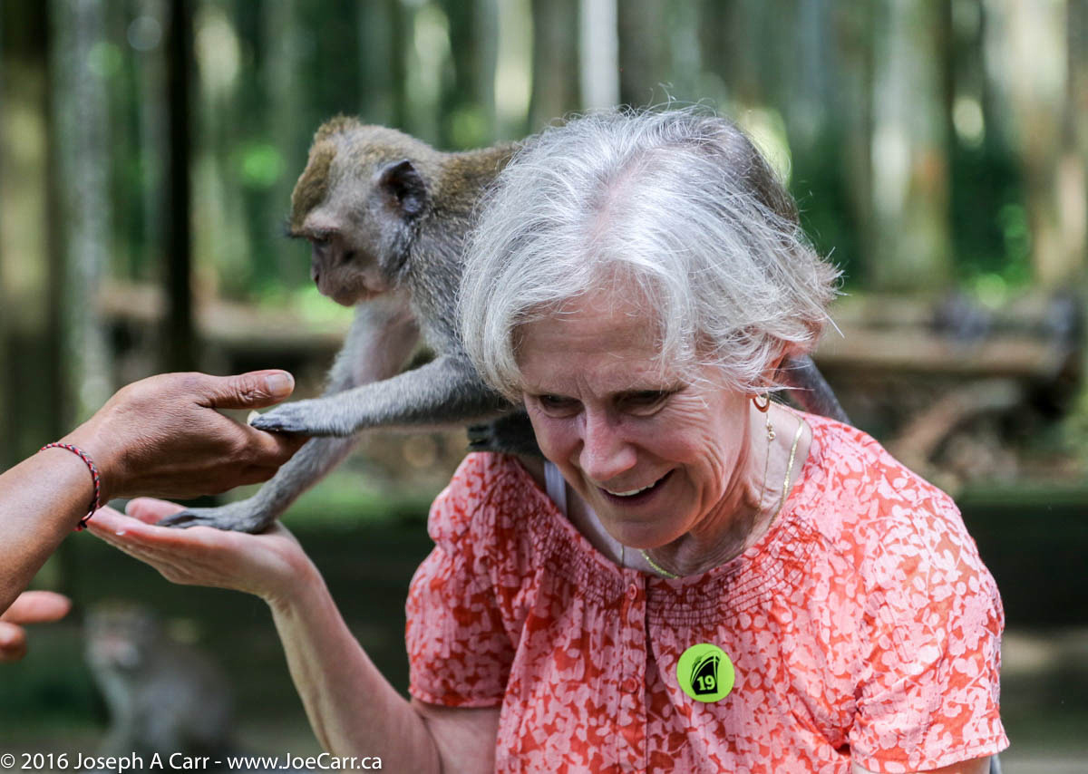
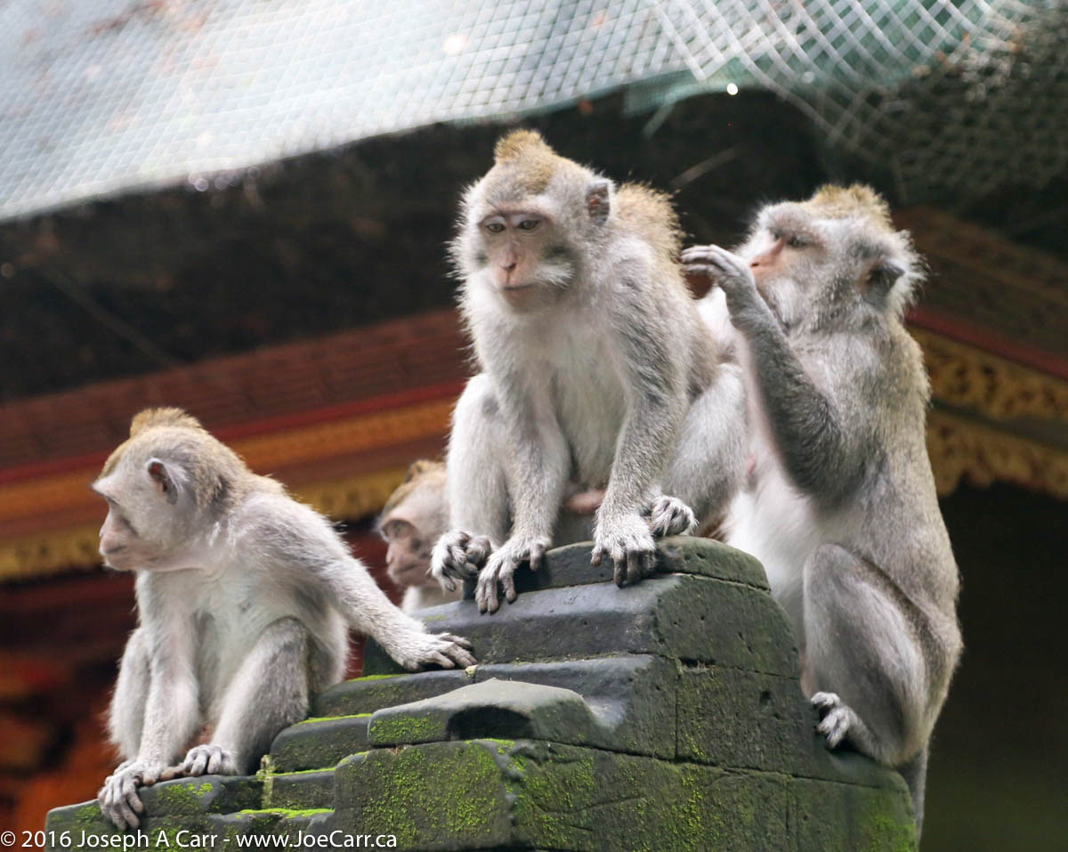
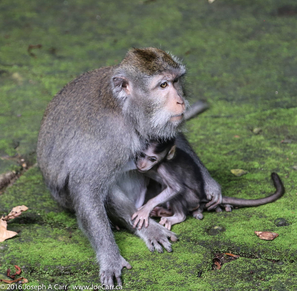
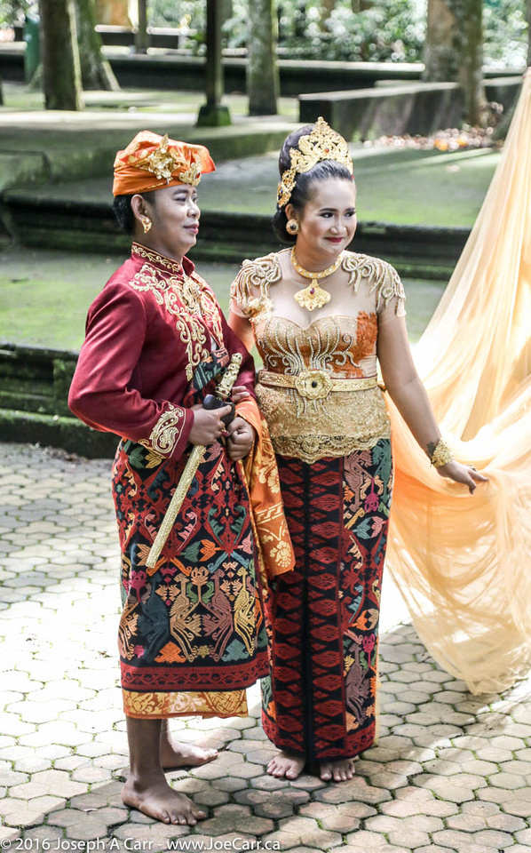
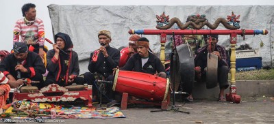
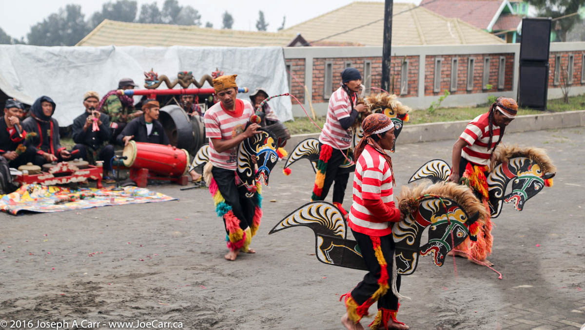
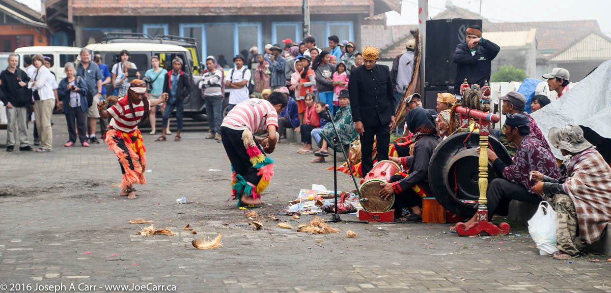
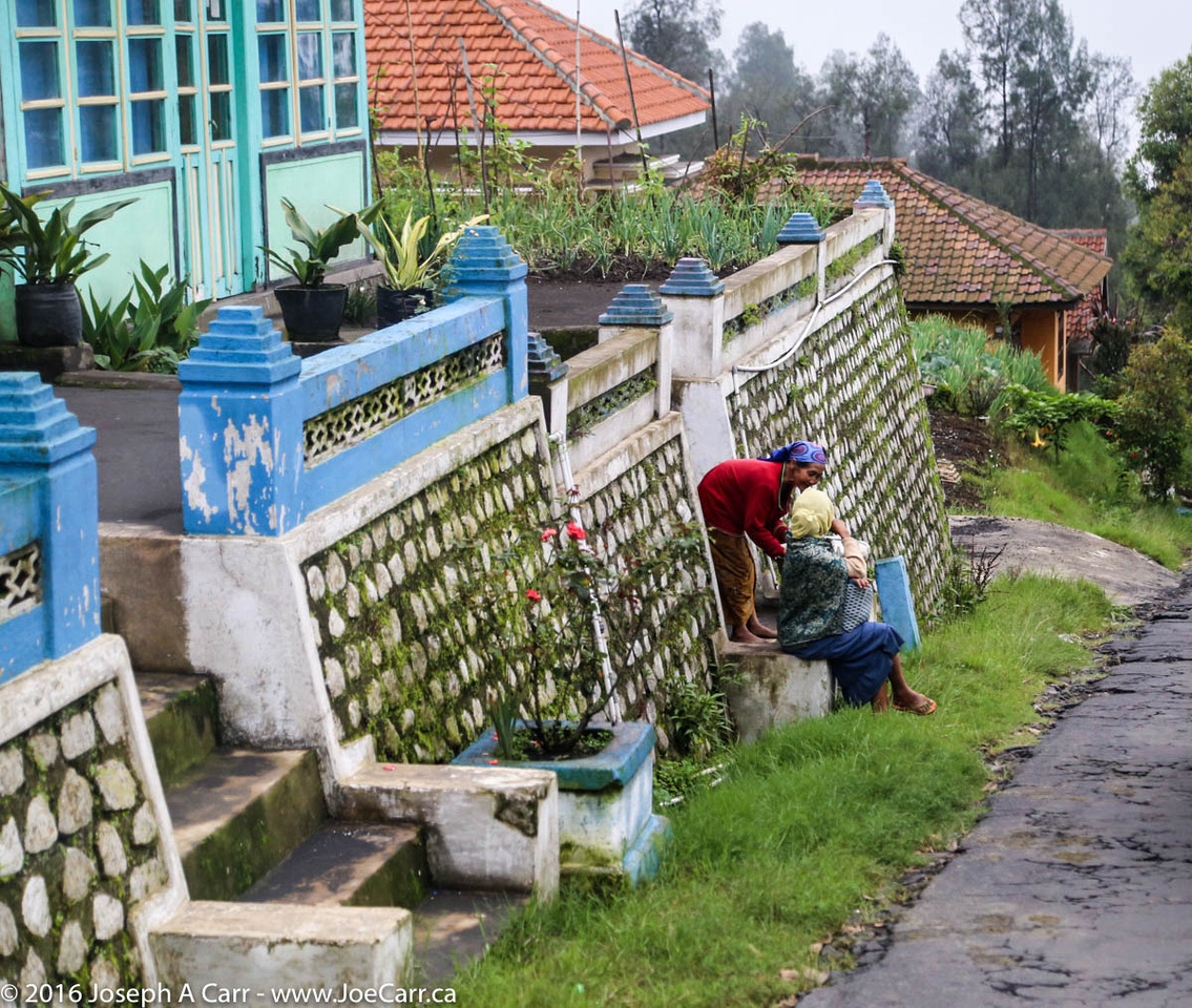
I leave early this morning on the all-day Munduk Highlands tour of Bali. I deliberately chose this excursion awhile ago since it gets me away from the hot and humid coastal area. We drive out of the port of Benoa upcountry to the Sangeh monkey forest, with its towering nutmeg trees and temples. We watch dozens of resident Long-tailed Macaque monkeys frolic along the pathways. Some jump on tour group members, however they are much more friendly, gentle and well-behaved than monkeys in other areas. The cool of the shade in this place is wonderful. A couple of Balinese actors show up in full costume for us to take photos of. What a great touch!

Funerary procession inside the Pura Ulun Danu temple, Bedugul, Bali, Indonesia

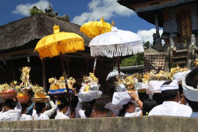
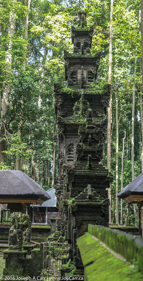
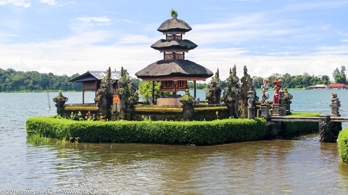
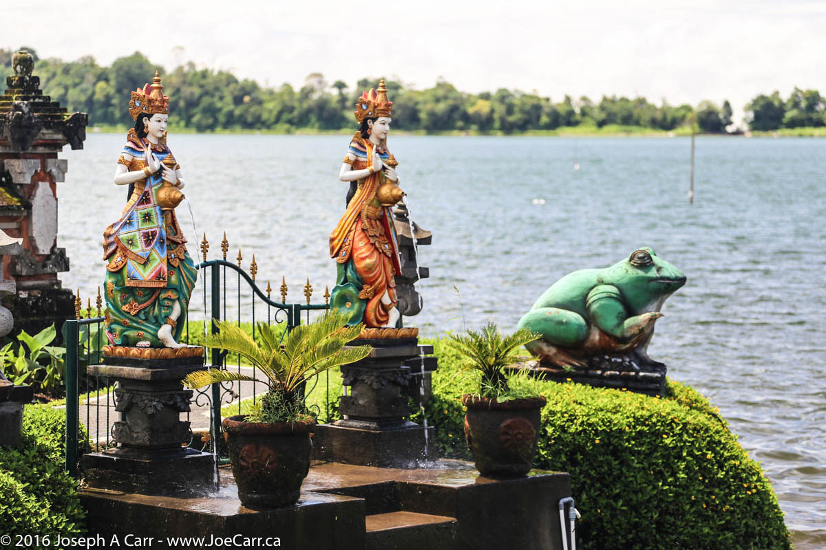
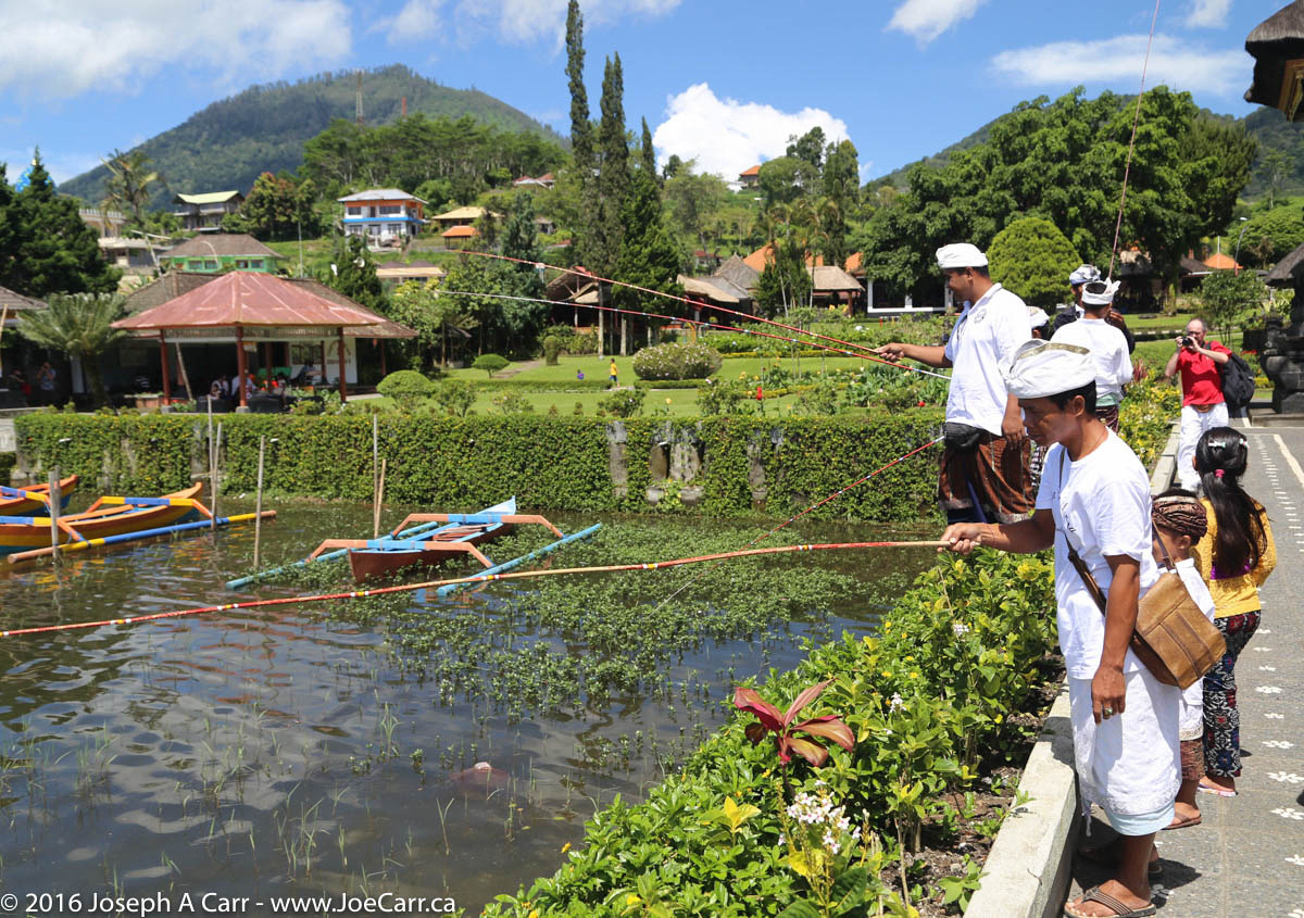
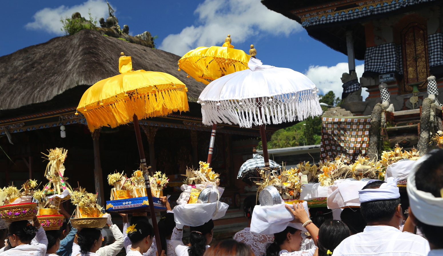
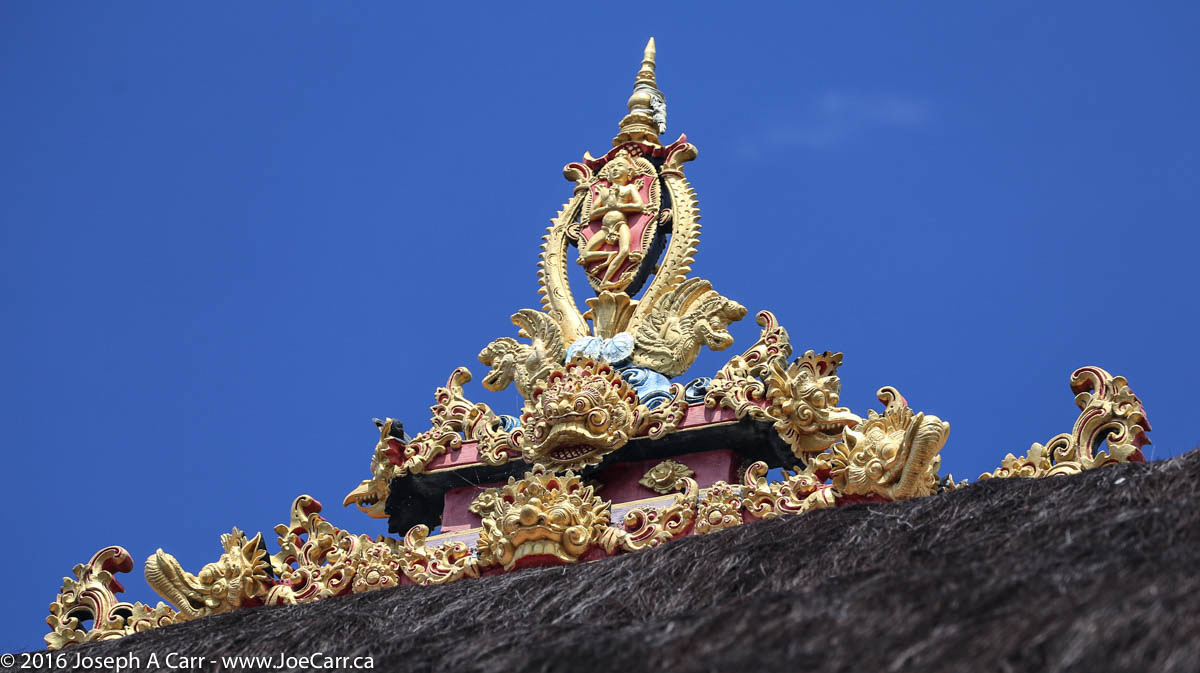
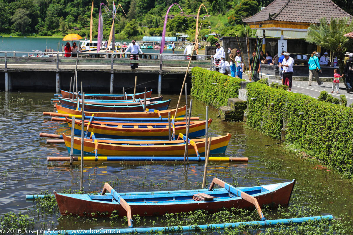
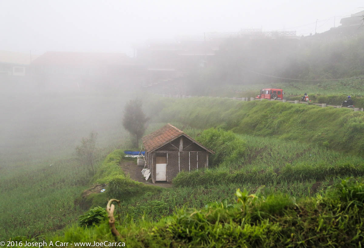
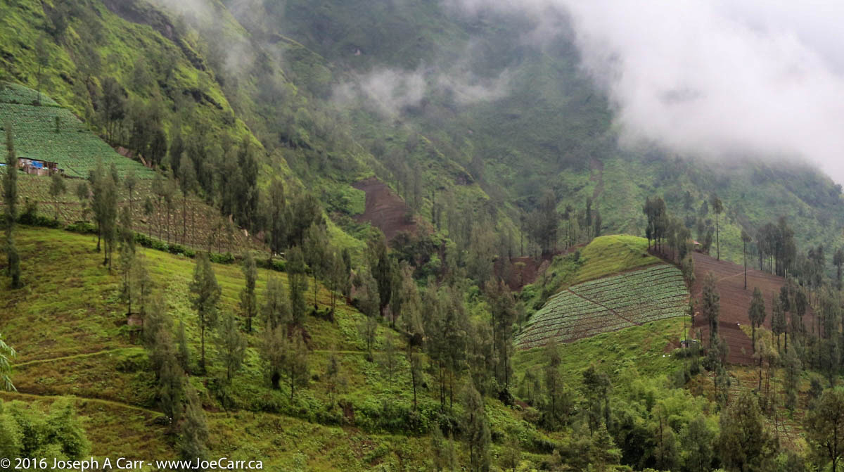
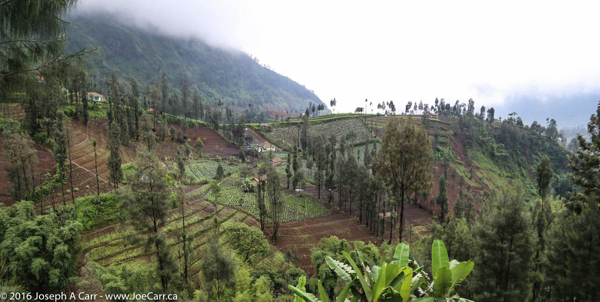
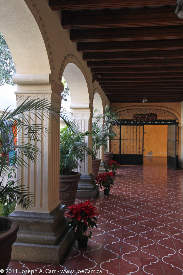
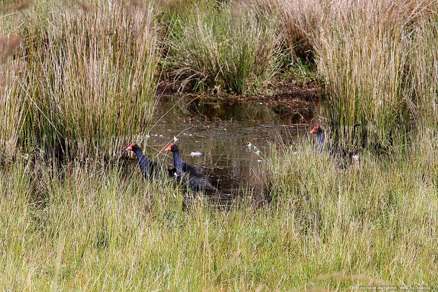
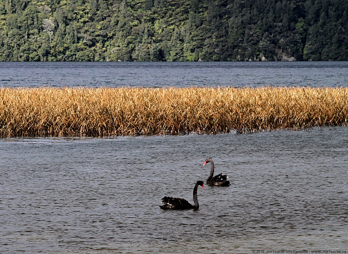
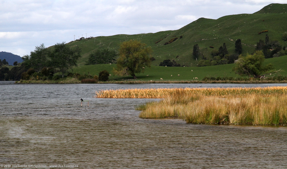
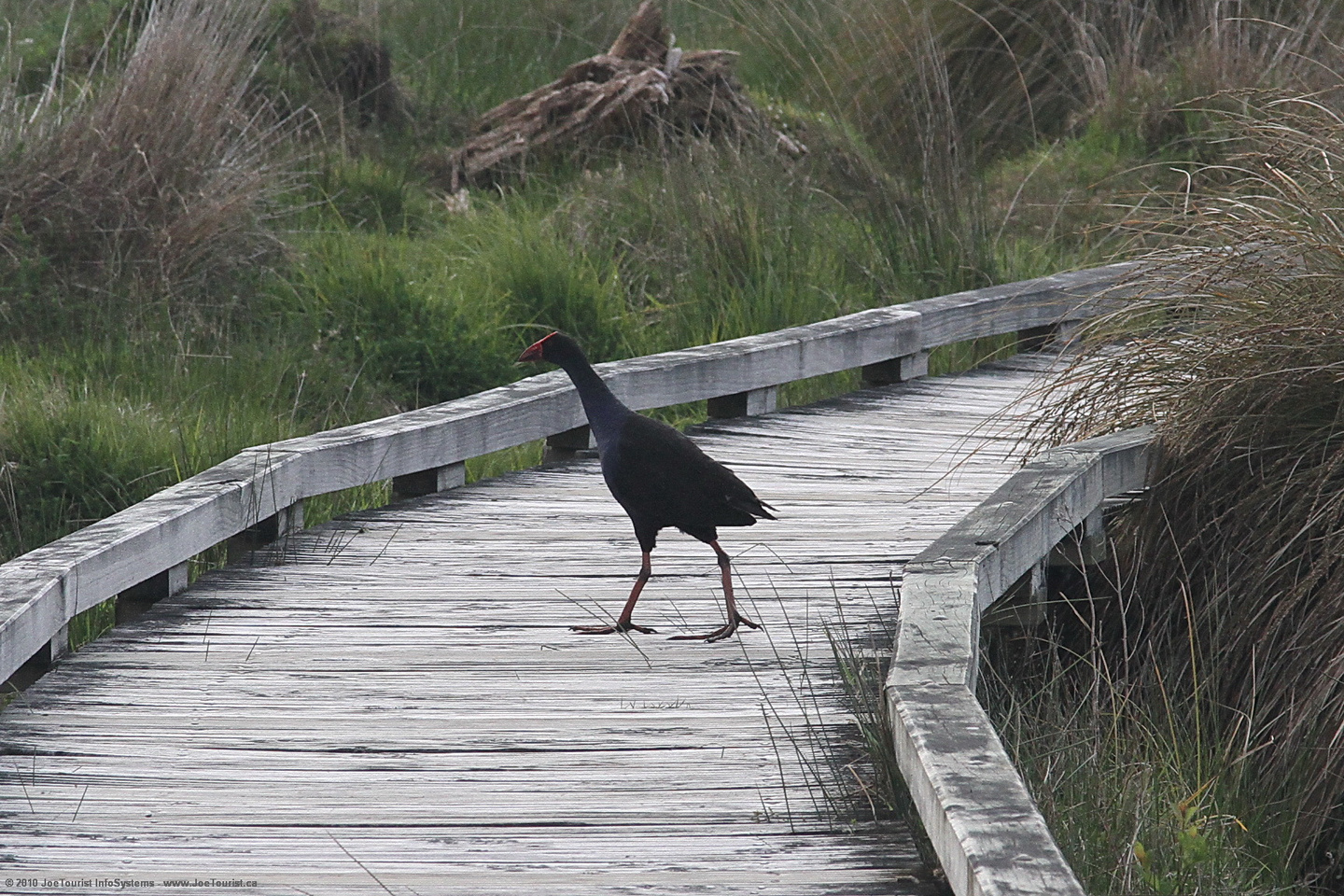
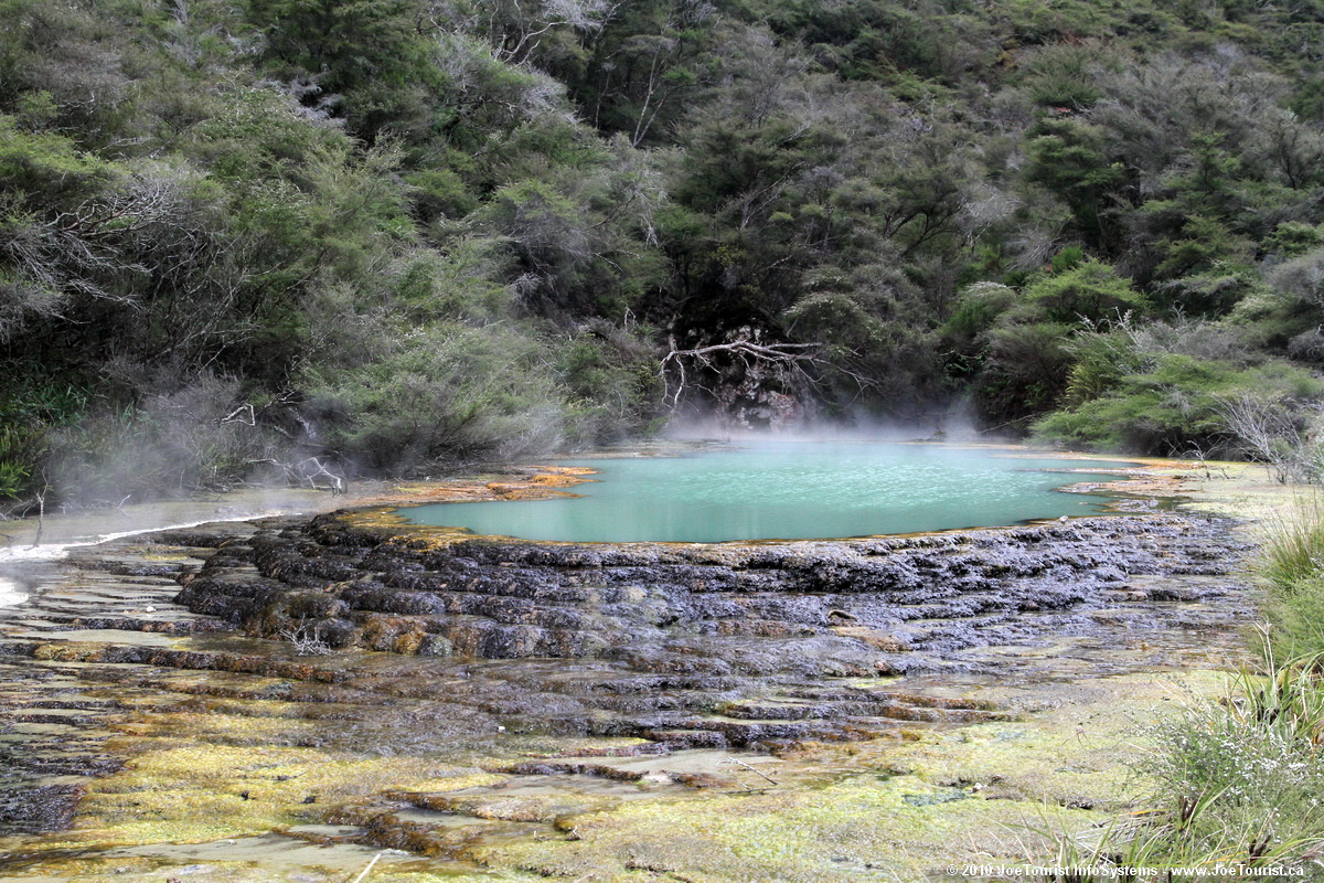
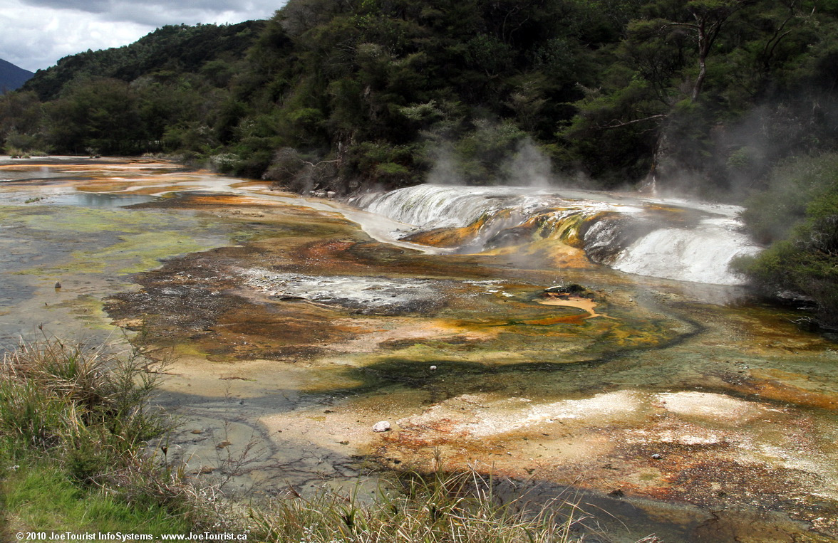
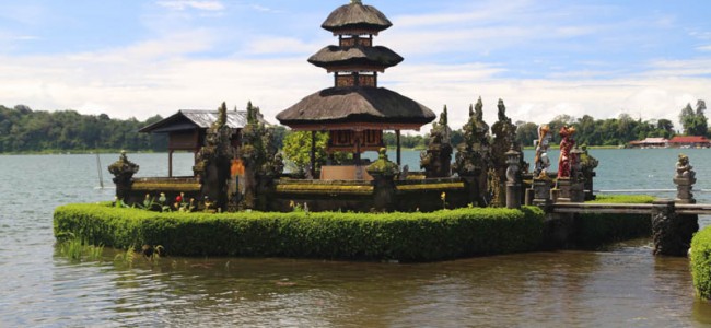
We continue climbing up into the mountainous area of Bedugul to see the Lake Bratan area at 1,200 metres (4,000 feet) above sea level in the crater of Mt Catur. The Pura Ulun Danu temple is located along the lake shore, dedicated to the lake’s water goddess. While visiting the temple, we see local Balinese people in a funerary parade, and others are praying in the nearby temple. Decorative statues on the lakeshore are amazingly picturesque, as is the scenery in this old volcano. The climate is a bit cooler than the seaside areas of Bali, and yet the Sun is out.

Woman selling corn beside a local fruit, vegetable and clothing market in Bali, Indonesia

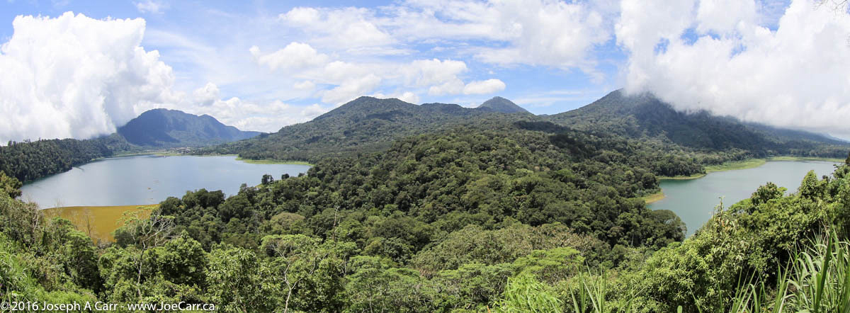
We climb to the ridge line of the mountains and see the twin lakes of Buyan and Tamblingan, which are two of the largest lakes on the island. After taking a few photos, we descend a bit to have a nice buffet lunch at the Bali Handara Country Club, a local golf course with a view of one of the lakes.

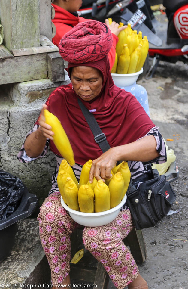
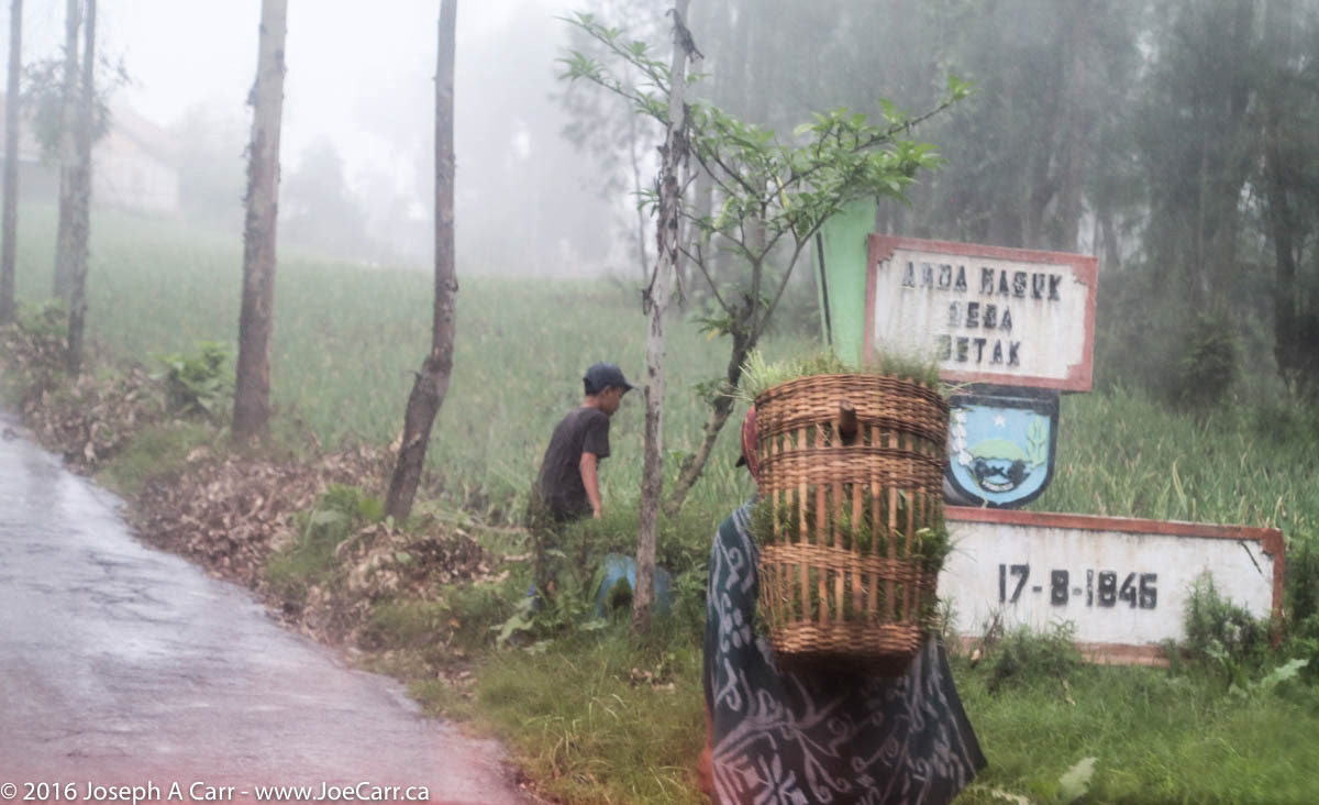
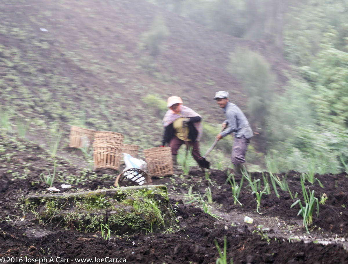
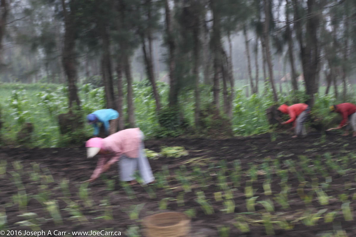
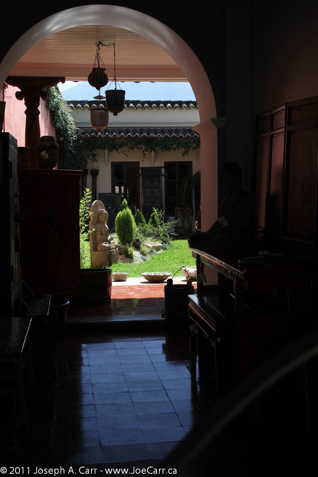
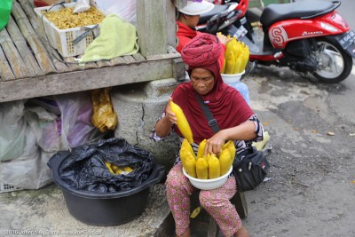
En route back to the port, we stop at a so-called local fruit and vegetable market, but it appears to be mainly a shopping stop for tourists to buy t-shirts and other souvenirs. I stay on the bus, as do several others. There are peanuts, corn, and other food being sold to the local people as they drive by on the road.

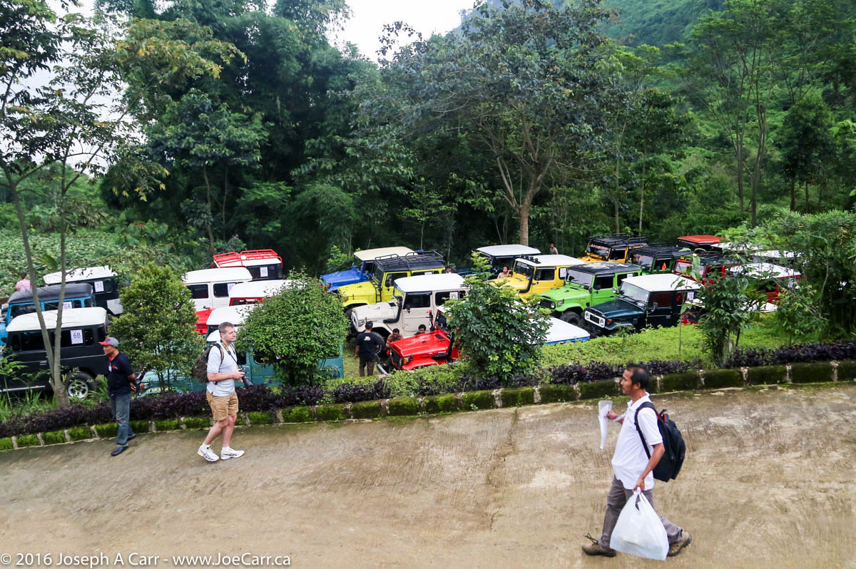
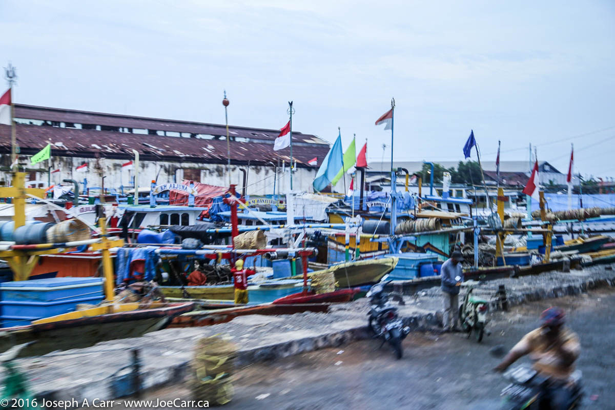
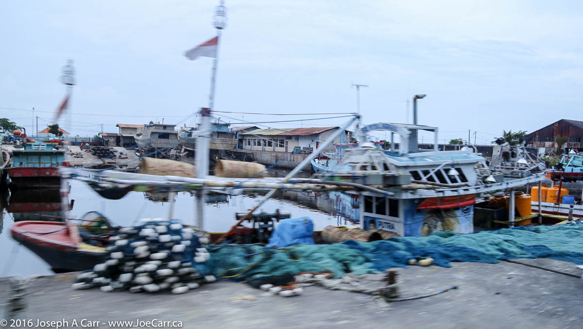
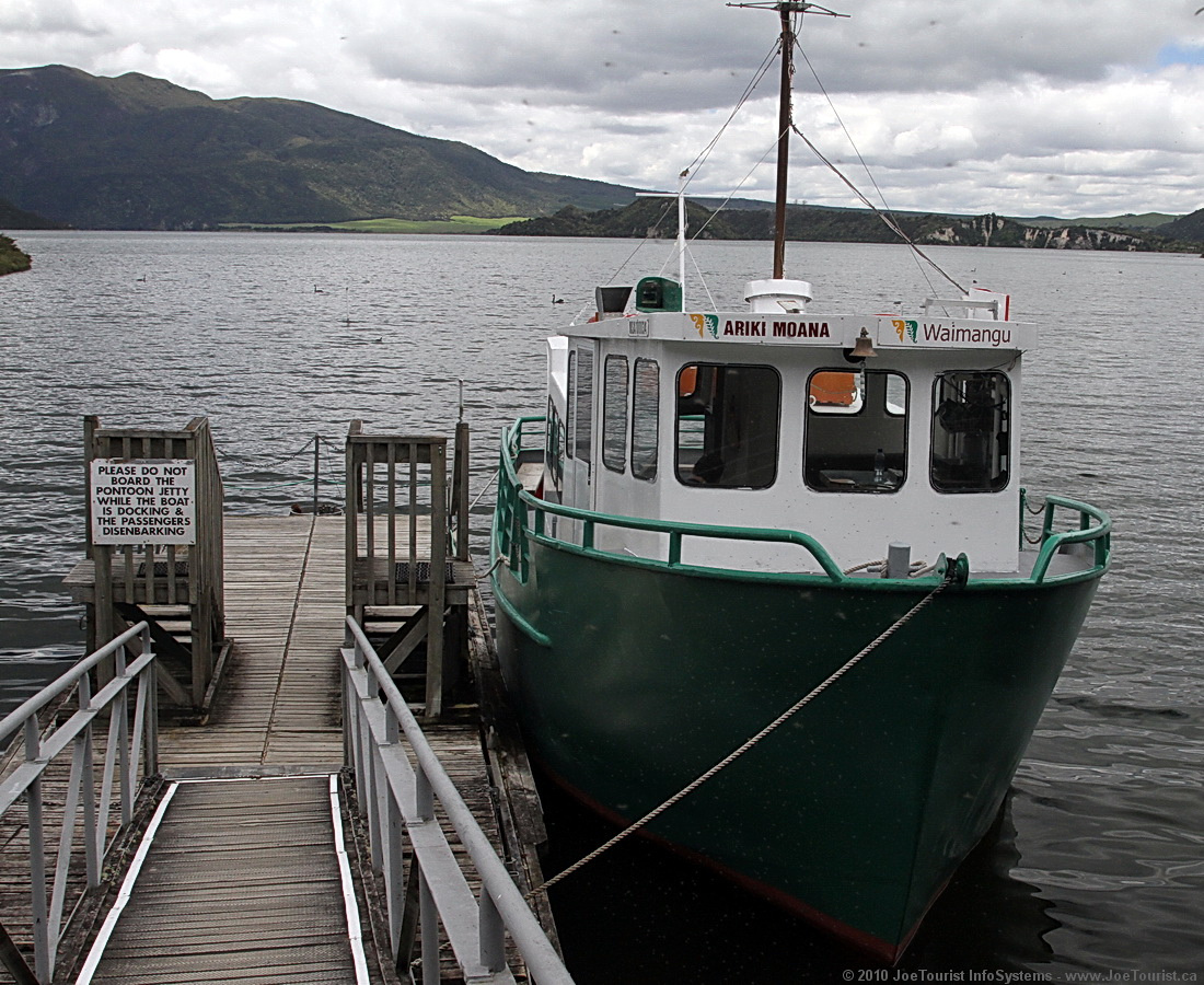
While I’m away on my excursion, the ship leaves port around Noon, and anchors out in the bay due to tides being unfavourable for our proposed departure time of about 6PM. When my excursion returns to the pier, there are several hundred passengers waiting for tenders. Apparently the currents are too strong for the ship’s tenders, so the ship has contracted with two larger and more powerful tenders to move passengers back to the ship. The operation is slow and excruciating for us as we wait in the heat and humidity. At least these tenders are large, moving at least twice as many passengers at once as the ship’s tenders. They also have nine motors on the back, so there are no problems with powering through the tidal flow!

After my return to Canada, I make a point of funding some Indonesian villagers who need to buy pigs to raise and later sell. I make micro-loans through Kiva. Hopefully some of you reading this will consider doing the same. When the loans are repaid, you get to choose a new group or individual to support who needs a bit of financial help.

post

Mt. Bromo, Java, Indonesia

March 6, 2016 – Sun – Probolinggo & Mt. Bromo, Java, Indonesia

2016 – SE Asia and Total Solar Eclipse cruise

Jeeps descending through a village near Mt. Bromo, Java, Indonesia

The ship is anchored, so we have a long tender ride to the pier in Probolinggo. The heat and humidity in the tender and on shore is oppressive, so everyone is happy to get into our convoy of big buses with air conditioning. There are several hundred people on this excursion to the Mt. Bromo volcano this morning, but thank goodness no police escorts are being used for today’s excursion, and our driver is very good!

It is a very scenic ride under overcast skies as we climb in elevation to the cooler, wetter, and mountainous centre of the island of Java. There are lots of towns and villages, Sunday markets, people working in fields. Half way up the mountain, we stop for a refreshment break in the mountain village of Cemoro Lawang and switch to Jeep 4x4s. I don’t think I’ve ever seen so many Jeeps in one place at one time before!

Mike Leung’s beautiful aerial views of Mount Bromo – used with permission

I pick a Jeep and get in the passenger seat beside the young driver, a couple climb into the back seats, and we’re off. About half way to the viewpoint for the volcano, the jeep’s engine stops, and the driver can’t get it going again. He makes a call, and the tour organizers are there in a few minutes. Ten minutes later we are picked up in a replacement Jeep, and miss nothing at the volcano observatory near the viewpoint. Although our particular group left awhile ago, we simply join another group as we make the short hike to the nearby viewpoint, which is about 2 km from Mount Bromo volcano. Due to a recent eruption, this is as close as we can safely get to the caldera. The original tour described climbing up onto the rim of the volcano, but that’s not happening today.

Cloud-shrouded Mount Bromo and the Sea of Sand, Cemoro Lawing, Java, Indonesia
Cloud-shrouded Mount Bromo (left) and the Sea of Sand, Cemoro Lawing, Java, Indonesia

It is raining lightly as we check in at the volcano observatory, so the view of the volcano is obscured, however the view of the Sea of Sand, which surrounds Mount Bromo is nothing short of spectacular. There are many colours in the sand, and it is quite beautiful. The colours remind me a great deal of the Haleakala caldera on Maui in Hawaii. We see some motorcyclists riding across the Sea of Sand towards the volcano. The wet conditions continue for the rest of the day, however after having an Indonesian buffet lunch at a local restaurant in Cemoro Lawing village, the skies clear enough to see most of the Mount Bromo volcano from a viewpoint across the street.

Mount Bromo is an active volcano and is part of the Tengger Massif, in East Java, Indonesia. At 2,329 metres (7,641 feet), Bromo is not the highest peak in the range, but it is the best known of them all. The volcano belongs to Bromo Tengger Semeru National Park. The name derives from Javanese pronunciation of Brahma, the Hindu creator god.

The performers of The scary Bromo dance troupe in Sukapura, Java, Indonesia

We drive part way down the mountain to the village of Sukapura, where the locals put on a cultural dance and musical performance the likes of which I have never encountered before. It is scary at times, as the dancers seem to be either possessed or high on something – I can’t decide which, and of course, they might possibly also be good actors/performers.

I record quite a bit of video, since I’m unlikely to ever experience something like this again. In addition to the cruise ship passengers, the local villagers are also intensely interested in seeing the performance. We have to leave before the performance is finished, but I think most of the cruise ship passengers have seen enough of this rather bizarre performance.

The Jeep 4x4s return us to the midway point, where we transfer back to the tour buses and return to the tender pier in Probolinggo. We arrive almost an hour later than the stated last tender for the ship, but obviously since this is a Holland America excursion and there are hundreds of passengers involved, they keep running tenders to get everyone back to the ship as efficiently as possible. Once we step off the tour buses, the oppressive heat and humidity on the coast hit us again as we board our tenders and return to the ship.

post

Hilo & Mauna Kea, Hawaii

2014 Hawai’i-French Polynesia cruise

February 23, 2014 – Sunday – Hilo and Mauna Kea, the Big Island of Hawai’i

The ms Statendam arrives early in Hilo, and docks at the pier in the harbour. I have some breakfast and gather up my cold weather gear for my big trip up to the summit of Mauna Kea. I disembark, find the shuttle to Harper’s Car & Truck Rental (no longer in business). and rent a 4×4 Ford Ranger truck, which Harper’s allow on the Mauna Kea access roads.

Hilo-Mauna Kea map
Hilo-Mauna Kea map

Once I’m off in my little truck, I work my way out of Hilo and drive up the Puainko Street Extension, which becomes the H200/H2000 Saddle Road. I stop to pick up some refreshments from a corner store, since I will skip lunch. I’m glad I brought along my vehicle GPS from home, which guides me through several complicated twists and turns until I get out of the city. The first half of the 45-mile drive to the summit takes me along the Saddle Road Highway (2000), a paved 3-lane road all the way to the Mauna Kea Access Road turn-off, and then up to the Visitors Information Station (VIS) on a good (but steep) 2-lane paved road all the way through ranch country.

Gravel access road to Mauna Kea above the VIS

I stay at the VIS for 45 minutes in order to acclimatize myself to the elevation change (sea level to 9,000′), and then put the vehicle into 4-wheel drive and start up the gravel road to the summit. The road surface is washboard, so having 4WD is great to keep traction and stability. A few miles before the summit, the road returns to a paved surface, since dust control is a big factor with these expensive observatories.

Canada-France-Hawaii & Gemini North observatories

There is snow on top, and the air is clear and cold. I pull on my winter coat, which I have been dragging around with me on this trip just for today’s adventure. It is wonderful to finally see all these observatories in person, especially the ones Canada is involved with. The Canada-France-Hawaii (CFHT) observatory has a prime location on the end of the north ridge, and is a beautiful, brilliant white structure. The Gemini North observatory is next to CFHT, and is a silver structure with bulging air vents all around the lower part of the dome…again, a very beautiful design.

I drive around to see all the observatories up close, but unfortunately I can’t stay for the VIS’ tours inside some of the facilities. The sky is a deep blue and crystal clear, and the observatories are stark white or silver, so I use the High Dynamic Range feature of my Canon 6D dSLR. This allows me to capture the scenes much more successfully. I shoot lots of photos, since I probably won’t return to Mauna Kea again. I can see the summit of the mountain and the trail leading to it from Gemini North, but I have to be careful to not exert myself too much while at 4,205 metres (13,792′) elevation, since the amount of oxygen available up here is less than half than at sea level.

Looking back from CFHT at all the observatories

Reluctantly, I have to return to my cruise ship, so I start the drive down the mountain, with my vehicle in low range 4WD and in 2nd gear as well. I barely touch the brakes for the whole way down the mountain until I shift out of 4WD at the VIS before returning to paved roads. The return trip to Hilo and sea level goes without a hitch. I return the vehicle to the rental company, and I’m back on board the ship a couple of hours before departure time.

post

Puerto Quetzal & Antigua, Guatemala

2011 Incan Empires Cruise

Wednesday, December 14, 2011 – Day 24 – Puerto Quetzal & Antigua, Guatemala

The cruise ship port in Puerto Quetzal is a welcome change from most of our previous ports, where we usually docked at container terminals. Today, there is a nice, clean dock, with lots of souvenir vendors, and a café and bar serving snacks and beverages, including coco loco (coconut cocktail with or without booze).

JoeTourist: Antigua &emdash; Volcan Fuego emitting smoke

We take the Antigua On Your Own shore excursion, which provides transportation to and from Antigua, a small Guatemalan town designated a UNESCO World Heritage Site. Our guide refers to Antigua as St. John, since this is the patron saint of soldiers, and the Spanish conquistadors established this town after the original site was destroyed by the nearby volcano. It takes the bus about 1.5 hours to travel from the port to the city. We pass three volcanoes along the way: Volcan Fuego and Volcan Acatenango to the West, and Volcan de Agua to the East. Volcan Fuego decides to put on a little show for us as we pass by, sending puffs of smoke skyward.

I can see that Antigua is normally a nice town to visit, however with all the cruise ship passengers drifting around, there are scores of Guatemalans selling trinkets everywhere. They are constantly after us to buy stuff, so it quickly becomes annoying. We wander the few blocks from our drop off point to the big town square with a cathedral and shops all around. There is a large tour group about to enter the cathedral, so we decide to walk a bit further to see La Merced Church, which is very ornate and very quiet, since it is off the beaten path. Along the way, we see the famous arch at El Carmen, and take photos of the Volcan de Agua framed by the Arch.

We stop to have some cappuccino made with genuine Guatemalan coffee, which has to be one of the best-tasting coffees I have had on the trip so far. I distract myself from all the persistent street vendors by giving myself a photographic assignment as we find our way back to the drop-off point: take photos of all the beautiful and ornate door knockers found on many of the big wooden doors to be found as entranceways to shops, restaurants, and inner courtyards.

post

Rotorua

Oct 31, 2010 – Sunday – Whangamata to Rotorua, New Zealand

Our B&B is located in a small community just south of Rotorua called Lake Okareka. At this location, we don’t have to put up with the sulphurous smell that is so apparent in the city, and we are hoping the light pollution may be subdued enough to allow us to take some astronomical photos of the night sky. Lake Okareka B&B is quite deluxe, and our hosts Patricia and Ken are very helpful. This B&B is now closed, but there is a new property, in the same area with the same owners.

Butter Chicken, Aloo Matar (potatoes & peas in gravy), Lamb Korma, rice and Nan bread at Lovely India restaurant

Once we unpack and have a bit of a rest, we drive back into town and have a look at the hot bubbling pools of water and mud in Kuirau Park, which is a civic park that is free admission. This evening, we go to the Lovely India Restaurant for dinner, and order the Butter Chicken, along with some Lamb and vegetable dishes with rice. The food is superb…the best Indian food I’ve had in a long time!

After returning to the B&B, Ken tells us he has found a good spot to observe the stars from. He shows us a lovely beachfront park which is only about a five minute drive away. An alternate site is the neighbour’s place next door to the B&B. They are away, so the place is dark, and it is so convenient. I setup my astronomy camera and take a time lapse sequence starting at sunset, however the clouds are factor tonight, so I call it an early night.

Nov 1, 2010 – Monday – Rotorua

Patricia makes us a continental breakfast each morning, accompanied with a savoury frittata. This is the only B&B who have a super automatic espresso machine, so I take advantage and have two Cappuccinos each morning!

Pukeko bird on the Lake Okareka Walkway

Today is a down day, which means no activities involving driving. I catch up on my JoeTourist blog, sort through the hundreds of photos taken so far on the trip, do some laundry, and take a long walk around part of the lake. The Lake Okareka Walkway is a boardwalk over a marshy area of the lake where the wildlife are protected, so there is ample opportunity to see marsh birds such as Black Swans, ducks, Pukeko birds, and many other birds, including their young.

We drive into Rotorua for dinner, and after wandering around for a while, settle on Café Ephesus (now closed). This small, unpretentious restaurant is run by some Indians, but offers mainly a Greek menu with some Middle Eastern influences. We have a very nice dinner of a mixed Greek platter and a pizza, which we share around. We also buy a bottle of wine from a vendor across the street and bring the bottle to the restaurant. “Bring your own” is quite common in New Zealand restaurants – not something that is encouraged in North American eating establishments!

This evening after dark, both my friend and I setup our camera gear again on the hill beside the B&B. It is quite cool this evening, so I leave my camera clicking away and retreat back to the warmth of my room at the B&B. I shoot a wide field time lapse video of the Crux-Centauri region: Alpha and Beta Centauri slowly slide below the hill while the bottom star of the Southern Cross moves north along the ridge line. Eta Carina is visible in the frame for the full duration of the video from 9:50pm to 11:45pm. This time of year is not ideal to observe the Southern Cross, since it is upside down and low in the sky. The Milky Way is clearly visible as a wide band of red visible behind the hills.

Southern Milky Way from New Zealand – a time lapse from JoeTourist on Vimeo.

Nov 2, 2010 – Tuesday – Rotorua – Waimangu Volcanic Valley

We drive the 17 kilometres south to Waimangu Volcanic Valley, which offers a very special experience with volcanic pools. Although publicly owned, this park is run by a private operator, so admissions are charged. We choose the self-guided EcoTours, since we feel it offers the best value: Walk/Hike and Boat Cruise option at NZ$77. Please note that discounts are offered, so check out the website and ask for the discounts at the admission booth.

Walking the 4.7km from the entrance to the lake jetty takes us about two hours at an easy pace. The slope in this direction is generally downhill, with a few steep grades and the occasional uphill section. Anyone who can normally walk this distance on flat ground should have no problem with this walk/hike. Be sure to take water and a snack with you, since there are restrooms, but no refreshment stands along the way. If you get tired, there is a shuttle bus you can catch in two spots mid way, as well as at the end where the boat jetty is located. We also take the boat tour of the big lake located at the end of the trails – Lake Rotomahana. It is worthwhile if for no other reason, to appreciate the sheer scale of the largest volcanic eruption which took place during human recorded history – Mount Tarawera in 1886.

Hilo, Hawai’i

October 20-24, 2009 – Hilo, the Big Island of Hawaii

Hilo is on the east coast of the Big Island of Hawaii. which is the wet side of the island. Although the temperatures are nice and warm, it rains in Hilo virtually every day, and the area has the tropical vegetation to prove it. Hilo is a contrast to Kailua-Kona on the other side of the Big Island, since it is less tourist-oriented, giving the visitor a glimpse of the Old Hawaii.

Kilauea Volcano is less than one hour’s drive south from Hilo, so I made several trips to see the sights in Volcanoes National Park and nearby areas in my rental car.

The North Coast of the Big Island is rugged, tropical, and mostly inaccessible, however the road along the coastline north from Hilo provides easy access to some of the gulches and valleys, rivers and streams, spectacular waterfalls, and of course the coastline itself before the road veers off to Waimea. Stopping along the way will provide you with a glimpse of how Hawaiians live day-to-day.

The Imiloa Astronomy Center is located in Hilo, and presents astronomy to visitors using interactive displays, a planetarium, special exhibits, and ties astronomy to Hawaiian customs and culture. Imiloa is run by the University of Hawaii on behalf of the big multi-national observatories located atop Mauna Kea. Worth a half day visit. Admission charged.

Hilo Bay & the shoreline along Kalanianaole Avenue presents fascinating vistas of the geography surrounding Hilo, so it is a good idea for visitors to familiarize themselves with the bay and the Pacific Ocean beyond. There are numerous civic parks along Kalanianaole Avenue, and all are only a few minutes drive from anywhere in Hilo. Tidal ponds provide safe and easy access for everyone to play in the ocean, while just a few metres away are rocks and surf to challenge even the most capable swimmers and surfers. Coconut Island, Banyan Drive and Liluokalani Gardens are all interesting destinations worth spending some time at…in fact, take a picnic lunch (“sack lunch” in Hawaiian), and plan to spend the day exploring Hilo Bay.

Rainbow Falls and Boiling Pots Pools are both located right in Hilo on the Wailuku River, which flows into Hilo Bay. Although not as spectacular as other falls and rivers you might find on the Big Island, they are easy to get to, and certainly worth a look.

Despite being an amateur astronomer, I didn’t manage to visit the Mauna Kea Visitor Center. It is a fairly easy drive from Hilo, and offers free nightly star gazing from this station located at the 9,500′ level on Mauna Kea. Please note, the big observatories are not located here – they are near the summit at the 14,500′ level! If you plan to go to the Visitor Centre, take a winter coat and check their website to ensure the weather will be clear. It may be raining in Hilo, but it could easily be clear on the mountain (or vice versa). I did visit the top of Mauna Kea and the observatories a few years later in 2014.


JoeTourist: Hilo &emdash; Breakfast at the B&BOctober 20-23, 2009 – I stayed at the Old Hawaiian Bed & Breakfast for four nights. The place is situated in a nice part of town near the Wailuku River, and is owned and operated by Lory & Stewart Hunter. Lory’s superb breakfasts are served on the lanai (patio), and include fresh fruit smoothies, fresh baked pastries, cooked eggs, tropical fruit cocktail, and of course, Kona coffee. There are three rooms to choose from, and all guests share access to the large lanai, telephone, fridge, microwave, and high speed wireless Internet. There are no televisions in the rooms, so bring a notebook computer if watching videos or the news is important to you. JoeTourist recommended.

Molokini Islet Snorkel

Molokini, an islet just off the coast of Maui, Hawaii

Molokini Islet - a satellite image

Molokini Islet – a satellite image

Nov 26, 1995 – The Islet of Molokini is located off the southwest coast of Maui, and is formed from the tip of a volcano, which just breaks out of the water. The island is a crescent shape, and forms a beautiful lagoon inside, where lots of fish congregate.

Snorkel cruises to Molokini abound, and we decided to take the Prince Kuhio, a 92 foot mono-hull diesel-powered cruiser (no longer running). There are many, many cruises offered to Molokini, (both power and sail, and mono-hull, catamaran and trimaran) so you should find one that suits your taste in boats.

Our itinerary included an early morning pickup from our condo, then we departed from nearby Maalaea Bay for the islet of Molokini. A breakfast of juice, coffee, muffins and fruit is served buffet-style, while we make our way to the island. After arriving at the island mid-morning, the boat is tied to mooring anchors set in the lagoon, and we are off snorkelling.

All equipment is provided. You must be able to swim, since the lagoon is about 50 feet deep, however swim boards are provided for those who lack confidence, or who are weak swimmers. The shore of Molokini is very steep, and consists of very rough lava rock. It is not recommended that snorkelers swim ashore, since it is difficult to climb ashore, and there are strong currents near shore. The ship’s crew is in the water with you at all times, and are ready to assist you, should you need help.

Snorkelling time available is about 2 hours, however we were tired out after about an hour and a quarter. While there, we had our adventure video taped by one of the crew. This is a good idea, since taking pictures underwater is tricky at best, and these professionals do a good job – giving you an excellent, personalized souvenir of your trip to Molokini. The video is edited onboard, and is ready for you when you depart a few hours later. Not expensive.

It is quite a thrill to get close to tropical fish. Of course, with that many boats (30 or so) going to Molokini every day, the fish are well rehearsed! They expect to be fed once the boats arrive, and they swarm around the snorkelers as soon as you enter the water.

The Prince Kuhio (and some other Molokini boats) offer as an extra cost option Snuba gear. This is a cross between snorkeling and full scuba gear. With Snuba, you don’t need to be previously certified for scuba diving. Snuba instruction is given onboard and in the lagoon. The tanks are floated on a raft on the surface, and air supply hoses are ganged off these tanks to the Snuba divers below. This allows you to go to the bottom of the lagoon, whereas snorkelers are confined to the surface, and can usually only dive down 10 feet or so for short periods of time. I can’t see the benefits of Snuba, since the fish are all near the surface anyway. Not recommended.

As we were pulling into Maalaea Bay at the end of our return trip, we spotted some large turtles in the bay – an added bonus to the trip! Apparently, the turtles nest ashore in the nearby salt flats. We were back at our condo by mid-afternoon.

Some thoughts…

Even if you don’t swim or don’t feel like snorkeling, this trip would be well worth taking. Molokini cruises offer good value for a day out on the water. Depending on the season, you might also see turtles (as we did), or Humpback Whales. Recommended.

The water at Molokini is quite cool, as compared with the water temperature you find on the Maui beaches. I would guess the water temperature is between 72 and 74 degrees Fahrenheit. If you do not have much body fat, you may find that you cannot stand to stay in the water for more than 15 minutes or so. If you start to shiver while in the water, return to the boat, immediately dry off, and warm yourself up. Don’t hesitate to ask the ship’s crew to assist you, if you need it.

The trip to and from Molokini can encounter some ocean swells. If you are prone to sea sickness, take your medication before leaving.

What you should take:

  • a bathing suit (duh!)
  • waterproof sunscreen
  • sun glasses
    underwater camera
  • towel
  • change of clothes
  • hat
  • light jacket or sweater
  • cash ($20 or so)

What you should LEAVE BEHIND:

  • wrist watch (enjoy yourself…who cares what time it is!)
  • expensive jewelry (you won’t impress anyone when you’re dripping wet anyway)
  • passports, and other important documents (there are no immigration officers on Molokini)
  • fancy clothes (you will stick out in the t-shirts and shorts crowd)
  • large amounts of money (nowhere to spend it)
  • your expensive camera (you probably don’t have an underwater case for it, and even if you don’t get it wet, salt spray will find it’s way onto your camera, no matter how careful you are)

What is supplied/included:

  • all food and drink (buffet breakfast and lunch – liquor extra)
  • snorkelling equipment
  • transportation to/from your hotel/condo from Kihei, Wailea, or Kaanapali
  • cheap champagne on the return trip (we added fruit juice to ours, to make it drinkable!!)
  • bilingual staff – English and Japanese

Haleakela, Maui, Hawaii

Nov 26, 1995 – Haleakela volcano, Maui, Hawaii

The drive from our condo in Kihei to the top of Haleakela and back – an easy half day trip. Haleakala volcano is 3,058 metres (10,033 feet high). Driving to the summit will take about two hours from Kahului, assuming you take your time to see the sights along the way. Give yourself an extra 20 minutes if you are traveling from Kihei or Wailea, or give yourself an extra 45 minutes if you are driving from Lahaina/Kaanapali. The road is paved the whole way, although the upper half of the route has many hairpin turns and is quite narrow. Haleakela National Park charges a modest per car fee, which is collected at a toll booth on the way up the mountain.

Make sure your car has a full tank of gas and check all fluid levels before you leave. There are no service stations once you pass Pukalani on Highway 37, so it is up to you to ensure your vehicle is in good condition. Speaking of being prepared – you should take some snacks and drinks with you. Although there is a restaurant and lodge in Kula on Highway 377, most visitors get hungry or thirsty while up on the summit, so bring food and drinks with you. Leave yourself at least a half hour to experience the strange sights from the summit.

The weather on the summit is not easily predictable. It can be sunny or rainy – or both! Keep in mind, you are at 3,000 metres elevation, so the air temperature will be quite cool. Take a jacket. Likewise, it is impossible to predict whether you will be able to view the scenery of Maui from the summit or not. Obscuring clouds come and go…just because you see clouds while driving up the mountain, doesn’t mean they won’t clear by the time you reach the summit.

There are many unusual and contrasting colours at this elevation, so take lots of pictures. Compare my photos of the crater taken in 1983 with the ones taken of the same area in 1995. There are some interesting cinder cones inside the crater.

Although there are observatories and repeater stations on the summit, there is no access permitted to this area. There are some spectacular silver sword plants to see, depending on the season. Please remember – don’t touch. The ecology in Haleakala National Park is very fragile. Please observe signs which restrict access to certain areas used by the nene, or native Hawaiian goose.

On the way up, observe the transitions through several ecosystems – from the tropical valley floor, through the temperate forests on the lower slopes, to grasslands on the middle slopes. The higher elevations have very little vegetation, except the hardiest of plant varieties.

You never know what you will encounter on these trips. Who would have thought that a Viper sports car would be parked at the top?

One last warning – traveling from sea level to 3,000 metres (10,000 feet) so rapidly is hard on the human respiratory system. If you have a heart condition, or have respiratory ailments, think twice before making this trip. Hardly a day goes by without an ambulance having to take someone down from Haleakala. Even healthy individuals will find that the rapid climb to the summit can cause “fuzzy” sensations, feelings of slight nausea or loss of balance. While on the summit, take it easy. Walk slowly (even if you feel OK), and sit down for short rests on the benches provided. Haleakala is well worth seeing, so make sure you are one of the 99% of visitors who enjoy this unique experience.

For the more adventuresome, there are many activities available within the Haleakala crater: hiking trips (3 cabins are available, reservations required), ranger-guided walks and hikes, concessionaire-guided trips through the crater, short, self-guided walks, and camping at Hosmer Grove Campground.


Although I have concentrated on the Haleakala Crater portion of Haleakala National Park, there is a second section to the park – the Kipahulu area. This coastal area can be reached by driving the road to Hana (Highway 360), and going past Hana on Highway 31 to the Oheo Gulch (Seven Pools) area. Hiking, swimming, camping, and picnicking is available in this area. Facilities at Kipahulu are primitive. Neither drinking water nor modern restrooms are available. If you are considering going to this area, check with the park administration first. Car rental agencies may prohibit the use of their vehicles on Highway 31, so check before you go.