post

South Dempster Highway

August 5, 2025 – Tombstone – Dempster Highway from Dawson City, Yukon

2025 Yukon & Northwest Territories

Tombstone & Oglivie Mountains – South Dempster Hwy

As we drive to the start of the Dempster Highway, our local guide shares that the Klondike Highway to Dawson was built in 1953. Previously, traffic between Whitehorse and Dawson City used river boats during warm weather and a wagon road was used in winter. As we cross the Klondike River bridge and start our journey north on the Dempster Highway, she tells us the story of The Lost Patrol – the ill-fated mission to Fort McPherson by an experienced North West Mounted Police dog sled team that lost their way in the winter of 1911. All froze to death on this very route we are on.

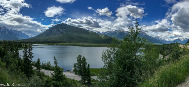
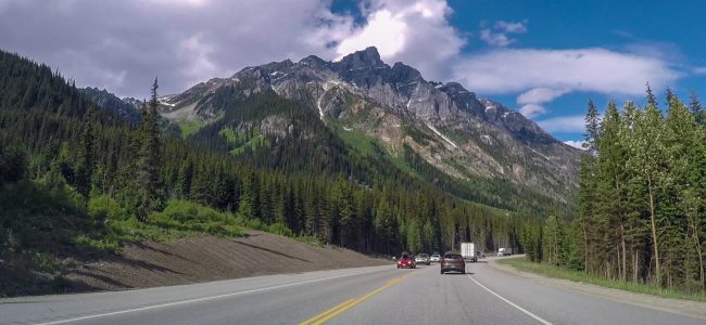
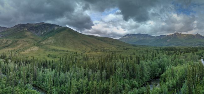
This southern section of the gravel, all-season Dempster Highway follows the North Klondike River, however the highway continues all the way to Inuvik and onward to Tuktoyaktuk in the North West Territories. Legends are shared about pioneers Joe and Annie Henry, who lived at Wolf Creek, which is in the area we drive through today. The Oglivie Mountains are spectacular in the summer light along this route. By noon we arrive at the Tombstone Territorial Interpretive Centre and Campground, where we have a rest break and a picnic lunch. I pop my drone up to capture some panoramas and video of this beautiful area.

After lunch, we continue north through the beautiful Blackstone Valley, arriving at Two Moose Lake at 1:30pm, the most northerly point in our drive today. On our return drive south, we stop at the Tombstone Mountain lookout, where we catch glimpses of that iconic mountain to the south through the heavy clouds. We continue south, arriving back in Dawson City in the late afternoon. Despite the overcast skies and a few rain showers, it was great to experience “The Dempster” as this route is referred to by locals. Our bus is covered in mud from this gravel highway, so our driver has to make a trip to the local vehicle wash!

Dawson City

I have drinks and dinner with a couple from our tour group this evening. We start at Bombay Peggy’s for Naughty martinis: Midnight Cowboy (cacao & espresso), Bloomer Remover (classic gin martini) for me, and a Big Speak (cranberry). Although expensive, all three cocktails meet our exacting standards in this funky bar with a history! We decide on the Drunken Goat Taverna – Greek Couzina for dinner. We sat with others from our group as we enjoyed the tasty food on the street-side patio.

Joe with 3 martinis
post

Whitehorse to Dawson

July 31, 2025 – Whitehorse to Dawson City, Yukon

2025 Yukon & Northwest Territories

I have a substantial breakfast this morning and grab a muffin for our long road trip to Dawson City on the Klondike Highway 2. We leave at 8:10am without one couple and our tour director. Alastair is staying with the couple until the man who is suffering a medical incident is transported to hospital. He will then fly to Dawson to catch up with the group, so our bus driver Harold will lead the group today. We see new housing developments as we leave Whitehorse: new subdivisions, schools, commercial buildings and roads are being built in Whitehorse.

Points of interest on the road trip

  • Lake Laberge – I catch a glimpse of this famous lake (The Cremation of Sam McGee – Robert Service) through the bus window
  • Fox Lake – a long lake parallel to the highway
  • Braeburn Lodge – our first rest stop, where giant cinnamon buns are sold for $20 each! There is an airstrip on the other side of the highway.
  • Montague Road House – a rest stop which was part of the overland trail between Whitehorse and Dawson City

  • Carmacks – a rest stop with a general store, gas station, hotel and restaurant, where the highway crosses the Yukon River
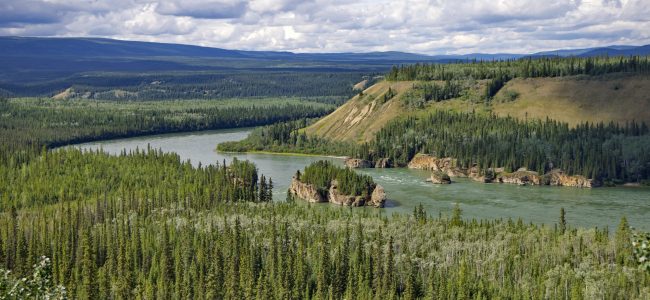
  • Five Fingers Rapid – some members of the group hike down the steep stairs and trail to the rapids. I stay at the observation platform to fly my drone, capturing some panoramic photos and video of the river, valley and rapids.
  • Minto Landing RV – we stop for lunch by the river at this new RV park, which is still being developed. Our driver Harold is conscripted to serve the soup!
  • Pelly River Crossing – a rest stop with a general store and gas station, and 5G mobile reception! The highway is no longer following the Yukon River.
  • Stewart Crossing – a rest stop where the highway is now following the Stewart River.
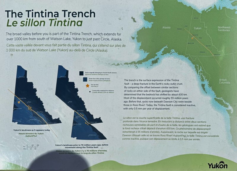
  • Gravel Lake – rest stop where the highway is on the southern side of a broad valley. The Tintina Fault runs through this area of the Yukon from Circle, Alaska to Watson Lake.
The Tintina Fault runs from Circle, Alaska to Watson Lake, Yukon. The SW corner of Yukon landmass shifted 1,000 km 55 million years ago. Yukon government information sign at Gravel Lake.
We are staying at the Triple J Hotel and Cabins in Dawson City. I join some other tour group members for dinner and a beer in the hotel restaurant. Despite being a modest establishment, the food and service are good. After dinner, I go for a walking tour of historic Dawson City, since it is still daylight at 11PM!

post

Okanagan to Vancouver

July 8, 2018 Sunday – Okanagan Falls to Burnaby, British Columbia, Canada

Victoria to Calgary road trip 2018
Okanagan Falls and Skaha Lake

After another scrumptious breakfast at Peachcliff B&B, I fly my Mavic Pro drone above the B&B, taking high definition video and photos of Peachcliff, the Okanagan Valley, Skaha Lake, Okanagan Falls, and I also capture the cyclists riding in the Prospera Granfondo Axel Merckx event this morning, which my friend and his son are riding in.

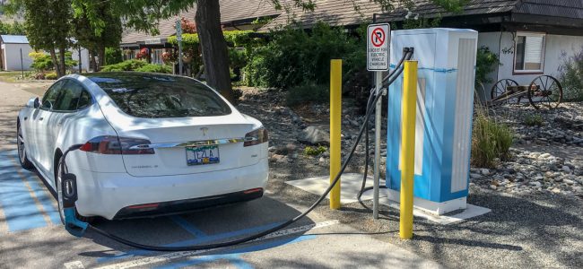
I leave at 10:30AM after most of the serious riders are clear of the route, however it is slow going as I head north out of Okanagan Falls to the turnoff onto Highway 3A to head south to Keremeos. Once I’m on 3A it is an easy drive. I recharge my Tesla at the Keremeos Fast DC charger for about a half hour (see banner image above) before continuing to Highway 3 through Princeton and Manning Park. I recharge at the Tesla Supercharger at Hope and indulge in another small Blizzard frozen dessert from Dairy Queen, which is right next door!

The drive from Hope to Burnaby on the Trans-Canada Highway is very stressful, since the traffic around Abbotsford and Langley in the Fraser Valley is quite heavy despite it being a Sunday afternoon. Once I cross the Port Mann bridge into Coquitlam and Burnaby, traffic improves. I find my way through Burnaby to my Best Western Plus hotel on Kingsway and check in by 6PM. I’m very tired as I settle into my room, and then meet a friend for dinner at Minoa’s Greek Taverna (review) down Kingsway a few blocks. It’s great to reconnect with my friend again – we both attended BCIT together (Photogrammetry & Surveying) way back in the 1970s! The food and service at this Greek restaurant is excellent  as usual.

post

Calgary to Revelstoke

July 5, 2018 Calgary, Alberta to Revelstoke, British Columbia, Canada

Victoria to Calgary road trip 2018

I take my time leaving Hotel Alma this morning. Traffic is light as I drive west from Calgary through the Foothills and the Kananaskis area to Canmore, where I stop to recharge my Tesla at the Supercharger. I grab a cappuccino from Beamers Coffee, which is about a 7-minute walk south of the Supercharger. Back at the Supercharger, while enjoying my coffee I take a photo of the old Moon over the south end of Mt. Rundle before resuming my drive.

A bird-of-prey flying in front of Castle Mountain

The very popular Castle Junction rest stop offers the classic view of Castle Mountain, the Sawback Range and the Bow River. I use three different focal lengths of lenses with my dSLR to capture the scene (see banner image above for cropped fisheye view). I discover later that my telephoto shot of Castle Mountain also captured a raptor in flight near the mountain – bonus! I pull into the rest stop at Eldon in Banff National Park for a rest and to have some lunch. Before resuming my drive, I take a panoramic photo of Castle Mountain from this viewpoint – there is spectacular scenery everywhere you look in the Canadian Rockies!

My Tesla Model S charging at the Golden Supercharger

I recharge at the Golden Supercharger for a half hour before driving Rogers Pass to Revelstoke. Tackling the highway construction westbound doesn’t seem as bad as the eastbound experience. This is the second-longest driving segment for my road trip, so I’m tired by the time I arrive in Revelstoke later in the afternoon.

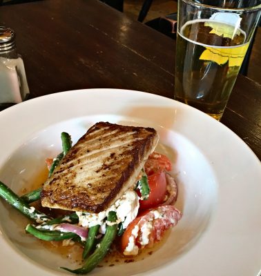
Pan seared pacific halibut atop a warmed salad at the Village Idiot Bistro
Pan seared pacific halibut at the Village Idiot Bistro

I’m staying at the Swiss Chalet Motel in Revelstoke on the main drag: Victoria Ave. The Village Idiot Bistro is recommended by the desk clerk, so I go there for dinner. It’s a very casual place with a patio going full bore since it is about 27°C downtown. I sit inside out of the sun and have a High Country Kolsch draught (Mt. Begbie Brewery). It is kind of sweet, but it’s a good summer beer that goes well with my grilled halibut which is excellent, and is served with grilled tomatoes, green beans, onions, and goat cheese – a very heart-healthy choice.

I have a Standard Queen Room in the motel, which is small, but nicely updated with a Queen bed, fast Internet, full bathroom, and air-conditioning. Each unit has a parking spot right outside the door, and the office doubles as the breakfast room. The motel is centrally located – it’s an easy five minute walk to the railway museum, and a 15-minute walk to the shops downtown. There is free parking downtown if you drive.

post

Golden to Calgary

June 28, 2018 – Golden, BC to Calgary, Alberta, Canada

Victoria to Calgary road trip 2018

After eating the very modest continental breakfast the motel offers, I drive across the street to charge at the Tesla Supercharger in Golden. I pickup an acceptable cappuccino from the nearby MacDonald’s drive-thru before starting my journey. This is one of the shorter road trip segments today, which I planned to allow me to enjoy the scenery along the way through Yoho and Banff National Parks and the Kananaskis area on my way to Calgary. The Canadian Rocky Mountains are awe-inspiring on this beautiful sunny day as I take my time along the route.

Flying drones in national parks is prohibited in Canada, so I wait until I’m out of Banff National Park near Canmore before launching my drone, and capturing some beautiful panoramic photos and video of Mount Rundle and the Bow River. I stop to recharge my Tesla Model S at the Canmore Supercharger, and have a quick bowl of soup at Craig’s Waystation restaurant before continuing down the valley and emerging from the Foothills and onto the flat prairie farmlands east of Calgary.

I am staying at the Hotel Alma on the campus of the University of Calgary, which is easy to access from the Trans-Canada Highway. As I park in front of the hotel, I meet several astronomy buddies even before I check-in. The hotel arranges for me to charge my vehicle at the Level-2 chargers available on the campus in Lot 22, which I take advantage of a couple of times during my week-long stay.

JoeTourist: Rural southern Alberta &emdash; First Nations dancing at the opening of the General Assembly

The RASC General Assembly registration desk is setup in the hotel lobby, so after I get settled in my room, I go downstairs to pick up my delegate’s package. I connect with a few people I know in the lobby while we wait for buses to take us to the Members’ Welcome BBQ dinner and First Nations performances at the Rothney Observatory, in the country south of Calgary. We also get to tour the observatories operating from this site.

post

Merritt to Golden

June 27, 2018 – Merritt to Golden, British Columbia, Canada

Victoria to Calgary road trip 2018

I’m up just after 7AM, get cleaned up and go downstairs for breakfast. Afterwards, I try to fly my drone from the parking lot, but the whole of Merritt is a no-fly-zone since the airport is nearby. I spend about a half hour across the highway at the Tesla Superchargers at the Best Western Plus hotel before starting my drive north on Highway 5. This is my longest road trip today, driving a total of 446 kms over 6 hours elapsed time.

First stop is Kamloops Visitor Centre, where I charge the car at one of the four Tesla Superchargers. This takes about 20 minutes, so I have time to get a cappuccino at a Blenz in the Aberdeen Mall across the street, I leave Kamloops eastbound on the Trans-Canada Highway 1, heading to Salmon Arm, where I have a quick lunch at a Tim Hortons before proceeding to the Revelstoke Supercharger. I get my fastest charge rate so far at that location, but have time to walk to a Starbucks for a cappuccino.

First of 5 snow sheds eastbound through Rogers Pass

After leaving Revelstoke, I drive over the Rogers Pass to Golden, where I am staying overnight. Highway 1 through Rogers Pass is dotted with construction zones where they are repaving. I wait about 20 minutes at one location. The snow shed lighting is also being worked on, so it is slow going. Despite all the construction and delays, Rogers Pass is always spectacular, and today is a lovely sunny day, so the mountains and valleys live up to all my expectations.

After driving all day, I am exhausted by the time I get to Golden. Since it is 6PM, I go to a nearby Boston Pizza and have a beer and some lasagna for dinner, and then check into my motel. I am staying at the Ponderosa Motor Inn, which is a very modest motel. It is clean, but they obviously cater to work crews and truck drivers, since it is located on a highway access road, instead of being downtown. I wouldn’t stay here again, but there’s really nothing wrong with the room: it’s clean, quiet, and everything works.

post

Victoria to Merritt

June 26, 2018 – Victoria to Merritt, BC, Canada

Victoria to Calgary road trip 2018

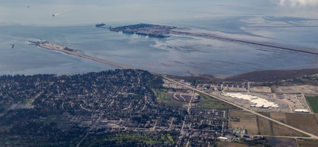
I’m pretty well packed for my road trip to Calgary, which starts this morning. My partner and I packed a 14” Meade SCT telescope in the back of my Tesla last night. It just fits in the back with the back seats still upright. I jam other stuff around the telescope so it won’t move when I’m underway. My travel bags, snacks, drinks, and camera gear go into the back seat. I have a medical appointment this morning, but arrive at the ferry terminal at 12:10PM, identify myself as a senior in order to get a free passenger fare on BC Ferries, and get on the 1PM sailing to Tsawwassen (see banner image above). I grab a Cobb Salad from the snack bar and have lunch in a quiet area of the ship. The Strait of Georgia is calm as we cross to Tsawwassen, arriving on time at 2:35PM.

Driving Highway 17 along the Fraser River to Surrey is a stressful start to my road trip since it is so congested with trucks. The Langley section of the Highway 1 freeway is under construction, so it isn’t much better, except as an electric vehicle I can use the temporary HOV lane to bypass some of the congestion. Once I get to Mission/Abbotsford the traffic starts to speed up and thin out a bit, and past Chilliwack is easy going all the way to Hope.

My Tesla Model S at the new Fast DC charging stations at the Britton Creek Rest Area on Hwy 5

The Hope Supercharger is located right downtown, so while my car charges for 40 minutes, I go next door to the Dairy Queen and splurge on a small Blizzard. Hope is a very run-down town, so I’m glad to get out of there and onto the Coquihalla Highway.

The speed limit is now 120 kmh along most stretches, so that combined with the steep climb out of Hope to the Summit means my Model S is using 450 watts/km of energy, as compared with about 200 watts/km in the city or on flatter sections of the highway. Of course, I get some regeneration on the descent from the summit, and the stretches on the last half hour along the Nicola Valley into Merritt are much flatter. I stop at the Britton Creek Rest Area to have a look at the pair of Fast DC chargers and a Level 2 charger for electric vehicles. This allows shorter range electric vehicles to now make use of Highway 5. Previously they had to stick to Highway 1 or 3.

After checking into the Comfort Inn in Merritt, I meet a fellow amateur astronomer to transfer the telescope to his car. I’m glad to get rid of that beast, so I have more room in my car. The hotel appears to be brand new, and is located right beside the highway and airport. It is quiet and well-run.

post

Jebel Shams to Muscat

February 21, 2015 – Saturday – Jebel Shams to Muscat

2015 Gems of Arabia

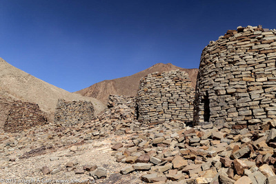
JoeTourist: Jebel Akhdar &emdash; Beehive tombs on the ridgeline
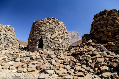
Beehive tombs on the ridgeline at Al Ayn

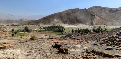
After driving down the steep roads from Jebel Shams, we visit the beehive tombs at Al Ayn.These tombs are about 5,000 years old, although not much is known about them. This means the necropolises were built in the same era as the Egyptian pyramids. The tombs are fascinating and quite photogenic, however as we descend from the ridge to return to our 4x4s, the wind picks up and a sand storm blasts everyone as we hurry to get back inside our vehicles.

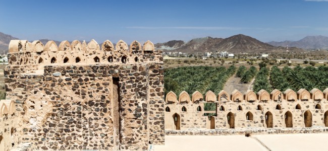
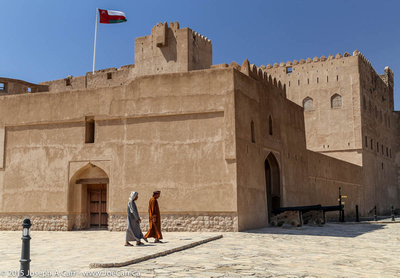
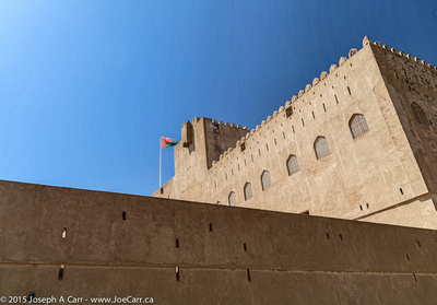
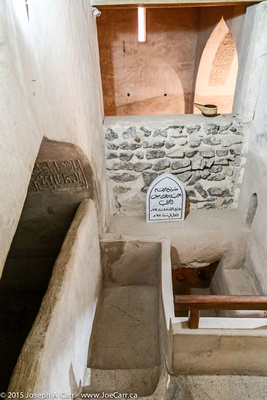
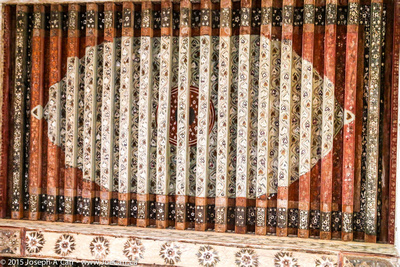
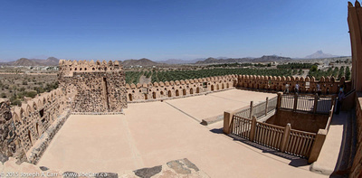
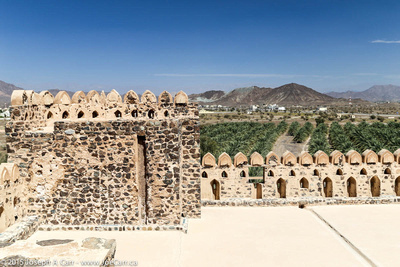
Next stop is Jabrin Castle, which was built by the Yaruba dynasty Imam Bil’arab bin Sultan, who ruled from 1679 to 1692. This is without a doubt the most impressive castle or fortification we have visited in Oman. It is a UNESCO World Heritage Site, is beautifully restored, and is surrounded by groves of palm trees in a lush valley. The castle has impressive wooden painted ceilings in some rooms.

After driving back along the highway to Muscat, we say goodbye to our driver Ali, who drops us off at the City Seasons Hotel. He has been an excellent driver; taking us over sand dunes at Sharqiya Sands, along back roads to Bedouin camps, and zooming up and down both expressways and mountain roads. It has been a wonderful driving adventure in our 4x4s over the last five days. Tomorrow, we return to Dubai by bus for our final day in Arabia before returning home.

post

Nizwa

February 20, 2015 – Friday – Nizwa to Jebel Shams

2015 Gems of Arabia

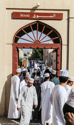
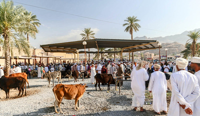
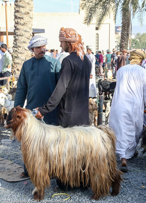
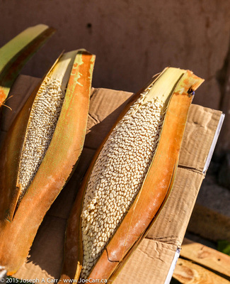
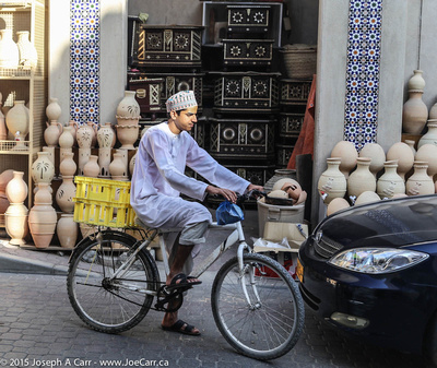
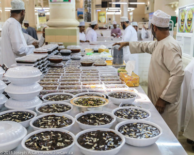
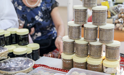
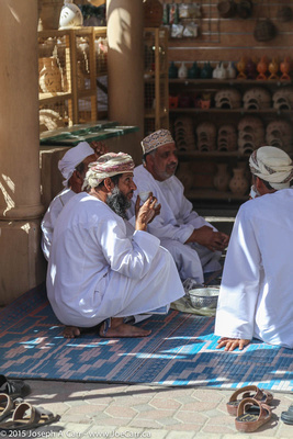
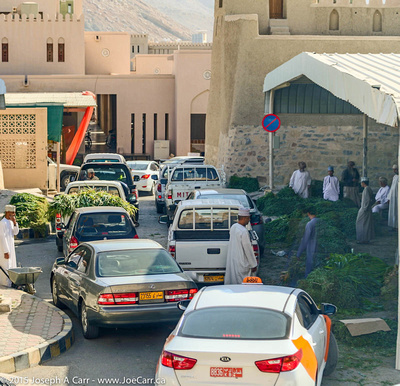
It is another full day today, beginning with a visit to yet another souq: the Nizwa Souq. This souq is perhaps the most interesting of them all, since it is huge, and offers an amazing variety: cattle and goat market, butchered meat, fruit and vegetables, silver jewelry (especially silver khanjars – traditional daggers of Oman) and crafts. The Halwa shop (Omani sweets) is undoubtedly the busiest place in the whole souq. However, there are no camels at this livestock sale. In addition to the large number of locals, there are lots of tourists at the souq…and everyone arrives early!

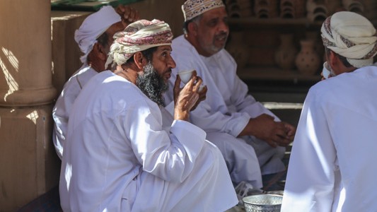
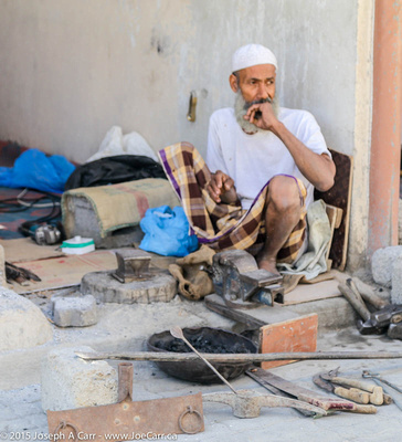
I have lots of time to people watch, and yet I see only one woman the whole time I’m there. Omani men (and their sons) are doing the shopping, at least at the souq. Nizwa’s fort is on the edge of the souq. It was built in the 17th century, and dominates the city with a 40 metre (125 foot) high huge round tower. I walk the back streets to see where the residents live. It is considerably quieter away from the souq, and the city appears to be very well developed, and offers its residents a good quality of life.

The oasis at Al Hamra

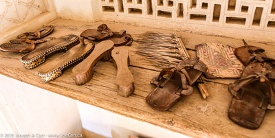
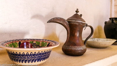
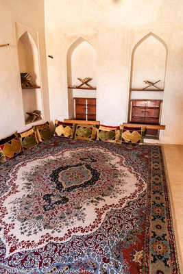
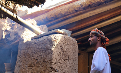
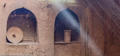
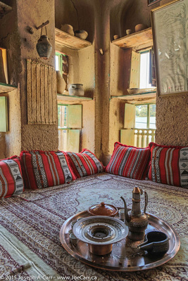
After leaving the souq, we visit the oasis village of Al Hamra, at the foot of the Hajar Mountains. This village is one of the oldest in Oman, and has a well-preserved row of two- and three-story mud-brick houses built in the old Yemeni style. We visit a traditional Omani house (Beit al-Safa) and have lunch in the oasis.

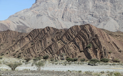
After leaving the oasis, we climb 2,000 metres up the tallest mountain in Oman, Jebel Shams. We are staying at Jebel Shams Resort, situated across the road from Wadi Ghul, the Grand Canyon of Arabia.

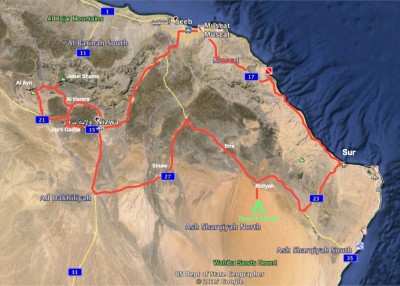
Map of our 4x4 drives in Oman,
Map of our 4×4 drives in Oman,
post

Jebel Akhdar

February 19, 2015 – Sharqiya Sands to Nizwa

2015 Gems of Arabia

A camel in the back of a pickup truck & a goat being led away at the Sinaw Thursday Souq

We depart our desert camp early this morning for Sinaw, whose Thursday souq attracts many Bedu from Sharqiya Sands. Omani women who are Bedouin have more visible social roles than other Omani women. They wear brightly coloured costumes with peaked masks and an abeyya of gauze. I find some shade while we are at the souq in Sinaw and spend my time taking people photos using my long telephoto zoom, since the people here are camera-shy.

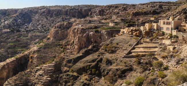
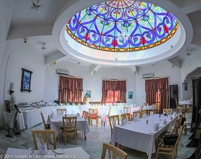
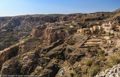
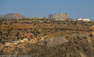
After leaving the souq, we climb some roads near Birkat Al Mouz which are controlled by the army for some reason. The road is extremely steep and also has sharp curves, so our 4x4s get a good workout today on Oman’s spectacular mountain highways! Two of our 4×4 vehicles have broken down so far, but the local tour company is replacing them with no delays. We drive through the lower plateau of Jebel Akhdar, where most of the market-gardening happens in terraced plots in small villages clinging to the steep hillsides. We have a wonderful buffet lunch at the very remote Jabal Akdhar Hotel., which is 2,000 metres above sea level.

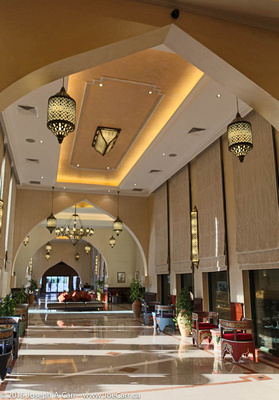
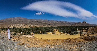
Our final destination today is Nizwa, a large city which lies on a plain surrounded by a palm oasis and some of Oman’s highest mountains. Our Golden Tulip Nizwa Hotel is quite palatial!