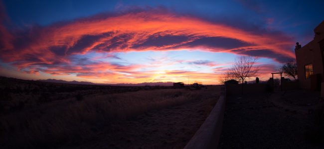
July 7, 2018 Saturday – Southern Okanagan Valley, British Columbia, Canada
Victoria to Calgary road trip 2018

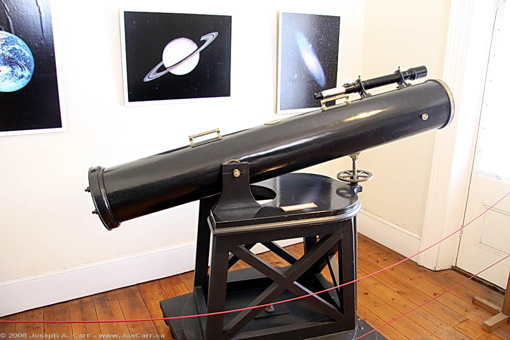
I have coffee and my wonderful breakfast of French Toast and fresh berries at the B&B this morning. As a dedicated amateur astronomer, I have always wanted to visit the Dominion Radio Astrophysical Observatory, so this morning I finally get to take a personalized tour kindly offered by their public outreach officer. The instruments I see up close:
- 10.7cm solar radio flux monitoring telescope – this telescope has reliably measured the Sun’s activity over the last 50 years, and is still an important data source for communications companies!
- Synthesis Telescope – a 7-element array of 9m telescopes that run on rails.
- Canadian Hydrogen Intensity Mapping Experiment (CHIME). This instrument maps hydrogen density – large instantaneous field of view (~200 square degrees) and broad frequency coverage (400-800 MHz). Astronomers are discovering new “Fast Radio Bursts” and it is also used for monitoring many pulsars on a daily basis. Global News, August 3, 2018 – Canadian radio telescope records mysterious low-frequency bursts from outside our galaxy
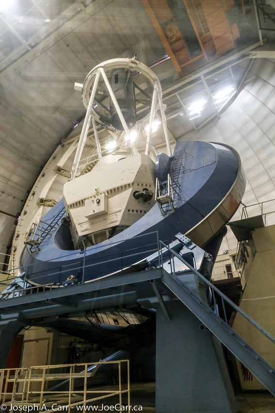
- John A. Galt Telescope – 26m prime-focus, equatorially-mounted telescope. The first astronomical radio observations using Very Long Baseline Interferometry were proven using this dish and another one located at Algonquin Park in Ontario on Apr 17, 1967.
- 22MHz telescope – This instrument consists of 1,700 telephone poles supporting miles of wire. It mapped the entire sky in very long radio wavelengths (13.6cm) from 1960s-70s. There is a panoramic image of the Radio Milky Way on display in the main building foyer, which is derived from data from the Galactic Plane Survey done by this radio telescope over 10 years.

I drive to Penticton to charge my Tesla Model S using the DC Fast Charger located downtown, and then return to the B&B for a light lunch. The main reason I am staying two nights in Okanagan Falls is to reconnect with a school friend who lives in the area. We went to school together when we were kids, but only reconnected a few years ago after decades went by. I drive over to his place this afternoon to reunite and to meet his family. We go on a short wine tour south of Okanagan Falls, but since I’m driving, I abstain from most of the tasting as we visit:
- Wild Goose winery – wine tasting – I buy their Pinot Gris 2017, and my friends also buy wine
- Stag’s Hollow winery – wine tasting – my friends buy wine
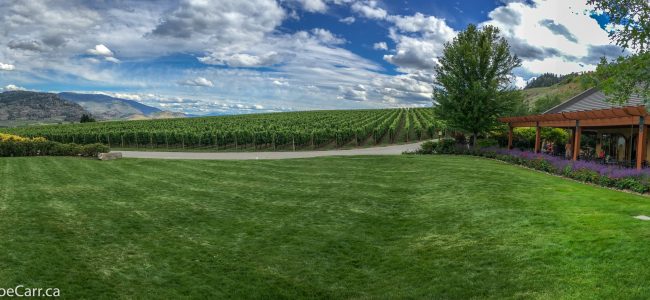
- Hester Creek winery – we have bread, wine and enjoy the music on the patio (see banner photo above)
After we return, my friend barbecues salmon for dinner, and we all have some wine on the patio while he and I catch up a bit after all the years that went by! It was a lovely way to end the day…